Download
1 / 15
160 likes | 251 Views
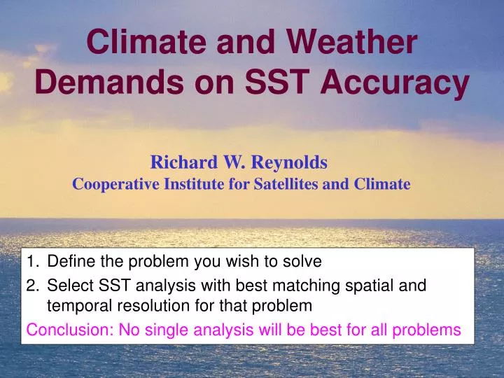
Climate and Weather Demands on SST Accuracy. Richard W. Reynolds Cooperative Institute for Satellites and Climate. Define the problem you wish to solve Select SST analysis with best matching spatial and temporal resolution for that problem

E N D
Climate and Weather Demands on SST Accuracy Richard W. Reynolds Cooperative Institute for Satellites and Climate • Define the problem you wish to solve • Select SST analysis with best matching spatial and temporal resolution for that problem • Conclusion: No single analysis will be best for all problems
Consider 3 SST Problems • Long-term climate: decades and longer • Example: Global trends • Middle-term climate: seasonal to decadal • Example: ENSO • Niño 3.4 (5°S-5°N, 170°W-120°W) • Short term weather: High resolution SSTs to improve weather forecasts • SST intercomparisons
SST Analyses • Analyses produce regular gridded fields from irregularly spaced data • Empty grid boxes are filled by interpolation & extrapolation • 3 types of analysis errors • Random, sampling, & bias
SST Analyses Focus on 3 types of analyses • Monthly ERSST: 1854-present, 2° grid • In situ data only • Weekly OI: 1981-present, 1° grid • In situ data + AVHRR • Daily OI: 1981-present, 1/4° grid • In situ data + AVHRR (AVHRR-only) • In situ data + AMSR+AVHRR (AMSR+AVHRR)
Historic In Situ SST Samplingby Decade 1860-69 1900-09 • Based on monthly sampling: at least 1 observation/month • Maximum: 120 months per decade 1950-59
AVHRR Coverage: NOAA-18 3 January 2007 • Daily: top 2 panels • Weekly: bottom 2 panels • Analyses must interpolate & extrapolate missing grid boxes • Weekly has far fewer missing boxes
In Situ Biases • Global average SST anomaly (°C) • Different bias corrections for ship SST data • Courtesy: UK Met Office New Corrections Original Corrections 1941) Uncorrected data
Nighttime Satellite Bias wrt Daily OI: AMSR+AVHRR Zonal & Temporal Average: 1 Jan 2006 - 31 Dec 2008 • Between 10°S-15°N • 2 similar pairs: (AATSR & NOAA-17) and (AMSR & NOAA-18) • South of40°S and north of 40°N large bias differences
Long-Term AveragesAnnual 60°S-60°N SST • After 1940s, the average trend is ~0.1°C/decade • Global errors must be < 0.05°C/decade 1941)
Monthly Averaged SSTs: 60°S-60°N Weekly OI ~ - 0.05°C Daily OI (AVHRR-only) ~ - 0.10°C Pathfinder ~ - 0.05°C Navy ~ - 0.05 Ship bias wrt buoys removed January 2000 – December 2009 Biases with respect to ERSST Navy Pathfinder
Monthly Averaged SSTs: Niño 3.4 Little difference among analyses ENSO signal is large compared to bias error January 2000 – December 2009
Monthly SST fields for December 2009 Three analyses • AVHRR-only (top panel) is too noisy • ERSST (bottom panel) is too smooth • Cold water is missing ~20°S • I prefer the Weekly OI (middle panel) for the ENSO signal
Nor’easter: Blizzard of February 11, 2006 • Forecasts during tropical and extra-tropical cyclones improved with accurate high resolution SSTs • Getting accurate high resolutionSSTs during these storms are difficult due to cloud cover • Especially near the coast were microwave SST is missing
Daily SST fields for 1 January 2007 • In winter warm Gulf Stream is found off shore while colder shelf water is present between the Gulf Stream and the coast • Note in particular the differences near the South Carolina Coast (33°, 80°W) • Colder shelf water is evident in the NCODA (lower panel) but not in OSTIA (upper panel) • Difference ~ 5°C • Further comparisons: Reynolds & Chelton (2010)
Conclusions Define the problem you wish to solve Consider SST signal and SST noise Consider importance of any bias error Select SST analysis with best matching spatial and temporal resolution for that problem Remember that analyses (especially high resolution analyses) must fill empty grid boxes by interpolation and extrapolation No single analysis will be best for all problems