Download

1 / 13
130 likes | 138 Views
Bhunaksha is a versatile cadastral mapping software developed by NIC, designed to manage digitized cadastral maps with features for customization, integration, map printing, dividing plots, and more.

E N D
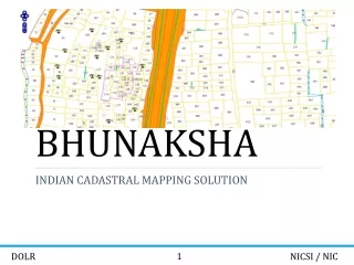
BHUNAKSHA INDIAN CADASTRAL MAPPING SOLUTION 1 NIC
INTRODUCTION Bhunaksha is a cadastral mapping software developed by NIC using Open source applications and libraries to facilitate management of digitized cadastral maps. With proper customization Bhunaksha can be integrated with existing Land Records application of any states that deals with textual data. Features • Developed using Free and Open source software. Platform independent • Web, Desktop and Mobile Application • Facilitates Dividing plot maps, Printing, Merging and more.. • Can take input from multiple sources: Shape file, ArcInfo files, Survey Data, FMB Ladder Data... • Supports Geo-Referencing legacy maps 2 NIC
BHUNAKSHA ARCHITECTURE 3 NIC
VILLAGE MAP VIEW Village map view is the default view of Bhunaksha when invoked through web url by public, after logging in as user in web or desktop application. 4 NIC
PLOT REPORT Plot Report is a printable report which will have map of an area containing the plot. It will have location and owner information along with the map. It is possible to generate the map to any scale and overlaying layers. 5 NIC
MAP PRINTING Bhunaksha has a module for printing Village Map and Plot Map with ROR information 6 NIC
DIVIDING PLOT A plot can be split into any number of subdivisions. Splitting is done by creating division line. There are a number of methods for creating division line. 7 NIC
MULTIPLE PLOT DIISION Bhunaksha has the facility to cut out one or more parcels from area of existing plots in a village map. The new parcel can be extracted by joining a group of points identified in the village map. Cutting a road in the village map is an example of multiple plot division. 8 NIC
CREATING MAP FROM FMB/TIPPON/ETS DATA Maps can be created interactively from FMB (Field Measurement Book) data and tippon sketch. Data extracted from ETS/GPS equipments can be used for generating maps 9 NIC
BHUNAKSHA MOBILE APP Bhunaksha mobile app is available for android mobiles. It supports viewing village map and plot details online, viewing plot report online, saving village map and plot report for offline operation, updating comments of any selected plot. 10 NIC
GEOREFERENCING VILLAGE MAPS It is possible to georeference a village map with the help of village boundary layers from NIC Maps (http://nicmaps.rsgis.nic.in/) and other online services offered by Bing, Google, Bhuvan etc. Onscreen georeferencing is possible by correlating some known coordinates of digitized map with the coordinates of georeferenced maps. 11 NIC
Person Parcel Pixel Linking Georeferenced cadastral maps interlinked with Aaadhar updated ROR data facilitates person parcel pixel linkage through bhunaksha 12 NIC
SERVICE INTEGRATION Bhunaksha serves web map serices and other spatial services which can be used for GIS based service delivery interfaces