Download
1 / 18
180 likes | 302 Views
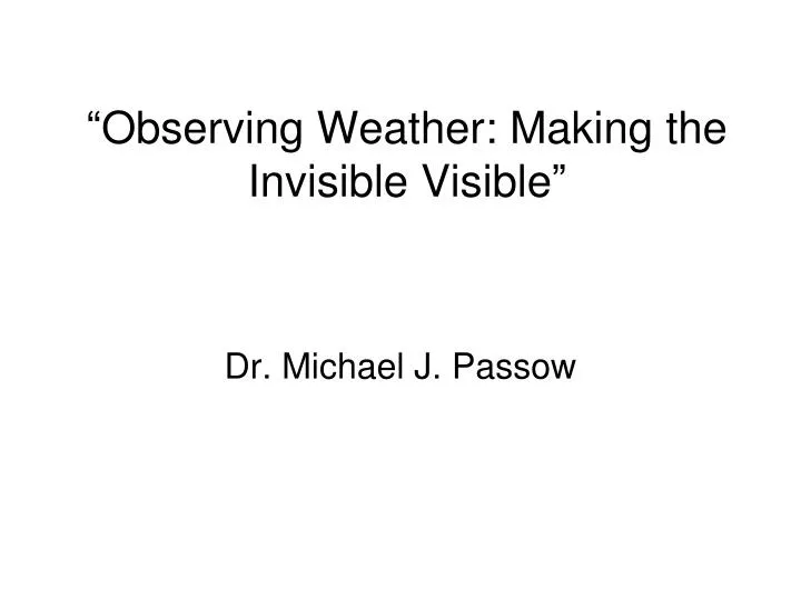
“Observing Weather: Making the Invisible Visible”. Dr. Michael J. Passow. What Is Weather?. “Weather” refers to the conditions of the atmosphere at a certain place and time.

E N D
“Observing Weather: Making the Invisible Visible” Dr. Michael J. Passow
What Is Weather? “Weather” refers to the conditions of the atmosphere at a certain place and time. Weather differs from “Climate,” which deals with long-term conditions in the atmosphere—patterns, averages, and extremes (most/maximum and least/ minimum).
We Can’t See Air, So What Can We Measure? • Temperature • Pressure • Wind direction and speed • Moisture—Humidity and Dew Point • Clouds—coverage and type • Precipitation—type and amount • Special Conditions and Changes
Temperature Temperature is a measure of how much heat energy the air molecules possess Thermometers can measure heat by expanding and contracting metal coils (left) or liquids (right) [Source: www.weatheraffects.com]
Pressure Air molecules push down on objects—including you—with a force that we call the “barometric pressure.” Metal coils in barometers, as in thermometers, respond to differences by expanding or contracting, causing a dial to move or change the LED display [Source: www.accumall.com]
Wind Direction and Speed When air moves—”wind”—we feel both its direction and speed (force.) Direction is measured with a “vane”—an arrow or other shape that points into the wind. Speed is measured with an “anemometer.” The faster the cups spin, the faster the wind. [Source: www.fascinatingelecronics.com]
“Dew Point” • As air cools, its relative humidity rises until reaching 100% and saturation. • You are familiar with this because when you have an iced drink in the summer, droplets form on the outside of the glass as the air right next to the glass is cooled. • The temperature at which saturation occurs is called the DEW POINT.
Measuring Precipitation • Rain is easy to measure—all you need is an “open tube with a ruler”—a RAIN GAUGE. • “Tipping bucket” rain gauges can measure rainfall outside and connect to show a display inside. [Sources: www.accumall.com and www.novalynx.com
Measuring Snowfall • Measuring how much snow falls is trickier than measuring rain, because wind can carry it away or pile it up in drifts. • Meter sticks or rulers in carefully selected locations are used to record how deep the snow lies. • Meteorologists may also melt snow to find its “water equivalent”—what it would have been had it fallen as rain.
Clouds Meteorologists monitor clouds in several ways: • How much of the sky do they cover? • What kinds of clouds are they? • What kinds exist at different levels (low, middle, and high altitudes)? • In which direction are they moving?
Types of Clouds In the early 1800s, Luke Howard (a science teacher in England) published a system to describe different types of clouds. He used the term CUMULUS for “fluffy” clouds. [http://inspire.ospi.wednet.edu:8001/curric/weather/pricloud/]
CIRRUS are the high “feathery” clouds STRATUS are flat clouds A stratus cloud at the ground is called FOG “Cirrus” and “Stratus” Clouds
“Present Weather” • When rain, snow, or other forms of precipitation, lightning, and special weather conditions exist, these are shown by symbols to the left of the circle between air temperature and dew point temperature rain showers thunderstorm * snow
Weather balloons and radiosondes are launched twice a day • at 00Z and 12 Z (7 pm and 7 am EST) • Ground antennas receive the radioed signals as the balloon rises • Computers interpret the signals and send them to the NWS network http://www.erh.noaa.gov/okx/upperair.htm
Upper air information is crucial for • Aircraft flying across the country and round the world • Forecasters who need information about the 3-dimensional characteristics of the atmosphere • Upper air data, like surface data, can be represented in charts for different pressure levels
This color-enhanced image shows a storm passing Des Moines, Iowa. Heavier precipitation is shown by yellows and greens. http://radar.weather.gov/radar/latest/DS.p19r0/si.kdmx.shtml
Here is a satellite image for the same time. ”X” shows the area where the storm in the radar image was located X http://64.55.87.13/dstreme/sat/sat_ir.gif
Conclusions • Weather occurs at local, regional and global scales • So modern weather observation and forecasting uses simple instruments and the most advanced technologies • Even so, “Some People Are Weatherwise, But Most Are Otherwise” (as Ben Franklin wrote in “Poor Richard’s Almanac”) • Which will you be?