Download
1 / 22
220 likes | 225 Views
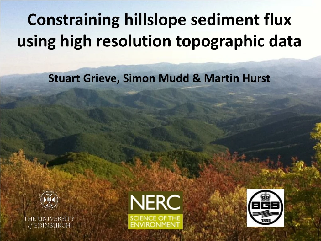
Constraining hillslope sediment flux using high resolution topographic data. Stuart Grieve, Simon Mudd & Martin Hurst. What is hillslope sediment flux?. Volume of sediment transported on a hillslope per unit area in a period of time Integral in landscape evolution modelling.

E N D
Constraining hillslope sediment flux using high resolution topographic data Stuart Grieve, Simon Mudd& Martin Hurst
What is hillslope sediment flux? • Volume of sediment transported on a hillslope per unit area in a period of time • Integral in landscape evolution modelling • Sediment flux controls: • Geometry of hillslopes • Landscape response to climate and tectonic forcing
What is hillslope sediment flux? • Creep dominated landscapes • High infiltration capacity
What is hillslope sediment flux? • Two end-member models of sediment flux:
Constraining linear flux • Mckean (1993) • Small (1999) • Cosmogenic radionuclides
Constraining nonlinear flux • Howard (1994) • Basin modelling • Roering (1999,2001) • CRN & basin measurements • Analogue hillslopes
Constraining sediment flux • Limited to local scale • Can we constrain hillslope sediment flux at a landscape scale? • Both models make predictions about relief structure of landscapes
Predicted relief structure: Linear • Steady state hillslope • Uplifted at 0.1, 0.2 & 0.3 mm/yr
Predicted relief structure: Nonlinear • Steady state hillslope • Uplifted at 0.1, 0.2 & 0.3 mm/yr
Dimensionless relief and curvature Oregon Coast Range Gabilan Mesa
Topographic analysis • Challenge is to move beyond basin scale • We need to measure some parameters continuously across our landscapes: • Hillslope length • Relief • Hilltop curvature
Connecting hillslopes to channels • Model sediment flow from hilltop to channel • Couples every hillslope to it’s channel
Measuring hillslopes directly • Don’t use steepest descent • Model flow within each pixel • Gives a more realistic flow path on hillslopes 100 150 20 280 170 70 120 350 90
Measuring hillslopes directly • We have continuous measurements of these values across our landscapes 72 m 57 m
Measuring hillslopes directly 39 m 37 m
Measuring hillslopes directly 0.014 m-1 0.07 m-1
Conclusions • Strong evidence for nonlinear sediment flux at a landscape scale • Dimensionless parameters show more variation than expected for steady state landscapes
LSDTopoTools • Interested in trying this software out? • Poster P-S1