Download
1 / 3
30 likes | 38 Views
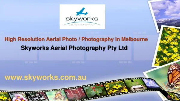
Discover high-quality aerial photography services in the UK with Getmapping. Our innovative geospatial solutions offer scalable options for mapping, data hosting, online delivery, and web-based GIS. Trust our portfolio of value-added products to meet your specific needs and enhance your projects.<br><br><br><br><br>

E N D
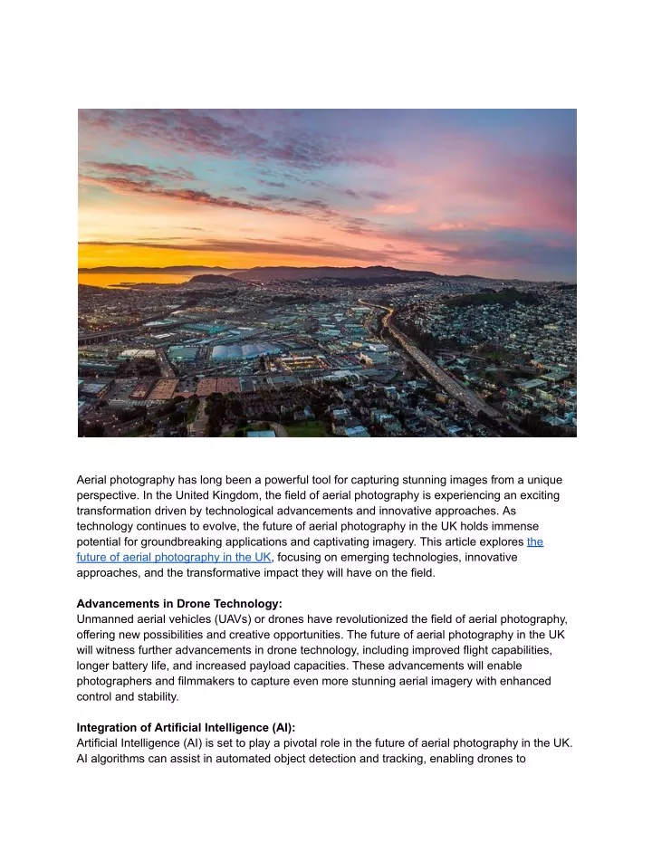
Aerial photography has long been a powerful tool for capturing stunning images from a unique perspective. In the United Kingdom, the field of aerial photography is experiencing an exciting transformation driven by technological advancements and innovative approaches. As technology continues to evolve, the future of aerial photography in the UK holds immense potential for groundbreaking applications and captivating imagery. This article explores the future of aerial photography in the UK, focusing on emerging technologies, innovative approaches, and the transformative impact they will have on the field. Advancements in Drone Technology: Unmanned aerial vehicles (UAVs) or drones have revolutionized the field of aerial photography, offering new possibilities and creative opportunities. The future of aerial photography in the UK will witness further advancements in drone technology, including improved flight capabilities, longer battery life, and increased payload capacities. These advancements will enable photographers and filmmakers to capture even more stunning aerial imagery with enhanced control and stability. Integration of Artificial Intelligence (AI): Artificial Intelligence (AI) is set to play a pivotal role in the future of aerial photography in the UK. AI algorithms can assist in automated object detection and tracking, enabling drones to
intelligently identify and capture specific subjects of interest. This integration of AI in aerial photography will streamline workflows, enhance efficiency, and unlock new creative possibilities by automating tedious tasks and enabling more precise image capture. Multi-Sensor Fusion: The future of aerial photography will witness the fusion of various imaging sensors, including RGB cameras, thermal cameras, LiDAR, and hyperspectral sensors. This multi-sensor approach will enable comprehensive data capture, providing valuable insights beyond visual imagery. The integration of different sensors will facilitate enhanced environmental monitoring, precise topographic mapping, and advanced analytics for diverse applications ranging from agriculture and infrastructure development to environmental conservation. 3D Modeling and Photogrammetry: The future of aerial photography in the UK will see an increased focus on 3D modeling and photogrammetry. Utilizing aerial imagery, drones equipped with advanced sensors and software will be able to capture data for creating detailed 3D models of landscapes, buildings, and objects. This technology will find applications in urban planning, architecture, virtual reality, and heritage preservation, enabling immersive experiences and accurate measurements. Hyper-Resolution Imagery: Advancements in sensor technology will result in hyper-resolution aerial imagery in the future. Ultra-high-resolution cameras mounted on drones or other aerial platforms will capture imagery with exceptional detail, allowing for precise analysis, measurement, and mapping. Hyper-resolution imagery will be particularly beneficial in sectors such as agriculture, environmental monitoring, and infrastructure development, enabling accurate assessment and decision-making. Augmented Reality (AR) Integration: The future of aerial photography will witness the integration of augmented reality (AR) technology. By combining aerial imagery with AR overlays, users will be able to explore and interact with the environment in real-time, transforming the way they perceive and experience aerial photography. AR integration will have applications in tourism, real estate, urban planning, and education, offering immersive and informative experiences to users. Enhanced Safety and Regulations: As the field of aerial photography advances, safety and regulations will play a crucial role. The future will see the development of improved flight planning tools, obstacle detection systems, and geofencing technologies to ensure safe and responsible aerial photography operations. Regulatory bodies will continue to refine and update regulations to address privacy concerns, airspace management, and pilot certification requirements. Innovative Applications and Industries: The future of aerial photography in the UK will witness its expansion into new industries and innovative applications. Fields such as delivery services, infrastructure inspection, disaster
response, and environmental monitoring will increasingly rely on aerial imagery for data collection and analysis. Additionally, emerging sectors like autonomous vehicles and smart cities will utilize aerial photography to provide valuable data for navigation, traffic management, and urban planning. Collaboration with Other Technologies: The future of aerial photography will see collaborative efforts with other technologies, such as satellite imaging, Internet of Things (IoT) devices, and cloud computing. Integration with satellite imagery will provide a broader perspective and global coverage, while IoT devices will enable real-time data collection and connectivity. Cloud computing will facilitate data storage, processing, and analysis, allowing for efficient management of vast amounts of aerial imagery. Environmental Conservation and Education: The future of aerial photography in the UK will also focus on environmental conservation and education. Aerial imagery can contribute to the documentation and monitoring of ecosystems, biodiversity, and climate change impacts. It can raise awareness, inform policy decisions, and educate the public about the importance of environmental preservation. Aerial photography will play a critical role in engaging communities and inspiring action for a sustainable future. Conclusion: The future of aerial photography in the UK holds immense promise, driven by technological advancements and innovative approaches. With the integration of AI, multi-sensor fusion, 3D modeling, hyper-resolution imagery, AR integration, enhanced safety measures, and collaborations with other technologies, aerial photography will push boundaries and unlock new possibilities. From diverse applications in industries ranging from infrastructure development and agriculture to environmental conservation and education, aerial photography will continue to captivate audiences, inspire creativity, and provide valuable insights into our world from a unique perspective. As the future unfolds, the sky will truly be the limit for aerial photography in the UK.