Download
1 / 25
270 likes | 288 Views
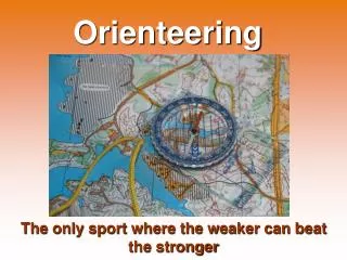
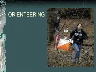
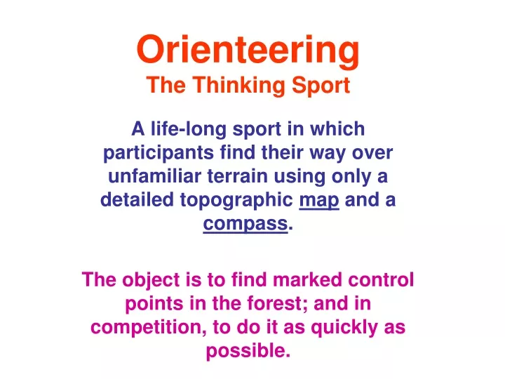
Orienteering The Thinking Sport. A life-long sport in which participants find their way over unfamiliar terrain using only a detailed topographic map and a compass . The object is to find marked control points in the forest; and in competition, to do it as quickly as possible. Features.

E N D
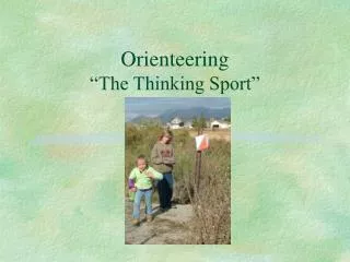
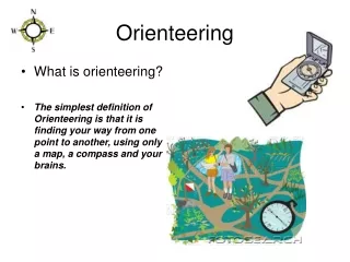
OrienteeringThe Thinking Sport A life-long sport in which participants find their way over unfamiliar terrain using only a detailed topographic map and a compass. The object is to find marked control points in the forest; and in competition, to do it as quickly as possible.
Features • Combines mental skills (navigation and route selection) with physical skills (moving over natural wooded terrain) • Orienteer choosesthe activity level • Run, jog, walk, stroll, meander • Easy, moderate, and difficult courses • Take your performance seriously or not • Compete against your own age group or not
Overview for Today • Orienteering Maps • What skills you need and who does Orienteering • What a course is and what the orienteer does at an event • Orienteering when there is no event
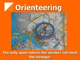
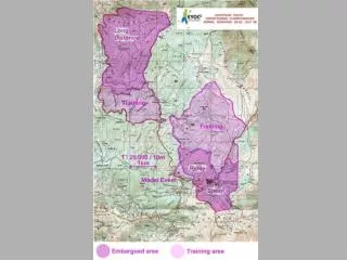
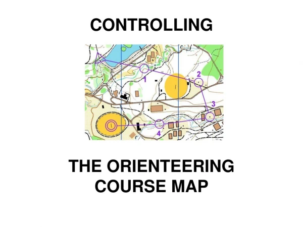
Map Features • Scale - usually 1:15000 or 1:10000 with North lines pointing to Magnetic North 6 Colors; each has meaning: • Black Roads, trails, boulders, cliffs • Blue Ponds, lakes, streams, marshes • Brown Contour lines - connecting points of equal elevation; usual interval is 5 meters. • Yellow Open, cleared areas • White Runnable forest • Green Vegetation, darker means thicker
The Compass Used to keep you and your map oriented Used in taking a bearing Used when you become disoriented (lost)
Skills Used • Terrain association (the first step) - ability to translate what the orienteer sees in the forest into its depiction on the map and vice versa. • Taking a bearing – finding a direct route to a control off in the forest. • Counting paces – to measure distance • Making route choices – deciding how to get from here to there • Adjusting for errors • When in competition – doing it all on the run
So, Who Does This? • Orienteers • Boy scouts, girl scouts, cub scouts • 4-H clubs • ROTC and JROTC • Civil Air Patrol • Search and Rescue units • Adventure racers • Cross-country runners, Hikers, Hunters • Almost anyone who enjoys the outdoors and wants a little structure or challenge in their activities
A Course • Typical “cross-country” course: sequence of marked locations in the forest, each is called a control point • Control points are marked in the forest by orange and white control flags and on the map by purple circles • The circles are connected by lines to show sequence but not route • The orienteer must choose his/her own route • The orienteer also gets descriptions of the control feature
What an Orienteer Does • Interval starts on course of your choosing; spaced at least two minutes apart • Go to each control in sequence • At the control, make a record of having been there • After the last control, go to the finish and get the record verified and time recorded • Brag or complain about how things went; compare with others on the same course
Permanent Course Controls 4-inch white/orange squares with letter and/or number Placed on a post Orienteer records square letter on paper; and checks letter sequence for correctness
Western Pennsylvania Orienteering Club • Public O-meets, Fall & Spring • Free instruction for all beginners • And it’s near you – throughout Western PA • www.wpoc.org • orienteeringusa.org for other clubs in USA