Download
1 / 12
120 likes | 229 Views
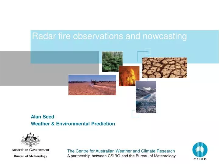
Radar fire observations and nowcasting. Alan Seed Weather & Environmental Prediction. What does the radar see?. Radar cross section. D is the diameter of the target ash particle λ is the radar wavelength K depends on the surface property of the ash.

E N D
Radar fire observations and nowcasting Alan Seed Weather & Environmental Prediction
What does the radar see? Radar cross section • D is the diameter of the target ash particle • λ is the radar wavelength • K depends on the surface property of the ash • Radar reflectivity is the sum of the returned power from all the ash particles that are illuminated in the radar beam • Returned power depends on the 6th power of the particle diameter • Will only see the larger ash particles and not the smoke • Have no idea how the ash particle size distribution varies with the intensity of the fire or with the nature of the fuel • Shorter wavelength eg 3 cm (X-Band) would be ideal for this application The Centre for Australian Weather and Climate ResearchA partnership between CSIRO and the Bureau of Meteorology
Loop from the radar at Yarrawonga The Centre for Australian Weather and Climate ResearchA partnership between CSIRO and the Bureau of Meteorology
Loop from Melbourne The Centre for Australian Weather and Climate ResearchA partnership between CSIRO and the Bureau of Meteorology
Vertical profiles of radar reflectivity The Centre for Australian Weather and Climate ResearchA partnership between CSIRO and the Bureau of Meteorology
Vertical profiles of radar reflectivity The Centre for Australian Weather and Climate ResearchA partnership between CSIRO and the Bureau of Meteorology
Vertical profiles of radar reflectivity The Centre for Australian Weather and Climate ResearchA partnership between CSIRO and the Bureau of Meteorology
Severe fires have a higher vertical profile The Centre for Australian Weather and Climate ResearchA partnership between CSIRO and the Bureau of Meteorology
Echo top height The Centre for Australian Weather and Climate ResearchA partnership between CSIRO and the Bureau of Meteorology
Integrate the reflectivity in the vertical The Centre for Australian Weather and Climate ResearchA partnership between CSIRO and the Bureau of Meteorology
Doppler Winds The Centre for Australian Weather and Climate ResearchA partnership between CSIRO and the Bureau of Meteorology
Conclusions • Modern weather radars can see severe fires over long distances • Radar reflectivity, echo top height, vertical profile probably can be used to determine the location and relative intensity of a severe fire • Doppler wind information can be used to provide wind fields in the fire area • Better information could be provided by purpose built X-Band weather radars that are located at strategic locations closer to the fire area • Could also be possible to use a mobile weather radar and deploy it to pre-determined locations as the need arises • Worth investigating the possibility of using methods that have been developed to track storms to predict the location of fires The Centre for Australian Weather and Climate ResearchA partnership between CSIRO and the Bureau of Meteorology