Download
1 / 16
160 likes | 165 Views
Census Cartography: Organizational and Institutional Issues. Overview. Building a geospatial Infrastructure: Census geography programme: continous process Using geospatial technologies at all census stages Institutional and organizational issues: In-house Cartography/GIS unit

E N D
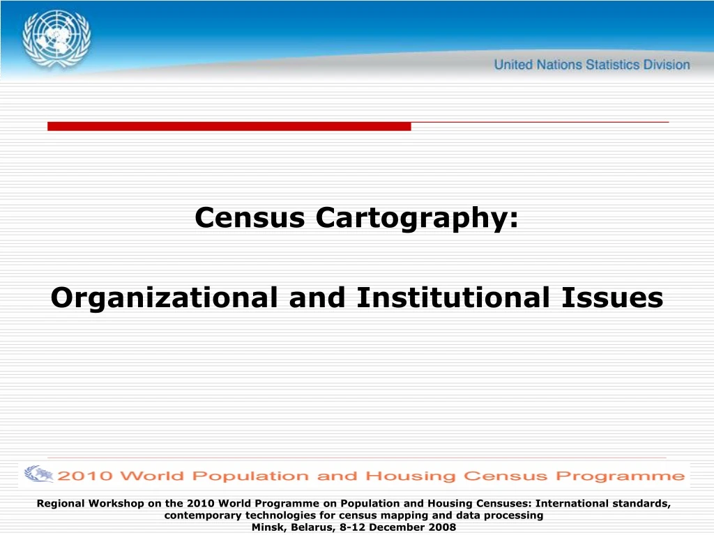
Census Cartography: Organizational and Institutional Issues Regional Workshop on the 2010 World Programme on Population and Housing Censuses: International standards, contemporary technologies for census mapping and data processing Minsk, Belarus, 8-12 December 2008
Overview • Building a geospatial Infrastructure: • Census geography programme: continous process • Using geospatial technologies at all census stages • Institutional and organizational issues: • In-house Cartography/GIS unit • Technical and human capacities • Institutional collaboration • NSDI • Conclusion Regional Workshop on the 2010 World Programme on Population and Housing Censuses: International standards, contemporary technologies for census mapping and data processing Minsk, Belarus, 8-12 December 2008
Census Geography Programme: a continuous process • The recommendations derived from the UN EGM on GIS and census mapping emphasized the need for countries to consider the census geography programme as a continuous process, rather than the sequential mapping and dissemination operations. • It was also emphasized that the use of and application of contemporary geospatial technologies and geographical databases is beneficial at all stages of population and housing census process. Geospatial improve the efficiency in the preparatory, enumeration, processing and dissemination phases of the census Regional Workshop on the 2010 World Programme on Population and Housing Censuses: International standards, contemporary technologies for census mapping and data processing Minsk, Belarus, 8-12 December 2008
Geospatial Technologies at all stages (Pre-enumeration) (Enumeration) (Post-enumeration) Digital Mapping Digital Mapping Thematic Maps Census Database Databases Maintenance Geodatabase/GIS Mobile GIS Aerial Photo. GIS Satellite Imagery GPS/PDA Internet Mapping GPS EAs Units Administrative and Reporting Units Regional Workshop on the 2010 World Programme on Population and Housing Censuses: International standards, contemporary technologies for census mapping and data processing Minsk, Belarus, 8-12 December 2008
Census Geography Programme National Statistical Organizations should: Develop GIS as a long term project: To prepare the census enough in advance Too expensive for the census only To be used beyond the census as infrastructure for other statistical purposes (other sources, sample frame...) Ensure the availability of adequate resources to that end; Actively participate, in partnership with other national authorities, in the development of a national geographical information capacity, including the National Spatial Data Infrastructure (SDI): sharing data, standards, etc. Regional Workshop on the 2010 World Programme on Population and Housing Censuses: International standards, contemporary technologies for census mapping and data processing Minsk, Belarus, 8-12 December 2008
Institutional/Organizational Issues • It is becoming clear that the major barriers to integrate geospatial technologies with census mapping are not necessarily technical but rather institutional and organizational • A specialized in-house Cartography/GIS unit • Building technical and human capacities • Participating in the building of the National Spatial Data Infrastructure (NSDI): NSO can be custodian of basic components Regional Workshop on the 2010 World Programme on Population and Housing Censuses: International standards, contemporary technologies for census mapping and data processing Minsk, Belarus, 8-12 December 2008
Spatial Data Infrastructure (SDI) • Geographic Information: • Infrastructure concept • Important as physical infrastructure assets such as roads, communications networks, and other public utilities • Promoted through UN Regional Cartographic Conferences (Americas and Asia &Pacific), UN Geographic Information Working Group (UNGIWG), and the Global SDI Association… Regional Workshop on the 2010 World Programme on Population and Housing Censuses: International standards, contemporary technologies for census mapping and data processing Minsk, Belarus, 8-12 December 2008
National Spatial Data Infrastructure (NSDI) • Definition - the technology, policies, standards, human resources, and related activities necessary to acquire, process, distribute, use, maintain, and preserve spatial data • Part of a nation’s e-Gov strategy • www.GSDI.org Regional Workshop on the 2010 World Programme on Population and Housing Censuses: International standards, contemporary technologies for census mapping and data processing Minsk, Belarus, 8-12 December 2008
Framework Data (common)/ Reference Data • Geoditic network • Administrative Boundaries • Hydrography • Elevation • Roads and Railroads • Cadastre (Land System) • Geographical Names Regional Workshop on the 2010 World Programme on Population and Housing Censuses: International standards, contemporary technologies for census mapping and data processing Minsk, Belarus, 8-12 December 2008
List of 13 Core Layers (UN)(tobe reviewed, Santiago Nov. 2006) • Transportation network/Roads/rails/Navigation routes • Population centres / gridded Population density • Hydrography / Hydrology / drainage network/ River and lake basins • Hydrogeology • Coastlines • Land-cover/Land-use • Hypsographic ( elevation contours) • Bathymetry • Landmine areas • Protected area / Restricted areas • Geology, geomorphology • Airports/Helipad • Health facilities Regional Workshop on the 2010 World Programme on Population and Housing Censuses: International standards, contemporary technologies for census mapping and data processing Minsk, Belarus, 8-12 December 2008
Main NSDI Components Regional Workshop on the 2010 World Programme on Population and Housing Censuses: International standards, contemporary technologies for census mapping and data processing Minsk, Belarus, 8-12 December 2008
Some SDI examples • Regional SDI: INSPIRE • INSPIRE: Infrastructure for spatial information in Europe • Adopted on 21 November 2006 • UNSDI: • UN Geographic Information Working Group: Umbrella for UN bodies, in charge of the UN SDI • Second Administrative-Level Boundaries (SALB) Project • Global Mapping Initiative: • Core layers at 1:1 million • More than 130 countries are involved Regional Workshop on the 2010 World Programme on Population and Housing Censuses: International standards, contemporary technologies for census mapping and data processing Minsk, Belarus, 8-12 December 2008
Geographic Information Standards • ISO/TC 211 • Countries • OpenGIS Consortium • Industry Regional Workshop on the 2010 World Programme on Population and Housing Censuses: International standards, contemporary technologies for census mapping and data processing Minsk, Belarus, 8-12 December 2008
Some good news! • A new ICA Working Group on Census Cartography • Created by ICA, Moscow, 2007 • Chair: Tim Trainor, US Census Bureau • http://cartography.tuwien.ac.at/ica/workinggroups/census/ • Terms-of-Reference: • Share and exchange information on mapping methodologies that support censuses and statistical surveys. • Encourage the use of new technologies and approaches supporting census mapping. • Serve as a forum for census cartographers and organizations that promote census mapping activities. Regional Workshop on the 2010 World Programme on Population and Housing Censuses: International standards, contemporary technologies for census mapping and data processing Minsk, Belarus, 8-12 December 2008
Conclusion • Encourage NSO to build a geospatial infrastructure in support of census activities • Cope with institutional and organizational aspects • Participate actively in the building of NSDI Regional Workshop on the 2010 World Programme on Population and Housing Censuses: International standards, contemporary technologies for census mapping and data processing Minsk, Belarus, 8-12 December 2008
Thank You! Regional Workshop on the 2010 World Programme on Population and Housing Censuses: International standards, contemporary technologies for census mapping and data processing Minsk, Belarus, 8-12 December 2008