Download
1 / 20
200 likes | 207 Views
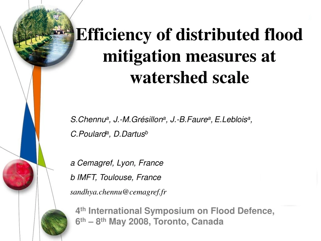
Efficiency of distributed flood mitigation measures at watershed scale. S.Chennu a , J.-M.Grésillon a , J.-B.Faure a , E.Leblois a , C.Poulard a , D.Dartus b a Cemagref, Lyon, France b IMFT, Toulouse, France sandhya.chennu@cemagref.fr. 4 th International Symposium on Flood Defence,

E N D
Efficiency of distributed flood mitigation measures at watershed scale S.Chennua, J.-M.Grésillona, J.-B.Faurea,E.Lebloisa, C.Poularda, D.Dartusb a Cemagref, Lyon, France b IMFT, Toulouse, France sandhya.chennu@cemagref.fr 4th International Symposium on Flood Defence, 6th – 8th May 2008, Toronto, Canada
Flood management principals Source: Gilard, Cemagref Best Practices on Flood Prevention, Protection and Mitigation, 2003. Water directors of European Union • From defensive action to risk management • Natural phenomena, human interference should be avoided • Flood strategy should cover the entire river basin • Promote coordinated development and management actions 4th International symposium on flood defence, 6 - 8 May 2008, Toronto
Flood management principals Appropriate strategy : Retaining 2. Storing 3. Draining Watershed scale : Complex structure • Drainage network, topography • Dispersed zones of interest Uncoordinated flood defence transfers the problem from one region to another What is the best strategy to protect dispersed zones of interest ? Test and identify efficient flood mitigation strategies at watershed scale via modelling 4th International symposium on flood defence, 6 - 8 May 2008, Toronto
Outline • Approach • Models • Watershed • Application • Calibration of models • Construction of hydrological regime • Dispersed mitigation measures • Results and discussions • Conclusions 4th International symposium on flood defence, 6 - 8 May 2008, Toronto
Approach : Models Rainfall generator Spatially distributed rainfall Spatially distributed hydrological model (MARINE) Lateral surface runoff θ= θs 1 D hydraulic model (MAGE) River flow θ= θi + Hydraulic structures To simulate physical processes 4th International symposium on flood defence, 6 - 8 May 2008, Toronto
Approach : Yzeron watershed • 150 km², Altitude: 82 m – 915 m • Tributaries: Yzeron and Charbonnières • Densely populated at the downstream • 5 discharge stations and 8 rain gauges 4th International symposium on flood defence, 6 - 8 May 2008, Toronto
Application : Calibration Approximately 9000 rainfall events ( = 1000 years data) ~ Example of a cumulated 24 hours rainfall event Stochastic Rainfall generator : Cemagref, Lyon (Leblois, 2004) Input : 12 years rainfall records from 5 rain gauges Turning Bands Method (Mantoglou and Wilson, 1982) Output : Spatially distributed rainfall fields respecting the statistical characteristics of local rainfall Simulated events : • 3 hour time step • 72 hours • 500 m X 500 m grid 4th International symposium on flood defence, 6 - 8 May 2008, Toronto
Application : Calibration Lateral surface runoffs along the watershed slope Hydraulic model : route river flow MARINE : Event based spatially distributed model IMFT, Toulouse (Estupina-Borrell, V., 2004) Input : Topography, Drainage network, Land use, Soil texture and Soil depth, Soil humidity Observed rainfall : uniformly distributed during calibration Green-Ampt infiltration model (1911) and kinematic wave theory for overland flow (Henderson and Wooding, 1964) 4th International symposium on flood defence, 6 - 8 May 2008, Toronto
Application : Calibration Calibrated November 1990 event Routes the simulated lateral surface runoffs along the drainage network to the outlet of the watershed MAGE : 1 D hydraulic model ,Cemagref, Lyon (Giraud, F.M. et al. 1997) Input : Topography of drainage network, Roughness coefficient + Simulated lateral surface runoffs Shallow water Saint Venant (1870) and Manning – Strickler (1923) head loss equations 4th International symposium on flood defence, 6 - 8 May 2008, Toronto
Application : Calibration Inflow design flood Discharge (m3/s) Time Hydrological regime scale But at watershed scale : Rainfall heterogeneity, Initial saturation condition, Drainage network Simulated spatial rainfall fall inputs to construct a reference regime (Qref) 4th International symposium on flood defence, 6 - 8 May 2008, Toronto
Application : Construction of hydrological regime Qref Charbonnières amont Q (m3/s) T (yr) Charbonnières aval Q (m3/s) Q (m3/s) Q (m3/s) Taffignon T (yr) T (yr) T (yr) Qdam Craponne • 4 control points representing zones of interest • Reference regime (Qref= no dams) from stochastic rainfall scenarios of the rainfall simulator • Introduction of dry dams for flood peak attenuation(Qdam) 4th International symposium on flood defence, 6 - 8 May 2008, Toronto
Application : Dispersed mitigation measures Dry dams High flow Qdam Normal flow Spillway Dry dam Qdam Outlet • Inflow design hydrograph: 10 yr, 50 yr, 100 yr ……. • Outlet dimension: When the dam is full, outflow discharge(Qdam) • Q2 (m3/s), Q10 (m3/s)……. 4th International symposium on flood defence, 6 - 8 May 2008, Toronto
Application : Dispersed mitigation measures Upstream dams Intermediate dams Downstream dams ~ ~ = storage volume of individual dams Constant volume & equal weight for each placement Outlet dimension : Qdam = 2 yrs return period (m3/s) 4th International symposium on flood defence, 6 - 8 May 2008, Toronto
Results and Discussions : Local evaluation Charbonnières amont 4th International symposium on flood defence, 6 - 8 May 2008, Toronto
Results and Discussions : Local evaluation Charbonnières aval 4th International symposium on flood defence, 6 - 8 May 2008, Toronto
Results and Discussions : Local evaluation Craponne 4th International symposium on flood defence, 6 - 8 May 2008, Toronto
Results and Discussions : Local evaluation Taffignon 4th International symposium on flood defence, 6 - 8 May 2008, Toronto
Results and Discussions : Spatial evaluation Mitigation factor : M = (Qref - Qdam) / Qref * li / L For a rare event (100 years return period) • Maximum mitigation assured in the presence of all the dams (high storage volume) • Upstream dams protect a large region compared the intermediate and downstream dams • Downstream dams protect only a limited reach length 4th International symposium on flood defence, 6 - 8 May 2008, Toronto
Conclusions • Dispersed flood management strategy to protect dispersed zones of interest • Importance of working at regime scale and not just test one design flood • Well defined efficiency range of mitigation strategy beyond which no attenuation is possible • Upstream mitigation measures protect a large region compared to downstream measures • For the given event the upstream dry dams assured a major contribution to flood mitigation 4th International symposium on flood defence, 6 - 8 May 2008, Toronto
Thank you for your attention 4th International symposium on flood defence, 6 - 8 May 2008, Toronto