Download
1 / 25
250 likes | 313 Views
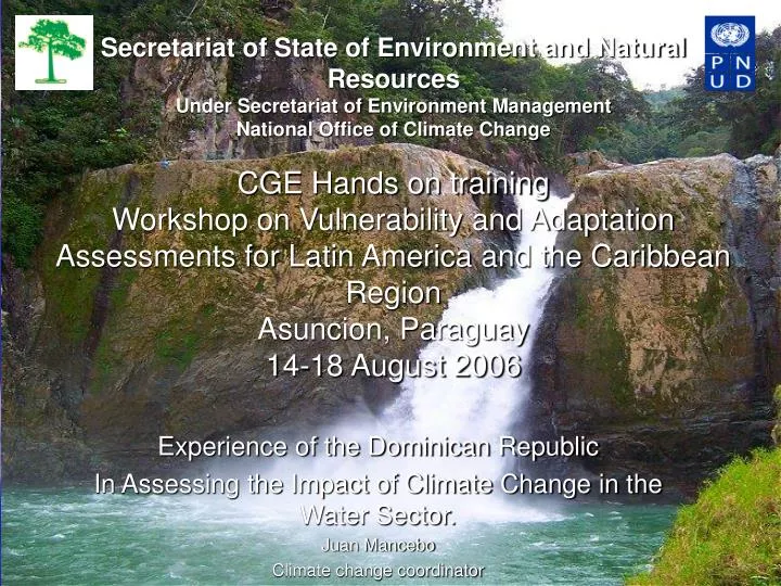
Secretariat of State of Environment and Natural Resources Under Secretariat of Environment Management National Office of Climate Change CGE Hands on training Workshop on Vulnerability and Adaptation Assessments for Latin America and the Caribbean Region Asuncion, Paraguay 14-18 August 2006.

E N D
Secretariat of State of Environment and Natural ResourcesUnder Secretariat of Environment ManagementNational Office of Climate ChangeCGE Hands on training Workshop on Vulnerability and Adaptation Assessments for Latin America and the Caribbean RegionAsuncion, Paraguay14-18 August 2006 Experience of the Dominican Republic In Assessing the Impact of Climate Change in the Water Sector. Juan Mancebo Climate change coordinator
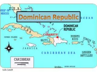
17° 36’ – 19° 58’ latitud Norte68° 19’ – 72° 01’ longitud Oeste8.562.541 habitantes
INTRODUCTION • The Vulnerability of the Caribbean Countries to the effect of the Climate Changes had been appreciated for all of us for differed way: • The incidence of hurricane each time with more intensity • Large period of draught • Currently flows • Or one beach that disappear
Raining season of the Dominican Republic • Frontal season (November – April), • Convective season (May – July) • Cyclonic season (August – October); • The spatial distribution result in a rain system very complex according to the geography relief
Spatial distribution of the lamina of rainfall in the base line .
The annual rainfall and the middle infiltration for time series 1961 - 1990
Temporal annual Series of the lamina of rainfall for the period 1961-1990.
Climate Scenery For the future climate change we used the General Circulation Model that permit the consideration of more uncertainties, (MAGIC/ SCENGEN) The temporal Horizon was of fourth period: 2010, 2030, 2050, 2100 and as Emission Scenery: • IS92c, with climate sensibility low (T=1.5ºC) • IS92a, ) with climate sensibility middle (T=2.5ºC) • IS92f. With climate sensibility high (T=4.5ºC).
Year 2010 2030 2050 2100 Temperature ºC 26.2 26.9 27.7 29.6 Rainfall mm 1277.0 1137.0 976.0 543.0 Temperature and rainfall value for the year 2100. Model HADCM2, and emission scenery IS92f
Subdivision of watersheds and hydrological areas of the Dominican Republic (according to OAS, 1967).
General hydrological data Hydrological balance in Dominican Republic (values in thousands of millions m3 • The annual rainfall for the country averaged 1,500 mm distributed in approximately 110 days, with spatial variations from 2,700 mm in some areas of the Northeast to 450 mm in the Neiba Valley. • The rains produce an annual volume of 73 thousand millions of m3 • 51 thousand millions of m3 are lost by evaporation and transpiration. • The remaining 22 thousand millions of m3 refill the rivers, streams and lagoons and infiltrates into the underground • The average final available volume averages yearly of 15 to 20 thousand millions of m3 available for different uses. • The potential of underground water has been estimated annually in 1,500 to 1,600 millions of m3 • Historically the exploitation of the water resource has centered more in the superficial waters due to its abundance. The total demand of water is from 8,000 to 9,000 millions of m3/año. B Rainfall (73) Evaporation and transpiration (51) Superficial water (15-20) Underground water (1-2)
OBJECTIVE OF THE EVALUATION OF V&A -To establish a hydrology base line for the Dominican Republic-To establish hydrology scenarios-To make recommendations for adaptation measurement -The global hydrology balance for the country was made for the yeas 2010; 2030; 2050; 2100-For the underground water the rate of the sea level was taking into consideration using the climate models-The deterioration of the hydrological reservation of underground water was only made for year 2100
The global Hydrological balances for the country select regions ware made for the years 2010, 2030, 2050, 2100. • For the undergrowth water we take into consideration the increase of the sea level that was obtained with the climate models used. • The deterioration of the undergrowth hydrology reserve only take into consideration the year 2100 for the best appreciation of the climate change impact, for be it a slowing and complex process.
Methodology use for the Evaluation of Impactfor the rain variable calculation and the evaporation and transpiration •Statistical • Thornthwaite •Expert juice 2. Turc I, II 3. Perman, 4. Total flow • Marine saline trespass • (that use the model Ghyben Herzberg)
Hydrology balance for the sceneries of Climate Change • CSRT (emission scenery IS92c) • ECH4 (emission scenery IS92a) • HADM2 (emission scenery IS92f).
Estimate hydrology balance for climate scenery for model HADCM2, with emission scenery IS92f Unit mm, W=million M3, temp inc. 4.2 °C
The Model HADCM2 show the scenery more drastic for water supply if we don’t reduce significantly the green house gases emission. In this climate scenery:a) Temperature increase 4.2 0C b) The rainfall decrease approximately 60% for the next 100 years. C) The volume of drainingwill be reduce in a 95% for the year 2100. The critic situation described with the model had a great coincidence with results obtained by meteorology Office of united Kingdom in 1998, when pointed that the East Caribbean will be the more dry zone in each scenery and model use.
IWA Category Less than 1 Catastrophic low 1.1 - 2.0 So low 2.1 - 5.0 Low 5.1 - 10.0 Moderate 10.1 - 20.0 High More than 20 Very high 1 Evaluation of water supply for development -Index of water Availability (IWA) -Index of scarcity of water Classification of the availability of water
-The actual exploitation of water resources is about 3,000 millions of M3-Using the model (CSRT) for the scenery more favorable in the year 2030 the IWA will be below the critical level about 1,000 millions of M3.
Measurement of adaptation for the hydrology sector • Build new dam and improvement of the existent capacity • -Increase of the efficiency of water management and protect this resources from contamination • Give a special importance to underground water for the fragility of this resourcesTo increase the hydraulics infrastructure
Measurement of adaptation for the hydrology sector • Build new dam and improvement of the existent capacity • -Increase of the efficiency of water management and protect this resources from contamination • Give a special importance to underground water for the fragility of this resourcesTo increase the hydraulics infrastructure