Download
1 / 18
180 likes | 287 Views
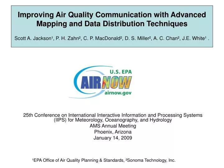
Improving Air Quality Communication with Advanced Mapping and Data Distribution Techniques Scott A. Jackson ¹, P. H. Zahn ² , C. P. MacDonald ² , D. S. Miller ² , A. C. Chan ² , J.E. White ¹.

E N D
Improving Air Quality Communication with Advanced Mapping and Data Distribution TechniquesScott A. Jackson¹, P. H. Zahn², C. P. MacDonald², D. S. Miller², A. C. Chan², J.E. White¹. 25th Conference on International Interactive Information and Processing Systems (IIPS) for Meteorology, Oceanography, and Hydrology AMS Annual Meeting Phoenix, Arizona January 14, 2009 ¹EPA Office of Air Quality Planning & Standards, ²Sonoma Technology, Inc.
Party Favors • Access to current air quality conditions and forecasts is important. (e.g. reduces emissions, saves lives). • AIRNow provides the framework for doing this. • A new AIRNow system (AIRNow-International) is improving this access through more advanced mapping and data distribution techniques. • AIRNow-International is linked into the Global Earth Observing System of Systems (GEOSS) in order to promote air quality data sharing worldwide so that people can breathe clean air everywhere (especially urban populations).
Background Non-Attainment Areas *According to 2000 census data, 131,977,890 live in ozone nonattainment areas
Background Goals: Protect public health • Provide understandable information on past, current, and future air pollution Reduce emissions to reduce pollution • Regulatory (laws) • Voluntary Increase public understanding of air pollution • Support laws and regulations • Increase chance of behavior change
8-hr ozone concentration of 87 ppb Action: Choose a cleaner commute; carpool, use public transportation, bike, or walk AQI of 129 Unhealthy for Sensitive Groups Health Effects: Irritated respiratory system, coughing, chest tightness, wheezing, or shortness of breath Daily standard Background • Air Quality Index (AQI) creates consistency • Links concentrations to health effects and actions • Ranges from 1 to 500; 101+ is unhealthy • Actions depend on • pollutant/ health effects • transport system • culture • incentives • economic level • education/outreach • climate • and more…
Background • AIRNow is a national framework for acquiring and distributing air quality information • Collects, quality assures, and transfers real-time and forecasted air quality information to the public • Gathers data provided by 120+ federal, state, and local air quality agencies • Communicates air quality with the AQI • Issues weather/air quality news stories • Partners with national media • Provides air quality education and outreach
Background AIRNow Data Flow
More Advanced Mapping Current Real-Time Air Quality Maps PM2.5 Bubble Map Ozone Contour Map
More Advanced Mapping Goals for New Maps: • Accurate maps: Interpolated AQI is consistent with observations at stations. • Spatially complete maps: use statistical interpolation techniques to provide easy-to-read maps with information in areas without monitors • Combined AQI maps: display the maximum AQI at each point, regardless of pollutant. • A statistical technique tomask off areas with sparsemeasurements Example PM2.5 map
More Advanced Mapping (3 of 7) Method of Map Development and Production • ESRI ArcGIS: a powerful multi-faceted map analysis and production tool • Geostatistical Analyst and Spatial Analyst toolboxes in ArcGIS • Provide a suite of interpolation techniques and error measures for evaluation • Can be used to produce maps in real-time using the same techniques developed in this analysis. • Map products are visually appealing, accurate, and easy to modify as needed
More Advanced Mapping (4 of 7) Results of Map Analysis: Ozone IDW Kriging Regularized Spline Observations Summary for all ozone cases Tension Spline Constrained Kriging Interpolation Error (ppb)
More Advanced Mapping Combined AQI Maps • Select maximum AQI for each location • Produce AQI values for areas that are masked out for one parameter, but not for another Ozone with mask PM2.5 with mask Combined AQI with mask
More Advanced Mapping • Data Fusion: Integrating multiple sources of air quality information • Station observations and model output • Agency forecasts and model predictions (example below) Observed Max NOAA Model Max Agency Max Animation of fused model and agency forecasts
AIRNow-International • Ground-up redesign of the U.S. AIRNow system • Transitioning from Oracle to Microsoft SQL Server • New GIS-based Mapping System (AIRNow Mapper) • Information Services (Service-Oriented Architecture approach) • RSS, CAP, KML, NETCDF, SMS text messages • Provides new, international features: • Multiple language support • World-wide mapping capability • Built with open components that can be adopted by any state, country or province
Data Files* Data Files Maps* Image layers* = file = web service = module = data/info transfer AIRNow-International Data Inputs Processing, QA, Reporting Outputs Administration of the System AIRNow Information Service AIRNow Data Management System (DMS) AIRNow Mapper Web Services* Web Service AIRNow Database *Outputs will conform to standards to promote sharing and interoperability
AIRNow-International • Supports and embraces the Global Earth Observation System of Systems (GEOSS) concept • Group on Earth Observations is a voluntary partnership of governments and international organizations • Interconnecting existing and future Earth observation systems • AIRNow-International can help countries participate in the sharingof air quality data
Party Favors • Access to current air quality conditions and forecasts is important. (e.g. reduces emissions, saves lives). • AIRNow provides the framework for doing this. • A new AIRNow system (AIRNow-International) is improving this access through more advanced mapping and data distribution techniques. • AIRNow-International is linked into the Global Earth Observing System of Systems (GEOSS) in order to promote air quality data sharing worldwide so that people can breathe clean air everywhere (especially urban populations).
Contact Information Scott Jackson US EPA AIRNow Program – www.airnow.gov jackson.scott@epa.gov 919-541-5647