Download
1 / 3
30 likes | 175 Views
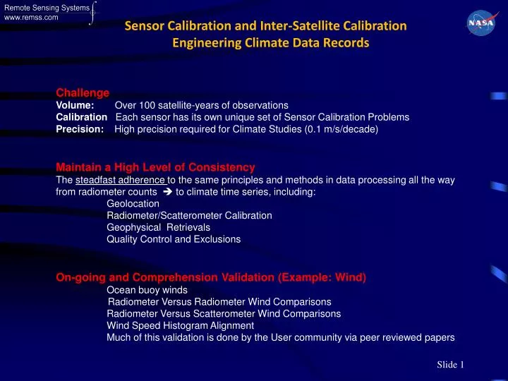
Sensor Calibration and Inter-Satellite Calibration Engineering Climate Data Records. Challenge Volume : Over 100 satellite-years of observations Calibration Each sensor has its own unique set of Sensor Calibration Problems

E N D
Sensor Calibration and Inter-Satellite Calibration Engineering Climate Data Records Challenge Volume: Over 100 satellite-years of observations Calibration Each sensor has its own unique set of Sensor Calibration Problems Precision: High precision required for Climate Studies (0.1 m/s/decade) Maintain a High Level of Consistency The steadfast adherence to the same principles and methods in data processing all the way from radiometer counts to climate time series, including: Geolocation Radiometer/Scatterometer Calibration Geophysical Retrievals Quality Control and Exclusions On-going and Comprehension Validation (Example: Wind) Ocean buoy winds Radiometer Versus Radiometer Wind Comparisons Radiometer Versus Scatterometer Wind Comparisons Wind Speed Histogram Alignment Much of this validation is done by the User community via peer reviewed papers
35-Years of Microwave Earth Observations • GCOM-W and GCOM-W2 Continues the Advancement
Engineering Climate Data Records Validation EP Adjustments (i.e., clear sky bias, high vapor bias) Geophysical Retrievals Automatic Retrieval Algorithm Radiative Transfer Model Simulated Antenna Temperatures Cycle Time ≈ ½ Year Sensor Adjustments Calibration RTM Adjustments Sensor Antenna Temperatures • Start with Satellite Radiometer Counts • Use same RTM for calibrating all satellites • Use RTM-1for same retrieval algorithm for all satellites