Download
1 / 11
200 likes | 529 Views
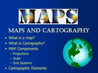
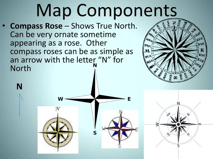
Map Components. Compass Rose – Shows True North. Can be very ornate sometime appearing as a rose. Other compass roses can be as simple as an arrow with the letter “N” for North . N. IS THIS MAP WRONG?. Legends / Keys – are symbols used to explain the multiple features of a map.

E N D
Map Components • Compass Rose – Shows True North. Can be very ornate sometime appearing as a rose. Other compass roses can be as simple as an arrow with the letter “N” for North N
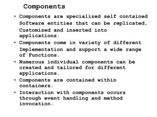
Legends / Keys – are symbols used to explain the multiple features of a map.
Scale – Converts comparative distance from actual measurement to one corresponding the much smaller map. Scales will often show distance converting miles and kilometers (KM).
Latitude – (Also called PARALLELS) are imaginary lines on a map going east and west. These lines are used for measuring distances NORTH and SOUTH of the EQUATOR. These lines measure 90 degrees north and south of the equator (there are 180 degrees total). Arctic Circle 661/2 Tropic of Cancer 23 1/2 Equator 0 degrees Tropic of Capricorn 23 1/2 Antarctic Circle 66 1/2
Longitude – (Also called Meridians) are imaginary lines on a map passing through the north and south poles. These lines are used for measuring distances EAST and WEST of the PRIME MERIDIAN. These lines measure 180 degrees west and east of the Primer Meridian (there are 360 degrees total).
Grid System – series of intersecting lines of Latitude and Longitude on a map used for plotting Absolute Location.
Hemisphere – divides the Earth into two halves. The Prime Meridian divides the Earth into a Eastern and Western hemisphere and the Equator divides the Earth into a Northern and Southern hemisphere.