Download
1 / 41
410 likes | 492 Views
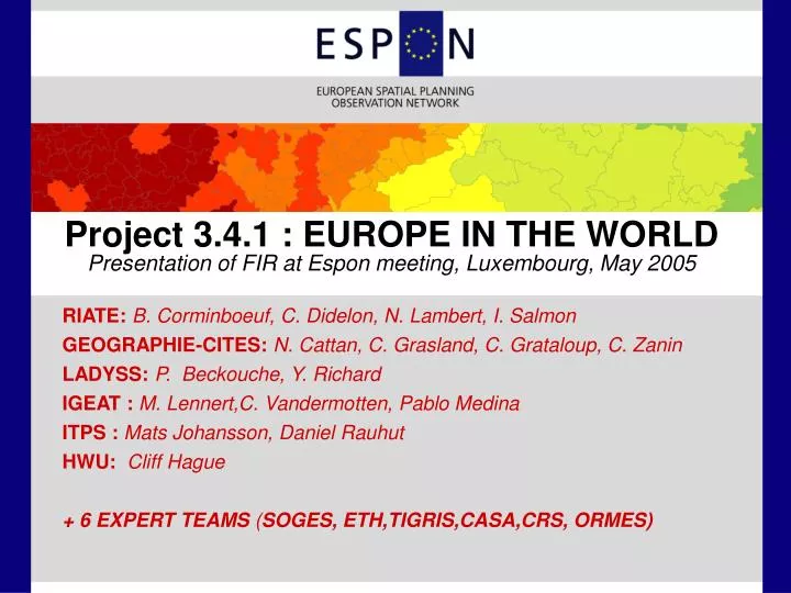
RIATE: B. Corminboeuf, C. Didelon, N. Lambert, I. Salmon GEOGRAPHIE-CITES: N. Cattan, C. Grasland, C. Grataloup, C. Zanin LADYSS: P. Beckouche, Y. Richard IGEAT : M. Lennert,C. Vandermotten, Pablo Medina ITPS : Mats Johansson, Daniel Rauhut HWU: Cliff Hague

E N D
RIATE: B. Corminboeuf, C. Didelon, N. Lambert, I. Salmon GEOGRAPHIE-CITES: N. Cattan, C. Grasland, C. Grataloup, C. Zanin LADYSS: P. Beckouche, Y. Richard IGEAT : M. Lennert,C. Vandermotten, Pablo Medina ITPS : Mats Johansson, Daniel Rauhut HWU: Cliff Hague + 6 EXPERT TEAMS (SOGES, ETH,TIGRIS,CASA,CRS, ORMES) Project 3.4.1 : EUROPE IN THE WORLDPresentation of FIR at Espon meeting, Luxembourg, May 2005
« GROUNDING GLOBALISATION » I. Organisation of the project II. Scale Problems III. Cartographic Templates IV. Preliminary Results V. Next step : 4 Key questions
II. SCALE, SCALE, SCALE ... The introduction of a 4th dimension (global) in ESPON 3-level approach implies a cross-reflexion on : • Geographical Scale (G-Scale) • Historical Scale (T-Scale) • Political Scale (P-Scale)
II.1 GEOGRAPHICAL SCALE G=0 to 1 « Global » G=1 to 2 « Large » G=2 to 3 « Medium » G=3 to 4 « Small »
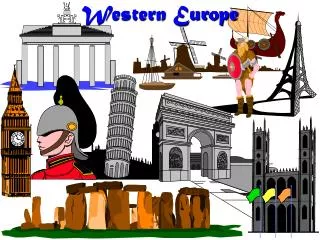
II.2 TIME SCALE T0= Very Short 1-2 years T1= Short 2-5 years T2 = Medium 5-15 years T3 = Long 15-40 Years T4 = Very Long > 40 years Exemple : Benchmarking of the evolution of GDP in the neighbourhood of Western Europe Source : Maddisson – OECD, 2003
II.2 TIME SCALE T0= Very Short 1-2 years T1= Short 2-5 years T2 = Medium 5-15 years T3 = Long 15-40 Years T4 = Very Long > 40 years
II.2 TIME SCALE T0= Very Short 1-2 years T1= Short 2-5 years T2 = Medium 5-15 years T3 = Long 15-40 Years T4 = Very Long > 40 years
II.2. TIME SCALE T0= Very Short 1-2 years T1= Short 2-5 years T2 = Medium 5-15 years T3 = Long 15-40 Years T4 = Very Long > 40 years
II.2 TIME SCALE T0= Very Short 1-2 years T1= Short 2-5 years T2 = Medium 5-15 years T3 = Long 15-40 Years T4 = Very Long > 40 years
II.2 TIME SCALE T0= Very Short 1-2 years T1= Short 2-5 years T2 = Medium 5-15 years T3 = Long 15-40 Years T4 = Very Long > 40 years
II.3 POLITICAL SCALE THE DEFINITION OF TIME SCALE is related to THE DEFINITION OF GEOGRAPHICAL SCALE and both scales defines THE LEVEL OF POLITICAL INFLUENCE IN THE WORLD
II.3 POLITICAL SCALE Classical levels of political organisation are very heterogeneous in terms of size :
II.3 POLITICAL SCALE An alternative classification could be based on the scales of political action (G + T)
III. CARTOGRAPHIC TEMPLATES Template 1 “ESPON Space” Template 2 “European Neighbourhood” Template 3 “Europe in the World » Template 4 ”The World in Europe » The choice of cartographic templates is very important from scientific, political and symbolic points of view. A map is never innocent ...
III. CARTOGRAPHIC TEMPLATES Template 1 “ESPON Space” Template 2 “European Neighbourhood” Template 3 “Europe in the World » Template 4 ”The World in Europe »
III. CARTOGRAPHIC TEMPLATES Template 1 “ESPON Space” Template 2 “European Neighbourhood” Template 3 “Europe in the World » Template 4 ”The World in Europe »
III. CARTOGRAPHIC TEMPLATES Template 1 “ESPON Space” Template 2 “European Neighbourhood” Template 3 “Europe in the World » Template 4 ”The World in Europe » The precise definition of the european neighbourhood will be a result of the analysis developped in the project ESPON 3.4.1 on spatial structures ...
III. CARTOGRAPHIC TEMPLATES Template 1 “ESPON Space” Template 2 “European Neighbourhood” Template 3 “Europe in the World » Template 4 ”The World in Europe » ... and spatial interactions.
III. CARTOGRAPHIC TEMPLATES Template 1 “ESPON Space” Template 2 “European Neighbourhood” Template 3 “Europe in the World » Template 4 ”The World in Europe » ... therefore it is better to use a larger rather than smaller definition in the beginning of the research.
III. CARTOGRAPHIC TEMPLATES Template 1 “ESPON Space” Template 2 “European Neighbourhood” Template 3 “Europe in the World » Template 4 ”The World in Europe » The « ESPON Style » is of course maintained in the new template.
III. CARTOGRAPHIC TEMPLATES Template 1 “ESPON Space” Template 2 “European Neighbourhood” Template 3 “Europe in the World » Template 4 ”The World in Europe » Following previous researchs developped in ESPON 3.1, we propose a polar equidistant projection which deliver the message of « a polycentric Europe in a polycentric World » ...
III. CARTOGRAPHIC TEMPLATES Template 1 “ESPON Space” Template 2 “European Neighbourhood” Template 3 “Europe in the World » Template 4 ”The World in Europe » ... keeping always the « ESPON Style ».
III. CARTOGRAPHIC TEMPLATES Template 1 “ESPON Space” Template 2 “European Neighbourhood” Template 3 “Europe in the World » Template 4 ”The World in Europe » The most difficult problem is to realise maps of internal differenciation of Europe according to connexions and flows with the rest of the World
III. CARTOGRAPHIC TEMPLATES Template 1 “ESPON Space” Template 2 “European Neighbourhood” Template 3 “Europe in the World » Template 4 ”The World in Europe » Template 3 does not fulfill this objective ...
III. CARTOGRAPHIC TEMPLATES Template 1 “ESPON Space” Template 2 “European Neighbourhood” Template 3 “Europe in the World » Template 4 ”The World in Europe » ... and we try to elaborate a specific template 4 for the analysis of flows linking Europe and the World
IV. PRELIMINARY RESULTS The Maddisson Database Demographic Trends Economic Trends Synthetic Typology Political Consequences The « Maddisson Database » time period : 1950 to 2001 spatial units : 168 States variables : GDP & Population Source : OECD, Angus Maddisson website
IV. PRELIMINARY RESULTS The Maddisson Database Demographic Trends Economic Trends Synthetic Typology Political Consequences
IV. PRELIMINARY RESULTS The Maddisson Database Demographic Trends Economic Trends Synthetic Typology Political Consequences
IV. PRELIMINARY RESULTS The Maddisson Database Demographic Trends Economic Trends Synthetic Typology Political Consequences
IV. PRELIMINARY RESULTS The Maddisson Database Demographic Trends Economic Trends Synthetic Typology Political Consequences
IV. PRELIMINARY RESULTS The Maddisson Database Demographic Trends Economic Trends Synthetic Typology Political Consequences
IV. PRELIMINARY RESULTS The Maddisson Database Demographic Trends Economic Trends Synthetic Typology Political Consequences
IV. PRELIMINARY RESULTS The Maddisson Database Demographic Trends Economic Trends Synthetic Typology Political Consequences DEMOGRAPHIC SIZE OF EU / WORLD
IV. PRELIMINARY RESULTS The Maddisson Database Demographic Trends Economic Trends Synthetic Typology Political Consequences ECONOMIC SIZE OF EU / WORLD
V. NEXT STEP : 4 KEY QUESTIONS KQ1 :Delimitation of World Regions KQ2 : Networking Europe KQ3: European Neighbourhood KQ4 : Internal differrenciation of EU territory according to globalisation
V. NEXT STEP : 4 KEY QUESTIONS KQ1 :Delimitation of World Regions KQ2 : Networking Europe KQ3: European Neighbourhood KQ4 : Internal differrenciation of EU territory according to globalisation
V. NEXT STEP : 4 KEY QUESTIONS KQ1 :Delimitation of World Regions KQ2 : Networking Europe KQ3: European Neighbourhood KQ4 : Internal differrenciation of EU territory according to globalisation
V. NEXT STEP : 4 KEY QUESTIONS KQ1 :Delimitation of World Regions KQ2 : Networking Europe KQ3: European Neighbourhood KQ4 : Internal differrenciation of EU territory according to globalisation PRELIMINARY TYPOLOGY A) Global world metropolitan regions B) Intra-EU relay or second-level metropolitan regions C) Central regions theoretically benefiting from the globalisation D) Central regions endangered by the globalisation E) Peripheral regions benefiting from the globalisation F) Intra-EU disconnected or losing regions