Download

1 / 0
0 likes | 110 Views
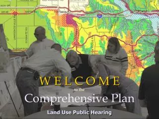
In today’s lesson: Understand the key characteristics of aid and insurance (risk spreading) and land-use zoning (planning). Give examples of where these strategies have been used as a response to the risk of our named hazard events (before, during and after they occurred).

E N D