Download
1 / 38
380 likes | 529 Views
Aviation and Weather. CDR Robert L. Calhoun, USN. Aircraft and Ships. The Orion. USS Eisenhower. The Turbomentor. The Skyhawk. Desert to Tropics. Suez Canal. Canal Zone, Panama. Hot to Cold. Hot to Cold. Andøya, Norway. Andoya, Norway. Negev Desert, Israel. Thule, Greenland.

E N D
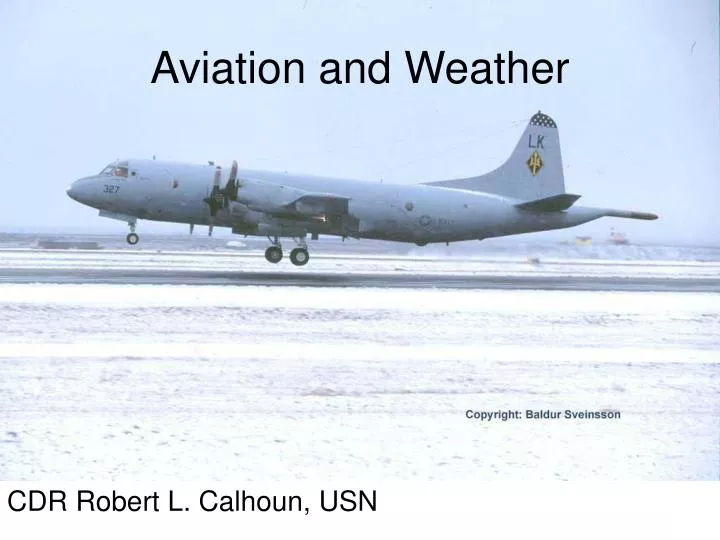
Aviation and Weather CDR Robert L. Calhoun, USN
Aircraft and Ships The Orion USS Eisenhower The Turbomentor The Skyhawk
Desert to Tropics Suez Canal Canal Zone, Panama
Hot to Cold Hot to Cold Andøya, Norway Andoya, Norway Negev Desert, Israel Thule, Greenland
Calm and Stormy Seas North Atlantic Eastern Pacific
Glaciers and Volcanoes Vatnajokull, Iceland Mt Aetna, Sicily
Hazards http://www.stormchaser.ca/Lightning/Lightning_Archive/Luke%20AFB%20Lightning.html http://www.mountainflying.com/Photos%20Other/Wave-Knapp.jpg
Earth-Atmosphere Energy Balance Diagram http://www.srh.weather.gov/jetstream/atmos/energy_balance.htm
Hydrologic Cycle Diagram http://www.srh.weather.gov/jetstream/atmos/hydro_cycle.htm
Seasons http://www.srh.weather.gov/jetstream/global/global_intro.htm
Circulation http://www.srh.weather.gov/jetstream/global/circ.htm
Lifting http://www.srh.weather.gov/jetstream/synoptic/precip.htm
More Lifting http://www.srh.weather.gov/jetstream/synoptic/airmass.htm
Cirro-form Cloud Types Nimbo-form Cumulo-form Strato-form http://www.srh.weather.gov/jetstream/synoptic/clouds.htm
What’s a TAF? • KAUS 071720Z 071818 17014G22KT P6SM SCT025 BKN035 FM2000 16015KT P6SM SCT050 SCT250 FM0600 17011KT P6SM OVC025 FM1100 18009KT 5SM BR OVC009 FM1500 17015G25KT P6SM BKN025
The Code ObscurationBR Mist (Foggy conditions with visibilities greater than 5/8 statute mile) FG Fog (visibility 5/8 statute mile or less) FU Smoke DU Dust SA Sand HZ Haze PY Spray VA Volcanic Ash PrecipitationDZ Drizzle RA Rain SN Snow SG Snow Grains IC Ice Crystals PE Ice Pellets GR Hail GS Small Hail or Snow Pellets (less than 1/4 inch in diameter) http://whitts.alioth.net/Paged8Reading%20Terminal%20Area%20Forecasts.htm
Instrument Approach http://flyawaysimulation.com/modules.php?op=modload&name=My_eGallery&file=index&do=showpic&gid=10&pid=4488&orderby=hitsD
Quiz Keflavik, Iceland Lajes, Azores