Download
1 / 8
80 likes | 232 Views
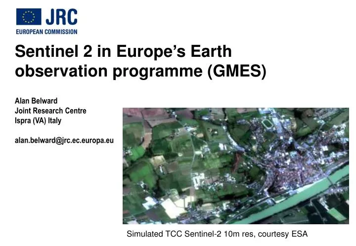
Sentinel 2 in Europe ’ s Earth observation programme (GMES) Alan Belward Joint Research Centre Ispra (VA) Italy alan.belward@jrc.ec.europa.eu. Simulated TCC Sentinel-2 10m res, courtesy ESA. Funding framework agreed.

E N D
Sentinel 2 in Europe’s Earth observation programme (GMES) Alan Belward Joint Research Centre Ispra (VA) Italy alan.belward@jrc.ec.europa.eu Simulated TCC Sentinel-2 10m res, courtesy ESA
Funding framework agreed • Europe’s Earth Observation Programme (GMES)* was adopted 9th November 2010 • A joint initiative of the European Union and the European Space Agency • This includes both spacecraft (Sentinels) and services (the GMES Initial Operations) • A land service is part of the initial operations • GMES is the main space contribution of the European Union to tackle climate change** *COM(2009) 223; The European Earth Observation Programme (GMES) and its Initial Operations **COM(2010) 614; An Integrated Industrial Policy for the Globalisation Era
An operational EO Programme • Overall framework • space component (ESA coordination) • in-situ component (EEA coordination) • service component (EC coordination) • land, marine, atmosphere, emergency response, climate change, security • Funding leading up to the regulation • 2003 – 2006 the EU and ESA spent €100m each on GMES projects • 2007 – 2013 the EU budgeted €430m for GMES project work • 2007 – 2013 the EU contributed €624m to the total ESA GMES space component budget of €2246m • Funding for GMES Initial Operations (GIO) • 2011 – 2013 the EU has allocated €107m to the implementation of the Regulation • 2011 – 2013 the EU has redeployed an additional €43m from the research budget Sentinel 1 (C-band SAR) a and b €2.9bn Sentinel 2 (13 channel MSI) a and b €150m Sentinel 3 (21 channel OLCI) a and b Images courtesy of ESA
10 m 20 m 60 m Sentinel 2 simulations (Courtesy ESA) Sentinel 2 bands (courtesy ESA)
S2 product line • 290 km swath, 5 day revisit when both satellites are in operation • L1c standard product; orthorectified ToA reflectance (+ parameters for reflectance to radiance conversion) 100 by 100 km tiles • 2.4 TB on board storage and 4 ground receiving stations = all land and coastal water areas should be acquired • Free and open access data policy almost finalised
GMES ‘Regulation’ adopted 9th November 2010 • “The GMES services will allow policy-makers in particular to: • prepare national, European and international legislation on environmental matters, including climate change; • monitor implementation of this legislation; • “GMES is a tool for cooperation linked to development, humanitarian aid and emergency situations worldwide and, more specifically, with Africa”
Land monitoring service • Reference data: basic geographic framework • Local component: 1 m resolution mapping of Urban Areas (2011-2012) and extension to other ‘hot spots’ e.g. Biodiversity protection sites • Pan-European component: Land Use / Cover Area mapping at 10 m resolution • Global component: the terrestrial essential climate variables, modelling and ‘hot spots’ small water bodies http://bioval.jrc.ec.europa.eu/EMMA/emma/index.php Urban atlas (Dublin) http://www.land.eu/portal/ Corine http://www.land.eu/portal/
Mission Advisory Group met 22nd November 2010 • Open questions: • atmospheric corrections schemes for use in S2 L2a product development • preferences for DEM – and GCPs • advice on priority ground test sites that S2 should use for vicarious calibration • desirability for integrating sphere intercomparison with transfer radiometers? • links with ‘Sentinel North’ (CCRS Richard Fernandes)?