Download
1 / 65
670 likes | 834 Views
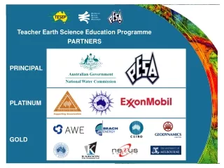
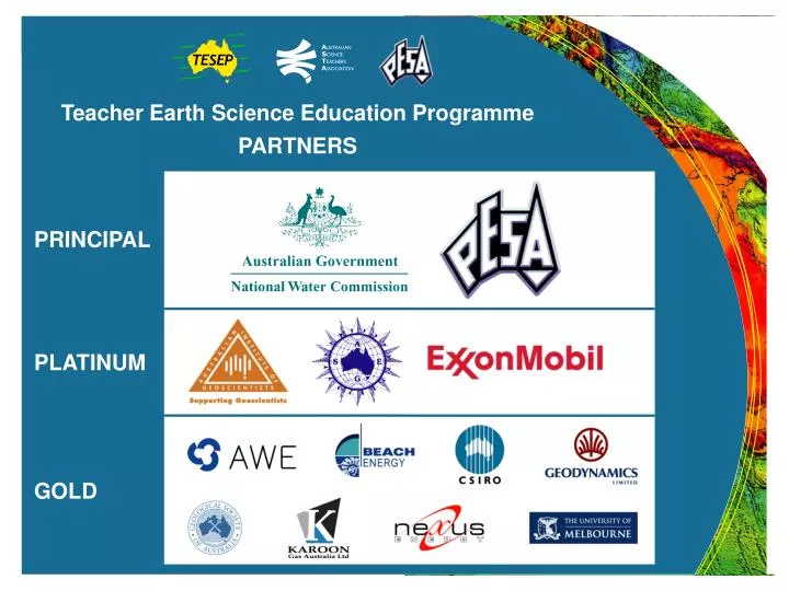
Teacher Earth Science Education Programme PARTNERS. PRINCIPAL. PLATINUM. GOLD. Teacher Earth Science Education Programme PARTNERS. Teacher Earth Science Education Programme PARTNERS. SILVER The Australian National University Department of Primary Industries, Vic

E N D
Teacher Earth Science Education Programme PARTNERS PRINCIPAL PLATINUM GOLD
Teacher Earth Science Education Programme PARTNERS Teacher Earth Science Education Programme PARTNERS • SILVER • The Australian National University • Department of Primary Industries, Vic • Earth Science Western Australia • Pitney Bowes Business Insight • PowerWorks • Queensland Resources Council • Rob Kirk Consultants • The University of Sydney • The University of Tasmania BRONZE • Anglo Coal • Australian Nuclear Science and Technology Organisation • CS Energy • Department of Sustainability and Environment, Vic • Essential Petroleum • Flinders University • Gordon Wakelin King • Great Artesian Basin Coordinating Committee • Hot Dry Rocks • Macquarie University • Sandy Menpes • Monash Energy • Museum Victoria • Our Water Our Future, Vic • Petroleum Geo-Services • Primary Industries and Resources SA • Stanwell Corporation • Velseis • ZeroGen
Teacher Earth Science Education Programme Wet Rocks – Learning about Groundwater Presenter Affiliation
Wet Rocks • Overview of groundwater • Basics of groundwater • Management of groundwater resources • Management as an integrated resource with surface water • Management of groundwater as a hazard
World Groundwater Resources Source: http://www.whymap.org
Importance of Groundwater to Australia Groundwater as a % of total water use (2000) Groundwater Use by Type Rural (18%) Other (1%) 72% 63% 35% Urban / Industrial (29%) Irrigation (52%) 37% 10% Groundwater Use 4986 GL Surface Water Use 19109 GL Total Volume 24095 GL 7% 11% 21% of total Australian use 4% Source: Google Maps National Land and Water Resources Audit (2000)
Flow time: Hours to years Flow time: Years to millennia Groundwater Dynamics
How does groundwater flow? • Are there “underground rivers”? • How does water flow through rock and soil? • Does groundwater flow “downhill”? • How long does it take for groundwater to flow? • How do you get it out?
Porosity and Permeability Porosity = the gaps between the soil and rock particles Permeability = how well the gaps are connected to allow water to move between them
“Contours” of the groundwater surface “Gradient” of the groundwater surface 3m 2.5m 3m 3m 1.5m 2m 2m 1m 1m “Head” elevation Bores measure the head elevation at specific points “Map” View “Block” View Flowing water underground Groundwater flows from the higher “head” to the lower “head” – the hydraulic head of the system.
Aquifers and Aquitards • Aquifer: A layer of soil or rock that has relatively higher porosity and permeability than the surrounding layers, enabling usable quantities of water to be extracted. • Aquitard: A layer of soil or rock that has relatively lower porosity and/or permeability than the surrounding layers, limiting the movement of groundwater through it and the capacity to extract useable quantities of water.
Confined and Unconfined Aquifers Unconfined: Surface of the groundwater (the watertable) is at the same pressure as the atmosphere. Confined: The “surface” of the groundwater is constrained by an aquitard. It is under pressure. If the aquifer is tapped, the water level will rise up in response to the pressure. The distribution of pressure is called the potentiometric surface. Confined zone
Multi-Aquifer Systems Source: Groundwater Notes, Department of Sustainability and Environment, Victoria http://www.ourwater.vic.gov.au
Scale of groundwater systems • Local systems – recharge and discharge areas within 5km of each other • Intermediate system – recharge and discharge areas within 50km of each other • Regional system - recharge and discharge areas grater than 50km of each other
Water entering the soil Water used from the soil Soil storage (unsaturated zone) Recharge Change in saturated zone storage Aquifer through-flow Groundwater Pumping Groundwater Dynamics – Unconfined Aquifers
waterways • flooding • water supply • irrigation Plant use Soil Evaporation • land-use Pumping Rainfall Infiltration Discharge to the Environment Recharge Out-flow In-flow Groundwater System Dynamics – Unconfined Aquifer
Rainfall variability Cumulative rainfall residual Rising trend Falling trend Falling trend
Unsaturated Zone Storage Soil Moisture Depth
Water entering the soil Water used from the soil Soil storage (unsaturated zone) Recharge Aquifer through-flow Groundwater Pumping Groundwater Dynamics – Unconfined Aquifers Change in saturated zone storage
Groundwater Pumping Takes water from storage by reducing level or pressure. Changes flow patterns Changes recharge / discharge relationships
waterways • flooding • water supply • irrigation Plant use Soil Evaporation • land-use Pumping Rainfall Infiltration Discharge to the Environment Recharge Out-flow In-flow Environment as a water user
Groundwater and Waterways Gaining during low flow, losing during high flow. Gaining stream Connected losing stream (loss varies with difference in level between river and groundwater) Disconnected stream (rate of loss more or less constant) Source: http://www.connectedwater.gov.au/processes
Groundwater use affects surface water and environment Source: http://www.connectedwater.gov.au/processes
Groundwater/surface water“connectivity” Example: Goulburn Broken catchment “Losing streams” – surface water recharging groundwater “Gaining streams” – groundwater base flow to surface water Seasonally variable Not connected Source: CSIRO Sustainable Yields Project http://www.csiro.au/files/files/pkgb.pdf
Groundwater Management Basics Rainfall Land use (forest, agriculture, urban) Water entering the soil Water used from the soil Soil storage (unsaturated zone) Recharge Change in saturated zone storage (groundwater levels) Groundwater Pumping Aquifer through-flow Discharge (waterways, ocean, land)
Managing groundwater – as a resource • Sustainable yield is inherently intergenerational because it implies resource use in ways that are compatible with maintaining them for future generations. • Proposed National definition (2002): ”The groundwater extraction regime, measured over a specified planning timeframe, that allows acceptable levels of stress and protects the higher value uses that have a dependency on the water.”
Sustainable Yield – a dynamic concept • Sustainability and SY are dynamic concepts that will continue to be refined • The challenge is to turn the principles of sustainability and groundwater sustainable yield into achievable policies and then practice. • Science alone cannot choose the correct interpretations for society but any interpretation must be based on sound hydrologic analysis and understanding, and community involvement.
Hydraulic Properties Sustainable yield for an aquifer Recharge B A B A • What are the elements of defining SY? • Annual aggregate abstraction volume • provision for groundwater dependent ecosystems • time element • social/economic aspects
Discharge Volume Leakage impacts on water quality Well hydraulics Sustainable yield (cont) A B
Hydraulic Properties Management zone Wetland / Waterway Protection Recharge B A B A
(a) Prior to development (b) With clearing and development Note: Historical “salt” refers to concentrated solute Dryland salinity management a b • Impact: • 2.5MHa of cultivated land (5%) affected by salinity • 5.7MHa has immediate potential to be affected by salinity
Salinity in a catchment B Recharge A Hydraulic Properties B A Trade off in land-use can affect viability of the land and adjacent areas Requires LARGE SCALE CONTROLS eg dewatering and interceptor networks, evaporation basins, stream regulation
Dewatering bores In-pit pump Watertable reduced for stability and to provide safe operating conditions Managing groundwater for construction Mine or Building Basement / Foundation
Saline intrusion into fresh aquifers Saline lake or the sea Sea / lake level
Key management principles… • Regardless of the key issue for management, the same key elements of the water cycle apply – it is how you use them to achieve your objective that differs. • Groundwater systems are complex natural systems – the response to your management action is not always what you may expect. Always think of the range of potential outcomes. • Scale matters – there is a much greater likelihood of interacting with local systems in observable timeframes than with a regional system.
Threats of pollution on groundwater The many sources of contamination to groundwater
Point Source and Diffuse Sources • Point source (localised) eg. • Leaking tanks • Spills • Landfills • Tar pits • Diffuse source • Agricultural chemical application (fertilizers / pesticides) • Large scale mining
Point source 1: BOD - biological oxygen demand 2: COD – chemical oxygen demand
C C C C0 C0 C0 Advective processes, concentrations – single point source Single point source t1 t2 t3 1 t1 0 1 t2 0 1 t3 0 Distance (x)
C C0 Concentrations – continuous point source Continuous point source t1 t2 t3 At t2 1 0 Distance (x) Distance (x)
Longitudinal Transverse Mechanical Dispersion Dispersivity is a function of the porous media
C C0 Dispersion of the solute Continuous point source Transverse (t) Longitudinal (l) At t2 Results in spreading of the front 1 0 Distance (x)