Download
1 / 19
300 likes | 536 Views
Site Selection Making Spatial Decisions Using GIS. Why would I use Site Selection Tools?. Decide on an appropriate location for a new building Uncover areas of risk for geologic hazards Pinpoint areas for development Establish safe zones for habitation. Add Layers of Data to GIS. Census

E N D
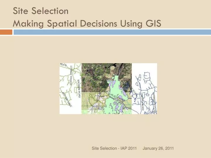
Site Selection Making Spatial Decisions Using GIS Site Selection - IAP 2011
Why would I use Site Selection Tools? • Decide on an appropriate location for a new building • Uncover areas of risk for geologic hazards • Pinpoint areas for development • Establish safe zones for habitation Site Selection - IAP 2011
Add Layers of Data to GIS • Census • Infrastructure • Environmental Analyze Layers Together Site Selection - IAP 2011
Keep in mind… Data issues in vector processing • Complex world, simplified data • Real world becomes vector data (as points, lines and polygons) • You choose which data to use, and how to represent it. Site Selection - IAP 2011
Selection of features for use in a GIS • Only details of interest to the creator are stored in the data. • Metadata: who made the data and why you should use it, or not! Site Selection - IAP 2011
Representation of data • Tied to scale and data type • City as point or polygon? • Vector objects in a GIS have defined boundaries, unlike nature (transition in forests) Site Selection - IAP 2011
Overlay operations in a GIS • Origins in Landscape Planning • Set theory – polygons represent sets, overlay represents intersects, unions and symmetrical difference Site Selection - IAP 2011
Some Analysis Tools: • Clip • Buffer • Union • Symmetrical Difference • Spatial Join • Add XY Data Site Selection - IAP 2011
Clip Site Selection - IAP 2011
Buffer Site Selection - IAP 2011
Union Site Selection - IAP 2011
Intersect Site Selection - IAP 2011
Symmetrical Difference Site Selection - IAP 2011
Spatial Join Point in polygon operation – which points are in the Polygon? Polygon ID (id_1) is added to the point layer’s attribute table. Site Selection - IAP 2011
Add XY Data Site Selection - IAP 2011
Things to consider: • Vector data processing is CPU intensive. • Inaccurate data in inaccurate data out Site Selection - IAP 2011
Our project: Find a building location for a visitor’s center at Great Meadows Wildlife Refuge in Bedford, Carlisle and Concord, MA Site Selection - IAP 2011