Download
1 / 7
70 likes | 180 Views
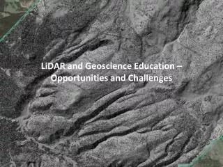
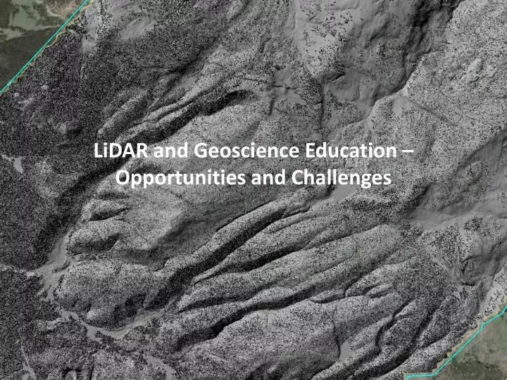
LiDAR and Geoscience Education – Opportunities and Challenges . Data exploration activity. Go to http://opentopography.org/kml Download NoCal , SoCal and ISB KMZ files

E N D
LiDAR andGeoscience Education – Opportunities and Challenges
Data exploration activity • Go to http://opentopography.org/kml • Download NoCal, SoCal and ISB KMZ files • Goal: locate features depicted in LiDAR images that could be used to illustrate the earth science topics / literacy goals outlined.
FIND (one or two examples): • Earth as a system of which humans are a significant part: • Human induced landscape change • Roadcuts, developments, agriculture, • Humans living in areas of high hazard • Humans attempting to control nature / hazards • Geometry and processes of fluvial systems and hillslopes: • Hillslope processes in action (landslides etc.) • Temperate fluvial system • Desert fluvial system • Differences? • Manifestation of plate tectonics along faults at and near plate boundaries, earthquake cycle, earthquakes recorded in landscape: • Find a fault • How do you know? • Type of offset?