Download
1 / 18
190 likes | 477 Views
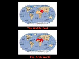
GIS and SDI in the Middle East. Map Middle East 2005 23-25 April 2005. Two Sub-Topics. GIS Implementations in the Middle East Spatial Data Infrastructure (SDI) Initiatives in the Middle East Are they mutually exclusive?. What is SDI?.

E N D
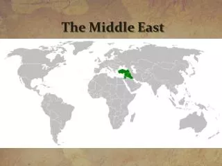
GIS and SDI in the Middle East Map Middle East 2005 23-25 April 2005
Two Sub-Topics • GIS Implementations in the Middle East • Spatial Data Infrastructure (SDI) Initiatives in the Middle East • Are they mutually exclusive?
What is SDI? • An Infrastructure that enables end users to locate and consume geo-spatial information with the ability to determine its fitness for use
A Little Bit of History • The first Societal GIS • The first operational SDI • A lot has changed in the last decade • However, many issues (non-technology related) remain the same • Coordination • Cooperation • Communication
Qatar Wins 1992 URISA Award for“Exemplary Systems in Government”
Goal Make Spatial Data and Services as easily available as physical infrastructure services.
Organization Setup Standards Information Infrastructure Database Creation Database Linking Qatar GIS Road Map
The Underpinnings… • Make everybody aware of GIS • Seek support from the highest levels of government • Seek support from every government Department • Establish National Standards for GIS implementation • Involve every government department in design and implementation
National GIS Steering Committee • AUTHORITY & RESPONSIBILITY DEFINED BY CABINET DECISION • MEMBERS ARE SENIOR (DEPUTY MINISTER OR DIRECTOR) STAFF OF EACH MINISTRY Responsibilities include Development of: • GIS Standards • GIS Training Programs • GIS Database Creation Priorities • Guidelines for data sharing
The Center for GIS Responsibilities: • Point of reference for the Steering Committee • Core (base) data for the State • National GIS standards and specifications • Inter-agency coordination hub • SDI implementation and maintenance • Technology transfer
Implementation Strategy • Complete acquisition of Core Data Set • Select small area for Pilot Project • Open offices of other ministries within the Center • Automate data of each ministry for Pilot Area • Develop some applications for Pilot Area • Help each ministry set up its own GIS unit • Move Pilot Project data to the ministry
MAIN ST. Collect Data Once MAIN ST. ELEC. QARS P.R. ENG. PRK.
+ 0.1 m - MAIN ST. + 0.1m - + 2.0 m - D.D. UNS. + 0.5 m - MAIN ST. D.D. + + + UNS. 1.5 m 0.5 m - - UNS. The Process D.D. ENG. UNS. National D.D. Library PRK. CGIS Coordinators National UNS Library ELEC. D.D. D.D. UNS. P.R. QARS
Data Dictionaries • Topographic • Drainage • Urban Planning • Roads • Electricity • Water • Police Services • Agriculture • Telecommunications • National Statistics • Real Estate • Environment • Fisheries • Education • Health
Qatar’s Information Infrastructure Geographic Information Databases of all ministries High speed network connections to all government desktops and public data kiosks Spatial Data Products Modern User Traditional User
What has changed… • Core-Data Paradigm Shift • Papers Maps Tile Based Digital Maps 3D Seamless/Scale-less Digital Databases • Data Management Technology • Filing Cabinets Digital Map Files (Tiles) RDBMS • Application Development Technology • Vendor Specific Macro Languages Industry Standard Development Tools • Client Server 3-Tier SOA (Services Oriented Architecture) • Data Dissemination Technology • Files exchange LAN/WAN Web • Open Standards • OGC e.g. GML, WMS,WFS etc. • Web Services (UDDI, SOAP etc.) • Data Security Requirements • Organizational Changes • Line Dept. Core Business Unit • Institutional Changes • Lesser Role for Traditional Mapping Organizations • Involvement of private initiatives in data collection/dissemination • Societal Involvement • Consumer demands