Download
1 / 12
120 likes | 259 Views
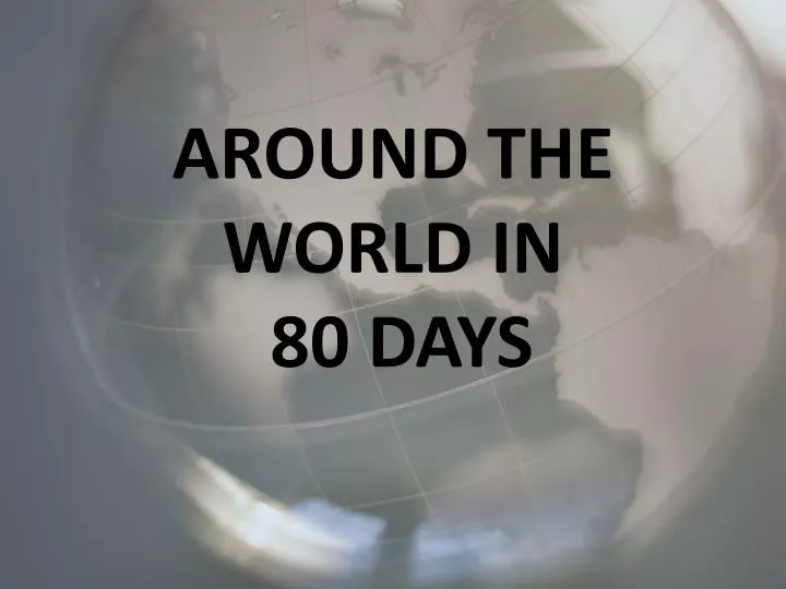
AROUND THE WORLD IN 80 DAYS. INTRODUCTION.

E N D
INTRODUCTION You have won a trip around the world. Before you can travel you must plan your trip according to specific guidelines. Use the information on the following pages to help you plan this trip. Be sure to check in with your teacher when you see this checkpoint. CHECKPOINT
Guidelines Your trip must incorporate the following criteria: • Leave from the east coast of the United States. • You must go fully around the globe and return to the east coast of the US. • You must visit one country on each of 3 different continents. • In each country you must visit two interesting sites.
Travel Journal You must create a travel journal in booklet form. This booklet should have a cover, appropriate maps and pictures, and the information outlined on the next slide.
Travel Journal The journal will include: • All checkpoint worksheets • Travel route • Maps and pictures • Means of travel and transportation details • For each country you will visit • Longitude and Latitude of cities to be visited • Money conversion • Average temperature • Sites to be visited including description and admission costs • Two things unique to each culture/country • Time differences between the east coast of the US and your location
Choose your Countries • Identify what a continent is. • Identify the seven continents and oceans of the world. • Identify 3 countries from different continents that you would like to visitand the order in which you will visit them. • Use the link below to find the information and use the World Map worksheet to record your information http://www.nationsonline.org/oneworld/continents.htm CHECKPOINT
MODES OF TRANSPORTATION • You will now need to choose how you will travel to these countries. Using the links below, find airlines, trains or buses that can help you travel to these destinations. • Complete the Transportation Chart to show the modes of travel which will include departure airport and time, arrival airport and time, miles traveled, cost for flight or other, and length of travel time. • Be sure to get a map of the countries you visit. • http://www.lonelyplanet.com/destinations • http://www.virtualfreesites.com/world.countries.html • http://www.mapcrow.info/ • http://www.phl.org/index.html • http://www.panynj.gov/airports/jfk.html • http://www.bwiairport.com/en CHECKPOINT
ATTRACTIONS • Now that you have arrived at your first destination you must choose the attractions you would like to visit. • Using the links below to choose your attractions or you may choose an attractions with which you are familiar. • Remember, you must include the attractions you want to see, the cities in which they are located, and the cost of admission. • Complete the Attraction worksheet. • http://old.eduguide.org/Parents-Library/Virtual-Field-Trip-Ideas-252.aspx • http://www.sights-and-culture.com/ • http://travel.nationalgeographic.com/travel/city-guides/ • http://www.virtualtourist.com/ CHECKPOINT
Your Country’s Currency • You need to find the currency used in your chosen country. • Use the exchange rates from the link below to determine what the cost will be in US dollars. • http://www.jhall.demon.co.uk/currency/by_country.html • http://www.fms.treas.gov/intn.html#rates CHECKPOINT
Longitude and Latitude • Explain what longitude and latitude are and how they are measured. • Determine the longitude and latitude for each of the attractions you visited. • http://mrdowling.com/601-grid.html • http://toms.gsfc.nasa.gov/teacher/latlonarchive.html CHECKPOINT
Weather • In order to determine what type of clothing you will need to pack, you will need to find the average temperature of each location. • If the temperature is given in Celsius, you will need to convert the temperature to Fahrenheit • Use the link below to help you make this conversion • http://www.fordhamprep.org/gcurran/sho/sho/lessons/lesson29.htm • CHECKPOINT
Congratulations • You have completed all the preliminary steps and now it is time to create your travel journal. This is your opportunity to be creative and find a unique way to present your findings. Remember to include pictures, maps and all the information you have collected through out your travels.