Download
1 / 18
180 likes | 339 Views
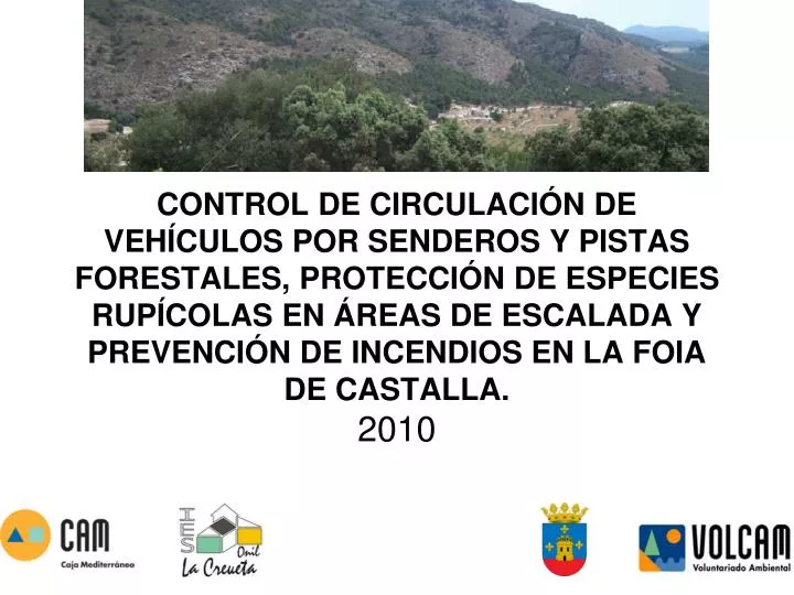
CONTROL DE CIRCULACIÓN DE VEHÍCULOS POR SENDEROS Y PISTAS FORESTALES, PROTECCIÓN DE ESPECIES RUPÍCOLAS EN ÁREAS DE ESCALADA Y PREVENCIÓN DE INCENDIOS EN LA FOIA DE CASTALLA. 2010. OBJETIVOS :. LOCALIZACIÓN ZONAS ESCALADA SELECCIÓN ITINERARIOS MTB GEORREFENCIACIÓN

E N D
CONTROL DE CIRCULACIÓN DE VEHÍCULOS POR SENDEROS Y PISTAS FORESTALES, PROTECCIÓN DE ESPECIES RUPÍCOLAS EN ÁREAS DE ESCALADA Y PREVENCIÓN DE INCENDIOS EN LA FOIA DE CASTALLA.2010
OBJETIVOS: LOCALIZACIÓN ZONAS ESCALADA SELECCIÓN ITINERARIOS MTB GEORREFENCIACIÓN FORMACIÓN ESPECÍFICA
FASE1: BÚSQUEDA DE ZONAS DE ESCALADA BÚSQUEDA DE LOS SENDEROS A RECORRER
Rutas de M.T.B. Foia de Castalla Serra Mariola Sierra de Biar Sierra de Onil Carrasqueta Maigmó
FASE 2: FORMACIÓN ESPECÍFICA DEL VOLUNTARIO ► CURSO DE EDUCACIÓN MEDIO AMBIENTAL ► CURSO DE CARTOGRAFÍA ► CURSO DE MANEJO DE G.P.S.
Documentación: ♪ Creación un dossier de cartografía ♪ Creación un dossier de uso del GPS ♪ Uso de los cuadernos VOLCAM Educación ambiental Conocimiento del Medio
FASE 3: GEORREFERENCIACIÓN DE RUTAS M.T.B. VIGILANCIA DE LAS ZONAS DE ESCALADA GESTIÓN DE LOS DATOS ► RECORRER RUTAS CON G.P.S. ► INFORMACIÓN DE LAS ZONAS ► EDICIÓN DE LOS RECORRIDOS OZIEXPLORER GOOGLE EARTH
Zonas de Escalada Visitadas Barranco de los Molinos (Ibi) Penyes Roges (Onil) Penya de la Sima (Onil) Penya del Tormo (Onil) Penyes taronges (Onil) Reconco (Onil) Sector Chau Chau (Biar) Sector Parking (Biar) Sector Solana (Biar) Peña Rubia (Villena) Zona de la Competición (Villena) Castillo de Salvatierra (Villena) Foradada (Castalla)
Rutas MTB realiazadas Sierra de la Fabanella (Onil) Sierra de Biar (Biar) Serra de Mariola (Banyeres de Mariola) Serra de la Carrasqueta (Ibi) Serra del Maigmó (Castalla)
RESULTADOS: Cursos programados y realizados: 100%
Voluntarios: Asistencia continua: 20 Asistencia esperada: 30
DIFUSIÓN: • BLOG DEL PROYECTO • Volcamonil.blogspot.com • ENVÍO DE INFORMACIÓN E-MAIL • PUBLICACIÓN INFORMACIÓN EN WEBS
“Un día de Senderismo, una semana de SALUD”