Download
1 / 32
330 likes | 431 Views
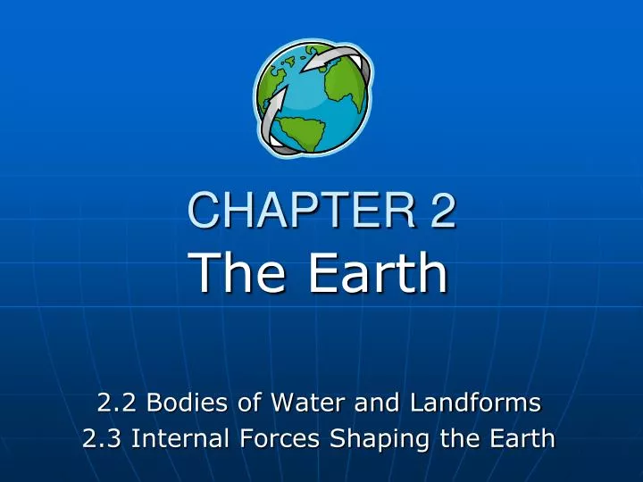
CHAPTER 2. The Earth 2.2 Bodies of Water and Landforms 2.3 Internal Forces Shaping the Earth. BODIES OF WATER AND LANDFORMS. The ocean is interconnected and covers over 70% of the earth. Divided into 4 main parts. Pacific (largest), Atlantic, Arctic and Indian. MOTION OF THE OCEAN.

E N D
CHAPTER 2 The Earth 2.2 Bodies of Water and Landforms 2.3 Internal Forces Shaping the Earth
BODIES OF WATER AND LANDFORMS • The ocean is interconnected and covers over 70% of the earth. • Divided into 4 main parts. Pacific (largest), Atlantic, Arctic and Indian
MOTION OF THE OCEAN • The ocean distributes heat. • Winds blow over the ocean and are either heated or cooled by the water, then move over the land to moderate temperature.
OCEAN MOTIONS • Currents- like rivers flowing through the ocean • Waves- swells produced by winds • Tides- regular rises and falls of the ocean created by the gravitational pull of the moon or the sun
HYDROLOGIC CYCLE • 1. Water evaporates into the atmosphere from oceans, lakes, plants, etc. • 2. Water vapor cools, condenses and falls to the earth as precipitation. • After precipitation falls, the water flows back into the bodies of water and the cycle begins again.
LAKES, RIVERS, & STREAMS • Lakes hold more than 95% of all fresh water on earth. • Rivers and streams move water to or from larger bodies of water
DRAINAGE BASIN • An area drained by a major river and it’s tributaries. • The system is like the branches of a tree. Water flows through tributaries back to the river.
LANDFORMS • Naturally formed features on the face of the earth.
Link to On Line WG interactive Landforms Illustration http://images.classwell.com/mcd_xhtml_ebooks/2002_world_geo/flash/wg05_02_34.html
Landforms • TOPOGRAPHY— • Combination of surface shapes and composition of the landform and distribution • RELIEF— • Difference in elevation from low point to high point
TYPES OF RELIEF LAND OCEANS Ridges Valleys Canyons Plains • Mountains • Hills • Plains • Plateaus
OCEANIC LANDFORMS • Continental Shelf- earth’s surface from the edge of a continent to the deep part of the ocean
INTERNAL FORCES SHAPE THE EARTH • Tectonic Plates- enormous moving pieces of the earth’s lithosphere. Studied to understand how earthquakes and volcanoes occur.
PLATE MOVEMENT BOUNDARIES • Divergent Boundary- Plates move apart, spreading horizontally. Ex. Deep Sea trenches
Convergent Boundary- Plates collide, causing one plate to dive under the other or the edges of both plates crumple Subduction – one plate is forced under the other. Ex. Where Ocean plates meet Continental plates Collision – Plates buckle & fold Ex. Two continental plates meet.
PLATE MOVEMENT BOUNDARIES • Transform Boundary- Plates slide past one another Does not create new land
Folds and Faults • Folds occur where two plates meet and cause the layers of rock to bend • Faults occur where two plates meet and cause a fracture in the earth’s crust
EARTHQUAKES • Occur when plates grind or slip past each other at a fault • Thousands occur every year but are so slight that they cannot be felt
EARTHQUAKES • Seismograph- special device used to detect earthquakes • Richter Scale- scale used to measure the amount of energy released in an earthquake (2=minor, 5=noticeable, 7.5=major quake)
EARTHQUAKES • Focus- location in the earth where an earthquake begins • Epicenter- point directly above the focus on the earth’s surface
DAMAGE • Landslides • Fires • Collapsed Buildings • Tsunami (speeds up to 450 mph and waves 100 feet tall)
VOLCANOES • Magma, gases and water from the mantle collect underground until they pour out of a crack in the earth’s surface.
VOLCANOES • Lava- magma that reaches the earth’s surface • Volcanoes may be active or inactive (dormant) for many years
RING OF FIRE • A zone around the rim of the Pacific Ocean where the vast majority of the world’s active volcanoes exist • 8 major tectonic plates meet here
Link to On Line WG Illustration of the Ring of Fire http://images.classwell.com/mcd_xhtml_ebooks/2002_world_geo/flash/wg05_02_37.html
Positive Impact of Volcanic Action Produce fertile soil Volcanic heat and steam can be tapped for energy
Building Soil • Weathering and Erosion are part of the process of forming soil. • 5 Soil Factors: • Parent material • Relief • Organisms • Climate • Time • Humus is the organic material found in soil