Download
1 / 16
160 likes | 302 Views
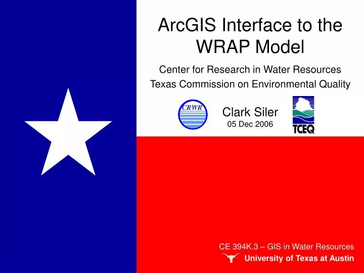
ArcGIS Interface to the WRAP Model. Center for Research in Water Resources Texas Commission on Environmental Quality Clark Siler 05 Dec 2006. CE 394K.3 – GIS in Water Resources University of Texas at Austin. Water Rights Analysis Package (WRAP).

E N D
ArcGIS Interface to the WRAP Model Center for Research in Water Resources Texas Commission on Environmental Quality Clark Siler 05 Dec 2006 CE 394K.3 – GIS in Water Resources University of Texas at Austin
Water Rights Analysis Package (WRAP) • Created by Dr. Ralph Wurbs of the Texas Water Resources Institute at Texas A&M • Used by TCEQ with WAM system • Digital management of water rights • Replaces manual map tracing method • WRAP Display tool shows results in GIS • Problems with current WRAP version
WRAP Display Tool Demonstration • Test site: Big Cypress Creek Watershed • near Mount Pleasant, TX
WRAP Display Tool Demonstration • Test site: Big Cypress Creek Watershed • near Mount Pleasant, TX
Control Points and Reservoirs Control Points Percent of Storage (July 1996, old WRAP version) Reservoirs Percent of Storage (July 1996, new WRAP version) WRAP Display Tool Demonstration
Addressing Inconsistencies • Inspect GIS attributes Old New
Addressing Inconsistencies • Examine data origins (WRAP output file)
Percent of Storage (July 1996, old WRAP version) Percent of Storage (July 1996, new WRAP version adjusted) Preliminary Rectification • Results after changing program code No change = Success!
Preliminary Rectification • Inspect GIS attributes
Looking Forward • Preprocessing may be automated • Time series graphs can be improved • Programming platform will be upgraded • Graphical user interface (GUI) will be enhanced • Elevation-Area-Capacity curves for small reservoirs will be explored CE 394K.3 – GIS in Water Resources University of Texas at Austin
Conclusion • WRAP changes affect the Display tool • Code can be modified • Subsequent results are the same • Additional features can be added CE 394K.3 – GIS in Water Resources University of Texas at Austin CE 394K.3 – GIS in Water Resources University of Texas at Austin
Time Series Graphs -Can be improved
Clark SilerGraduate StudentUniversity of Texas at Austin Geospatial Hydrology Water ResourcesCRWRBS – Brigham Young University Civil Engineeringclarksiler@mail.utexas.edu Personal Information Nov 2006