Download
1 / 10
170 likes | 758 Views
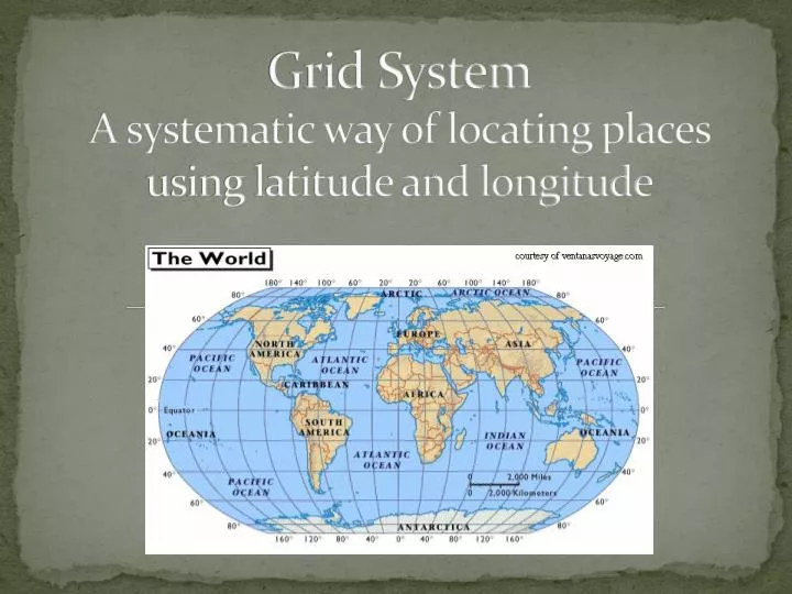
Grid System A systematic way of locating places using latitude and longitude. Paris, France. Is Paris north or south of the equator? Is Paris west or east of the prime meridian? So what hemispheres is Paris found in? Now measure up from the equator.

E N D
Grid SystemA systematic way of locating places using latitude and longitude
Paris, France • Is Paris north or south of the equator? • Is Paris west or east of the prime meridian? • So what hemispheres is Paris found in? • Now measure up from the equator. • Now measure to the right from the prime meridian. • Latitude (______° N, • Longitude ______° E) • Answer (49°N, 5°E)
Cape Town, South Africa • (33°S, 20°E)
(19°N, 100°W) • Mexico City, Mexico
(48°N, 108°E) • Ulaanbaatar, Mongolia
Antananarivo, Madagascar • (18°S, 49°E)
Moscow, Russia • (56°N, 38°E)
(54°S, 75°W) • Punta Arenas
(35°N, 117°W) • Los Angeles