Download
1 / 11
110 likes | 182 Views
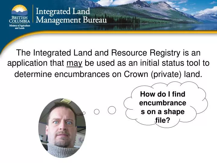
The Integrated Land and Resource Registry is an application that may be used as an initial status tool to determine encumbrances on Crown (private) land. How do I find encumbrances on a shape file?. Here are the steps to “status” an uploaded shape file: .

E N D
The Integrated Land and Resource Registry is an application that may be used as an initial status tool to determine encumbrances on Crown (private) land. How do I find encumbrances on a shape file?
Here are the steps to “status” an uploaded shape file: Step 1) In the ILRR “custom status” (I do everything in the custom status so I can save my work) select “location” – map viewer. Highlight the “map viewer” radio button and press NEXT.
Use Custom Status Location Map Viewer Next
I’ve uploaded a shape file and selected that particular polygon. Next: Click on “Accept AOI”
You can see that we’ve selected one parameter (location). Since this is our only parameter we can now “Submit” our query.
Under “Report Description, I encourage users to put a useful description especially if you are outputting the results to a Word document or PDF. In this example we will output to the screen. Click Next
Here are the results, you can click on the hyperlink to see a detailed report, go to the GATOR report or go to the FTA report. Users can also see each interest on the map, create a status report on a specific interest, or create an overlay report, which pulls various layers from the LRDW.
The query will save automatically to your account… add my account: ARMELTON… Then I will be able to view your query and create a shape file. I will then send the shape file back to your email address.
If you are totally confused after reading this you can call and we can work through a scenario together. One thing that I didn’t mention is that you can save your query to anyone with a BCeID or government ID. And you can create a notification on that saved query… this will automatically email you if the results of your query change…ie if a new tenure comes up within your AOI. Alvin Melton, Project Analyst 250-952-5303 Alvin.melton@gov.bc.ca