Download
1 / 13
130 likes | 136 Views
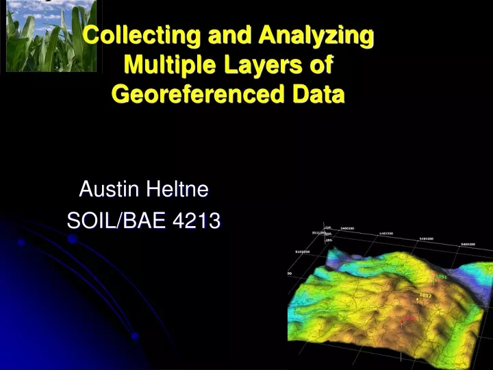
Collecting and Analyzing Multiple Layers of Georeferenced Data. Austin Heltne SOIL/BAE 4213. Introduction to GIS.

E N D
Collecting and Analyzing Multiple Layers of Georeferenced Data Austin Heltne SOIL/BAE 4213
Introduction to GIS Geographic Information System: A computer system capable of capturing, storing, analyzing, and displaying geographically referenced information; that is, data identified according to location. (http://erg.usgs.gov)
Visualization of a GIS Software Package _Representation of 3-dimensional data on a 2-dimensional surface _Georeferenced data can be imported, manipulated, analyzed, mapped, stored, etc
Use of GIS in Agriculture _Record keeping _Analysis _Standardization _Layout creation _Variable-rate recommendations _Decision making
Pros of GIS _Predominately user-defined _Integral component of modern agriculture _Automation _Ability to recognize spatial variability
Cons of GIS _Potentially steep learning curve _Cost _Resistance to change
Typical Crop Season _Soil sample/Remote sense/Veris _Tillage _Pesticide _Plant/Fertilize _Pesticide _Soil sample/Remote sense _Fertilize _Harvest
Typical Crop Season _Potential of up to 10 or more operations/layers per crop season _Importance of the operations/layer to the producer _Enter GIS _SST FarmRite Sample Mapbook
Utilization of GIS in Agriculture _Key component of “precision” agriculture _Producer/GIS Analyst _Consultants working directly with GIS Analysts
Companies Involved _SST Software, Stillwater OK _Farmworks, Hamilton IN _John Deere _MapShots, Cumming GA _AgLeader, Ames IA
Looking Forward _Widely adopted practice _What type of data is relevant to the producer _Merge of current data available _Development of new/improved practices
References _www.sstsoftware.com