Download
1 / 13
130 likes | 309 Views
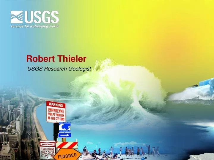
Robert Thieler. USGS Research Geologist. America’s Coastal Crisis coastal population and development are increasingly vulnerable to coastal hazards. Past, Current and Projected Sea-level Rise. (modified after Bindoff, 2007; Rahmstorf, 2007). Time Scales of Coastal Change.

E N D
Robert Thieler USGS Research Geologist
America’s Coastal Crisis coastal population and development are increasingly vulnerable to coastal hazards
Past, Current and Projected Sea-level Rise (modified after Bindoff, 2007; Rahmstorf, 2007)
Time Scales of Coastal Change Short-term Variance (hours to decade) Storm impact/recovery Annual cycles El Niño Long-term Trend (decades to centuries) Sediment deficit or surplus Sea-level rise
Coastal Vulnerability to Sea-level Rise:A Preliminary National Assessment Vulnerability Ranking
Coastal Vulnerability Studiesin the National Parks Study sites in the Contiguous U.S. Study sites in Hawaii, Alaska, and U.S. Territories Sleeping Bear Dunes NL Kenai Fjord NP Glacier Bay NPP Kaloko-Honokohau NHP NP of American Samoa Virgin Islands NP War in the Pacific NHP Cape Cod NS Fire Island NS Gateway NRA Gulf Islands NS Cape Hatteras NS Cumberland Island NS Assateague Island NS Dry Tortugas NP Padre Island NS Channel Islands NP Golden Gate NRA Point Reyes NS Olympic NP Apostle Islands NL Indiana Dunes NL
Assessments Help Managers Plan For Hazards Cape Alava Sand Point Norwegian Memorial
Eastern North Carolina Elevation source: 30-m DEM Elevation source: 3-m lidar data Dark blue: Land ≤ 1 meter in elevation Light blue: Area of uncertainty associated with 1 meter elevation
Wetland Vertical Development Mineral sediment deposition Plant matter accumulation - soil (root production/decomposition) Compaction Shrink-Swell Coastal Wetlands Respond Dynamically to Environmental Change R. Carlson D. Cahoon D. Cahoon
Mid-Atlantic Assessment of Potential Dynamic Coastal Responses to Sea-level Rise Bluff erosion Overwash Island Breaching Threshold Crossing (Gutierrez et al., 2007)
USGS North Carolina Coastal Geology Cooperative Program Oregon Inlet A regional, multi-collaborator effort to understand and predict coastal change and hazards Cape Hatteras Cape Lookout (NASA photo)
Coastal Erosion Hotspots and Geology are Related Kitty Hawk Bay Paleo-Roanoke River ChannelPasses Under Kitty Hawk