Download
1 / 19
190 likes | 337 Views
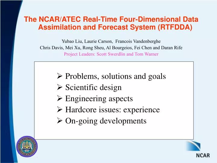
The NCAR/ATEC Real-Time Four-Dimensional Data Assimilation and Forecast System (RTFDDA) Yubao Liu, Laurie Carson, Francois Vandenberghe Chris Davis, Mei Xu, Rong Sheu, Al Bourgeios, Fei Chen and Daran Rife Project Leaders: Scott Swerdlin and Tom Warner. Problems, solutions and goals

E N D
The NCAR/ATEC Real-Time Four-Dimensional Data Assimilation and Forecast System (RTFDDA) Yubao Liu, Laurie Carson, Francois Vandenberghe Chris Davis, Mei Xu, Rong Sheu, Al Bourgeios, Fei Chen and Daran Rife Project Leaders: Scott Swerdlin and Tom Warner • Problems, solutions and goals • Scientific design • Engineering aspects • Hardcoreissues: experience • On-going developments
Issues for Mesoscale Analysis and Forecast • Local circulations are complicated • Large-scale forcing and multiscale interaction • Local terrain forcing • Contrasts in surface heating/cooling • Land-soil moisture and thermal properties • Data are sparse and irregular in space and time and they are not sufficient to describe the structures of local-scale circulations. • A full-physics mesoscale model with accurate local forcing + use of all data.
NCAR/ATEC RTFDDA Is Such a System • PSU/NCARMM5 (version 3.6) based, • Real-time and Relocatable, • Multi-scale: meso-g meso-a (dx = 0.5 – 45 km), • Rapid-Cycling: at a flexible interval of 1 – 12 hours, • FDDA:4-D continuous data assimilation, and • Forecast( 0 – 48 hours) systems. Main Objective: effectively combines the full-physics MM5 model with all available observations to produce best-possible real-time local-scale analyses and 0 – 48 hour forecasts
Observations (synoptic/asynoptic) Cold Start t FDDA (MM5) (once a week) Forecasts (MM5/WRF) Data Assimilation and Forecasting FDDA is based on “Observation-Nudging” Technique • Stauffer and Seaman (1995), and • Numerous modifications and refinements by NCAR/ATEC modelers. ( See ~20 pubs at https://4dwx.org/publications/ )
Obs-nudging: Weighting Functions W = WqfWhorizontal WverticalWtime
OBS OBS Hi sfc Obs-nudging: Weighting Functions W = WqfWhorizontal WverticalWtime Weighting functions should depend on grid sizes; local terrain; observation location, time, quality, platforms; and air stream properties.
Advantages of Continuous OBS-Nudging • Allows for model-defined solution in data-sparse regions, but adjusts for observations where they exist. • Combines the dynamic balance and physical forcing of a model, with observation information available at and before forecast time. • Provide 4-D, continuous, “spun-up” and complete analyses and I.C. for nowcasts/forecasts: • Local circulations and cloud and precipitation fields • Note: “Analysis Nudging” technique may not be applicable in meso- b and g scale models
Oct.10,00 June.1,02 Feb.5,02 Jul.2,01 Afghanistan Iraq Sep.4,01 Athens-2004 Operational RTFDDA Systems 5 permanent + 8 short-term systems Regular Operational RTFDDA Systems Special-operation Sites
RTFDDA Engineering Design • MACs and DACs • MACs: 16 – 48-node linux clusters • 1 - 3 GHz dual-CPUs with Myrinet networking • Parallel data collection, data assimilation and post-processing • Graphics and file service of various formats • Archiving, verification and local-scale climotologies • Tools for system monitoring and recovery
Grid 1: 36km Grid 2: 12km Grid 3: 4.0km Grid 4: 1.33 km (130 km x 85 km) Domain Configuration Example 2002 SLC Olympics
Soundings (1665) Profilers (3717) obs ACARS (4220) SATWINDs (2323) BIAS = 0.6 RMSE=3.1 BIAS = 1.1 RMSE=3.3 BIAS = 0.5 RMSE=2.1 BIAS = 1.1 RMSE=4.1 model U (m/s)Modelvs Observation (750–300hPa) Valid at 00 UTC of the 5-day simulation
More data; No bad data; Use of data quality Dealing with the model errors – physics bias Fine-tuning data assimilation weighting function Considering small-scale uncertainties RT-FDDA Model System METAR, spec, buoy, ship, temp, pilot, speci, Mesowest, Satellite winds, ACARS, NPN profilers, CAP profilers, radar data, range SAMS, soundings and profilers, cloud / precipitation, and … Model physics Data assimilation schemes SST, snow cover/depth, sea ice LSM DA for soil properties Analyses QC RTFDDA Forecasts GPS Sat Tb … RUC ETA.. GMOD GUI Ensemble Anal/Fcst WRF FDDA
Summary • The goal of the RTFDDA system is to produce local-scale four-dimensional analyses and forecasts for various weather-critical applications, tests and events. • The RTFDDA system has proven to be reliable, reasonably accurate, and widely applicable. • The operational RTFDDA systems have become a dependable tool for our users. • Continuous enhancements are being made to improve each system component, including data handling, data assimilation schemes, model physics…
Weather Systems for Regional NWP Encompass several meteorological scales: • Synoptic ~ 1000 km • High/low pressure systems, fronts, cyclones … • Need 20 – 30-km grids • Mesoscale phenomena ~ 5 – 100 km • Mountain/valley circulations, sea breezes, convective systems, urban effects … • Need 0.5 – 10-km grids
Scientific Issues for mesoscale prediction • Predictability-limits favor shorter forecasts • Strong dependence on initial conditions (IC) • “Spin-up” of dynamics and cloud/precipitation • Sparse and uneven observations • Dependency on larger scale models through boundary conditions (BC) • Model physics are extremely important
Solution and Goals • Real-time observations • Collect as many observations as possible • Full use of the observations • Conduct dynamic and cloud/precipitation initialization • to eliminate/mitigate the “spin-up” problem, • Aim for best-possible “CURRENT” analyses and 0 – 12h forecasts, • Predictability is good, • Analysis/observations are effective, • Large scale model (B.C.) is accurate, • Fill the “Gaps” of the national operational center models. • and accurate 12 – 48 hour forecasts.