Download
1 / 34
340 likes | 960 Views
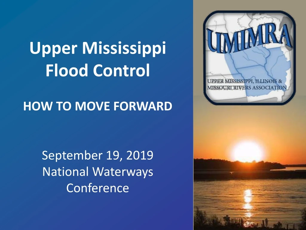
Upper Mississippi Flood Control HOW TO MOVE FORWARD September 19, 2019 National Waterways Conference. Hunt-Lime – inadequate levee heights & foreshore concerns, May 1993. Hunt Lima Levee Overtop July 9, 1993. South Indian Grave July 12, 1993. North Indian Grave July 13, 1993.

E N D
Upper Mississippi Flood Control HOW TO MOVE FORWARD September 19, 2019 National Waterways Conference
Hunt-Lime – inadequate levee heights & foreshore concerns, May 1993
Sny Island Local Gauge July 16
West Quincy (Fabius River DD) Sabotage July 16, 1993 Image source: The Weather Channel
Sny Island Local Gauge July 25
June 17, 2008 Henderson County, IL across from Burlington, Iowa
Greatest Flood of Record • 32.13 ft. on 7/13/1993 • 31.16 ft. on 06/01/2019 • 30.80 ft. on 06/18/2008 • 28.90 ft. on 04/25/1973 • 27.75 ft. on 04/21/2013 • 27.31 ft. on 05/16/2001 • 26.75 ft. on 07/08/2014 • 25.30 ft. on 10/04/1986 • 25.16 ft. on 06/01/2013 • 24.18 ft. on 05/29/1996
The 1954 Flood Control Act was based on the 1947 Flood of Record 1993 32.13 2019 31.16 2008 30.80 1947 23.90 7.5’ difference (Quincy gauge shown)
Rainfall Change 60 year trend
2016 Fragmented patterns of flood change across the USA 1940 – 1969 Base 1970 – 2013 Current Frequency Duration Volume Peak Magnitude Key: Significant negative trend Significant increasing trend U.S.G.S. & Vienna University of Technology, Austria
The Water Ecosystem Out of Balance • Used to have decades of dry fall periods with periodic high fall flows – indicated by braces right hand side of chart. • Last 40 years have seen the paradigm flip with more wet falls than dry falls – as indicated in boxed area upper right. • Impacts • Ecosystem Health • Recreation • Economy
Many Studies – No Action • 1994 USACE Post-flood report • 1994 White House “Blueprint for Change” S.A.S.T. • 1994 Galloway Report, Management Review Committee • 1995 Floodplain Management Assessment, USACE • 1997 A Balanced Management – Delft Hydraulics • 2008 USACE UMR Comprehensive Plan • 2011 USACE Working Plan • 2016 America’s Watershed Initiative “D” rating • 2019UMRBA Watershed Study initiatives
Develop a Systemic Plan based on prior studies – a plan that can be refined over time 2.6 million acres in floodplain 10% limited agricultural or in conservation districts 5% required for storage for MR&T benefit (MRC recommendation) 28% could improve to 500 year protection 57% Federal & some unprotected private as open waterway (no-change)
Draft Legislation New Authorization based on WRDA 99 Section 459 Develop a Plan in the interest of systemic flood damage reduction Specifically address recommendations to authorize construction of a systemic flood control plan for the Upper Mississippi Consult with appropriate Federal & State Agencies AND….
Draft Legislation New Authorization based on WRDA 99 Section 459 cont’d …the Governors of the States, representatives of the levee districts, agricultural stake-holders, and other interested parties Evaluate project implementation under the USACE Water Infrastructure Program as authorized by the Water Infrastructure Finance & Innovation Act (WIFIA), and Evaluate as a public private partnership, with Federal participation on non-structural / easement tasks and local / state participation on structural improvements to meet NED (cost benefit).
In Summary • Goal is to avoid catastrophic events and convey a major flood • Immediate need is to fine tune past work (the 2011 working plan) as a Public-Private plan ($3M requested) • Concentrate immediate work on main stem and complete plan in 2021 • Request MRC oversight & leadership on implementation
In Closing… …in the Lower Mississippi, the worst flood in history (2011) passed with no loss of life and relatively little damage, even though it threatened to destroy 1.5 million homes, $230 billion in crops and infrastructure, and many lives USACE
…in the Upper Mississippi, the worst flood in history (1993) passed with 47 deaths and assessments of economic damages ranged from $15 to 20 billion; with social disruption beyond measure, with more than 70,000 homes damaged or destroyed, and approximately 74,000 persons evacuated. USACE
“It’s time to implement the Comprehensive Plan and make us one River.” UMIMRA
Thank you! Michael D. Klingner, P.E. President, Klingner & Associates P.C. Chairman, UMIMRA mdk@klingner.com