Download
1 / 12
120 likes | 237 Views
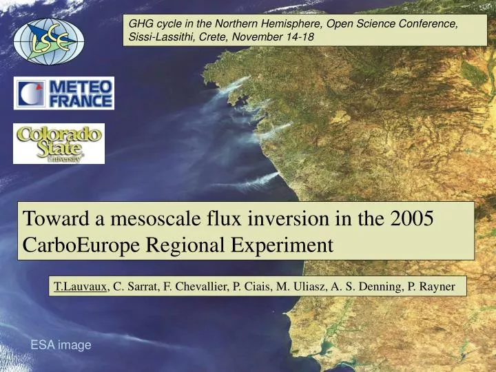
GHG cycle in the Northern Hemisphere, Open Science Conference, Sissi-Lassithi, Crete, November 14-18. Toward a mesoscale flux inversion in the 2005 CarboEurope Regional Experiment. T.Lauvaux , C. Sarrat, F. Chevallier, P. Ciais, M. Uliasz, A. S. Denning, P. Rayner. ESA image.

E N D
GHG cycle in the Northern Hemisphere, Open Science Conference, Sissi-Lassithi, Crete, November 14-18 Toward a mesoscale flux inversion in the 2005 CarboEurope Regional Experiment T.Lauvaux, C. Sarrat, F. Chevallier, P. Ciais, M. Uliasz, A. S. Denning, P. Rayner ESA image
Inversion of sources and sinks of CO2 Information on error coherence from eddy-flux data Meteo (meso NH) Sources and Sinks a priori + errors Particle Dispersion model Correction by inversion Observations + errors Aircrafts towers Model gives Concentration of CO2 Large scale [CO2] Boundary conditions (LMDZ)
CarboEurope Regional Experiment Network Regional budget of CO2 in the South West of France from ground based observations and aircraft data Piper Aztec Flux tower Concentration tower observation sites: Flux and CO2 concentration
Mesoscale atmospheric modelling MésoNH coupled with ISBA-A-gs: dynamical fields corresponding to wind and turbulence (u, v, w, Tp, TKE, u*, LMO, ...) Resolution of 8km in a domain of about 700*700 km2 (South West of France) Coupling with a vegetation scheme ISBA-Ag-s, parameterised with Ecoclimap_v3: Transport of atmospheric CO2 based on ISBA-A-gs fluxes Transport and carbon fluxes from the 23rd to the 27th of May 2005
Lagrangian Particle Dispersion Model Off-line coupling of mesoNH dynamical fields with LPDM: determination of diagnostic physical parameters Trajectories backward in time from the receptors to the sources Particle releasing frequency, number, particle lost (sedimentation,...), time dependant dynamics Integration of instrumented towerd data and aircraft data • 4 vertical boundaries (N, S, E, W) • with 2 vertical layers (BL, FT) • Surface grid
Forward mode All Particles ‘emitted’ by lateral boundary grid point j J All particules emitted by grid point i i
Backward mode Those particules ‘emitted’ by all lateral boundary grid points who reach the detector Those Particules emitted by all surface grid points who reach the detector
Meteorological context during the 27th of may • Early growth season for • summer crops • Mainly influenced by the boundary conditions? 27th may - 6pm 27th may - 2pm 27th may – 2am Sarrat et al., 2006
Particle distribution in time and space Origin Tower Aircraft Surface 87% 40% High bounds 10% 55% Low bounds 3% 5% Hourly distribution of the particles originating from the lateral boundaries Limited time window for the inversion 1 12 24 36 hours • Tower concentrations dominated • by the surface fluxes • model weakness ? • vertical profile of the variance on a concentration tower Aircraft data improve the constrain on the boundary unknowns
Error reduction on 4-day inversion Spatial distribution of the particles: Extension of the influenced zone Biscarosse (200m) Marmande (70m) 2 aircraft flights Biscarosse (20m) Marmande (70m) 2 aircraft flights 0 0.5 1 • Increase of the regional influence at a higher observation site • Limited impact for high altitude flights
Spatial error correlation on the fluxes Maize – Maize (short distance) R2 = 0.9 Maize – Maize (long distance) R2 = 0.1 Pine forest – Bare soil (short distance) R2 = 0.5 Maize – Maize + Bean R2 = 0.1 At this scale, can we extend the information by a spatial correlation in the background covariance error matrix ?
Conclusions Complete inversion system at the meso-scale Ready for real data… ESA image