Download
1 / 10
100 likes | 102 Views
This update outlines the goals and accomplishments of the Vertical Reference System Work Group (VRSWG) and the National Geodetic Survey (NGS) in the field of height modernization. It includes projects, tools, outreach efforts, and plans for the future.

E N D
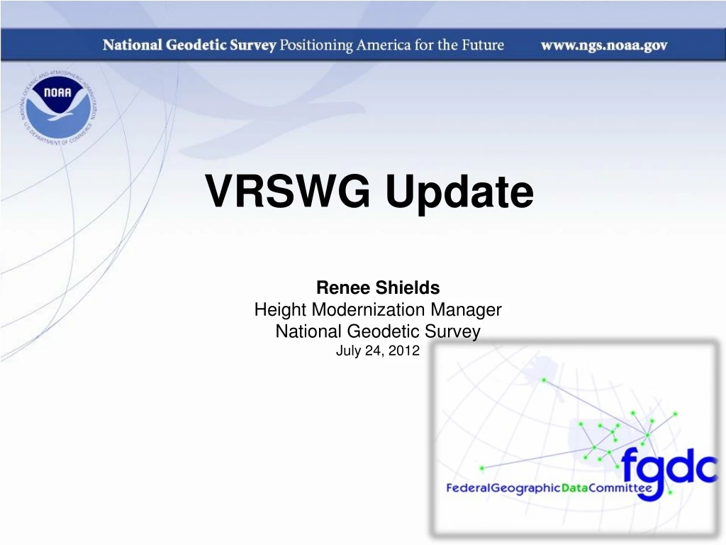
VRSWG Update Renee Shields Height Modernization Manager National Geodetic Survey July 24, 2012
Vertical Reference System Work Group Work Plan • Identify common objectives and opportunities for cooperative projects • Identify Products and Services impacted by new vertical datums • Update guidelines, standards, specifications to support transition to new datums • Education, Outreach, Capacity Building for users
VRSWG Accomplishments: Jan 2012-Present • Participation at Homeland Infrastructure Foundation-Level Data (HIFLD) on Apr 3-4, 2012 • Quarterly teleconference held April 5, 2012 • Kick-off “one-on-one” meeting with NGA on June 29, 2012 • Puerto Rico Vertical Datum of 2002 (PRVD02) “all but published”
Relevant Height Modernization / NGS Accomplishments: Jan 2012-Present • Projects • Updating HTDP (e.g.) – research contract • Geoid Slope Validation Surveys: 2011, 2013 • Support for ECO: Ecosystems and Climate Operations • Leveling projects in Gulf Coast region added to NGS IDB since 1995, being incorporated into VTDP • Gulf Coast Height Modernization Project
Relevant Height Modernization / NGS Accomplishments: Jan 2012-Present • Gulf Coast Height Modernization Project • Primary adjustment from Pensacola, FL to Houston, TX • Secondary adjustments in AL, FL, MS and TX
Relevant Height Modernization / NGS Accomplishments: Jan 2012-Present • Tools, Models • LOCUS, Vdatum • ArcGIS Tool box in development – used for National Adjustment of 2011, Special projects • Datasheet updates • Adding geoid model information • Revising publication in suspect areas
Relevant Height Modernization / NGS Accomplishments: Jan 2012-Present • Outreach/Education • Height Mod Partner meeting – June 2012 • Monthly Height Mod teleconferences • AZ statewide vertical adjustment • USGS stream gages and vertical datums • GSVS11 • Updates to NGS Datasheet Format • National Enhanced Elevation Assessment (NEEA) • The next NGS 10 year plan • GPS and Flood Certificates
Relevant Height Modernization / NGS Accomplishments: Jan 2012-Present • Height Modernization National Plan - input to updating NGS Strategic Plan • Improve access to NAVD 88 today • Identify areas of immediate critical need • Build infrastructure that will help access today, and support access in the future • Prepare for transition to new vertical datum • Models, tools, guidelines, specifications • Education, outreach, capacity building
Looking ahead • Height Modernization priorities • Continue work with user community, federal and local agencies, universities • Prioritize activities (e.g. surveys) with task force • Improve leveling processing with training, updating instructions, etc. • Continue “one-on-one” meetings with other federal partners • Next VRSWG meeting October 4, 2012
Questions Renee Shields Height Modernization Manager 301-713-3231, x116 Renee.Shields@noaa.gov