Download
1 / 22
220 likes | 232 Views
Learn about the importance of shoreland zoning in Wisconsin and its role in protecting our lakes and rivers. Discover the history, purposes, and impacts of shoreland practices, including shoreline buffers, setbacks, and reducing impervious surfaces.

E N D
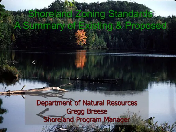
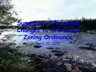
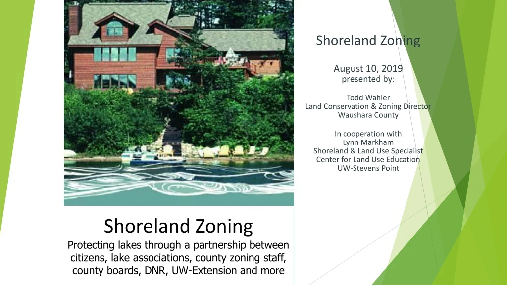
Shoreland Zoning August 10, 2019 presented by: Todd Wahler Land Conservation & Zoning Director Waushara County In cooperation with Lynn Markham Shoreland & Land Use Specialist Center for Land Use Education UW-Stevens Point Shoreland Zoning Protecting lakes through a partnership between citizens, lake associations, county zoning staff, county boards, DNR, UW-Extension and more
In Wisconsin, we are fortunate to have over 15,000 lakes and over 80,000 miles of streams For many people in Wisconsin, our waters are part of who we are Healthy fish, abundant wildlife and clear water all depend on how waterfront properties are developed
Shoreland zoning history • The Wisconsin Constitution, adopted in 1848, 170 years ago, said navigable waters are “common highways and forever free” • This led to “The waters of WI belong to the people of WI” which is the basis of the Public Trust Doctrine • State of WI has obligation to protect the public’s rights in all navigable waters including boating, fishing, swimming & hunting s. 281.31 Wisconsin Statutes See short videos Champions of the Public Trust dnr.wi.gov/topic/waterways/about_us/doctrine.htm
53 years ago • 1966 – Wisconsin Legislature passed Water Resources Act, which included shoreland zoning to protect our lakes and rivers
Shoreland Zoning History • 1966 – set state minimum standards • Counties could be more protective or restrictive with the standards to effectively manage the resources relevant to their geographical location and development pressures. • Many counties had the minimums until Act 55 (2015)
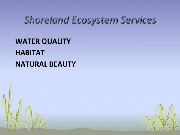
Purposes of shoreland zoning include… • Protect our lakes and streams • Prevent and control water pollution • Protect spawning grounds, fish and aquatic life • Reserve shore cover and natural beauty s. 281.31 Wis. Stats.
Shoreland zoning applies near lakes & rivers Required in unincorporated areas Optional in cities and villages
Shoreland zoning standards protect property values Less clear water = Lower waterfront property values • A study of over 1200 waterfront properties in Minnesota found when water clarity went down by 3 feet, waterfront property values around these lakes went down by tens of thousands to millions of dollars What shoreland practices make water less clear? • Rooftops and pavement close to the water cause runoff that carries pollutants to waterway • Soil erosion • No shoreline buffer to filter runoff See Protecting Your Waterfront Investment at uwsp.edu/cnr-ap/clue/Documents/Water/ShorelandInvestment2013.pdf
1 pound of P = 500 pounds of algae
Impacts of phosphorus Phosphorus added here • More algae & vegetation growth • - Unpleasant for swimming • Lower oxygen • More rough fish, less game fish
Shoreline Buffers & Setbacks • Areas of undisturbed soils and vegetation • Provide natural shoreland functions: protects water quality, provides habitat for wildlife and fish
What happens when a shoreline buffer is cut? • Shoreline bank is destabilized and eroded • Soil washed into the lake contains phosphorus which increases algae growth • Eroded soil covers spawning beds, smothering fish eggs • Less shade leads to warmer water temperatures • Habitat needed by birds, frogs and other wildlife is lost
Shoreline buffers Blue grass roots are 1-2 inches deep Blue grass roots are 1-2 inches deep 35 6 foot tall person Native plant roots are 5-15 feet deep, holding much more soil and P in place Blue grass cannot hold as much soil in place as native plants because blue grass has much shorter roots. Blue grass can lead to loss of shoreline, erosion, and sediment covering fish spawning beds.
What can buffers do if they’re big enough? phosphorus, nitrogen from poop covers spawning beds A 35 foot deep shoreline buffer does not keep bacteria from poop out of the water. In many situations, it doesn’t keep P and sediment out of the water, and isn’t enough for wildlife.
Why shoreline setbacks? • To provide space for the shoreline buffer • To keep the shoreline buffer intact during and after home construction • To keep homes & other buildings on stable ground • UWSP research found runoff from structures 75’ from OHWM entering Shawano Lake during a 1” rain Area for heavy equipment during construction Shoreline buffer 35 ft.
More Impervious Surface = Less Fish More impervious surface causes • Larger and more frequent floods • Less groundwater leads to lower stream flows & warmer water temperatures during dry periods
More Impervious Surface = Less Fish • More runoff from hot pavement and shingles makes the water hotter • More nutrients from soil and fertilizers result in less oxygen in the water, which fish need to survive Trout are gone above 11% impervious Northern pike are gone above 12% impervious
More Impervious Surface = Less Fish • More sediments and algae growth make it difficult for some predator species that hunt by sight to find their food • More sediments cover spawning beds of fish such as walleye and smallmouth bass, depriving eggs of oxygen
2008 study of 164 WI lakes found the same trend Do this exercise with your committee or county board? 2008 study of 164 WI lakes found the same trend • Current one-size-fits-all shoreland zoning standards allow: • 15% impervious on all home lots • 40% on all store & industrial lots Wang et al., JAWRA, 36:5, 1173-1189, 2000
The closer a structure is to the shoreline…the greater impact it has on the waterway • Built at the shoreland setback • Buffer in place to filter runoff
The closer a structure is to the shoreline…the greater impact it has on the waterway • More pollutant-carrying runoff enters water • No room for a buffer to hold soil in place and filter runoff • Less shoreline habitat for eagles, loons, frogs, etc.