Download
1 / 20
240 likes | 304 Views
Propagation Models. Large scale models predict behavior averaged over distances >> Function of distance & significant environmental features, roughly frequency independent Breaks down as distance decreases Useful for modeling the range of a radio system and rough capacity planning,

E N D
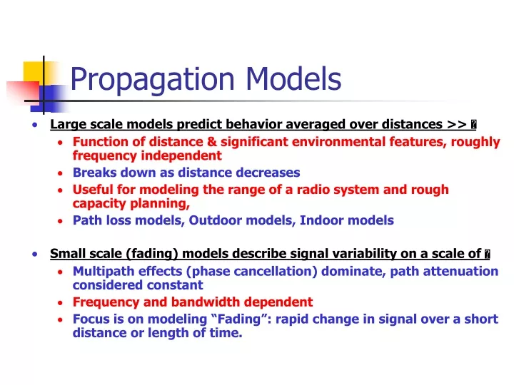
Propagation Models Large scale models predict behavior averaged over distances >> Function of distance & significant environmental features, roughly frequency independent Breaks down as distance decreases Useful for modeling the range of a radio system and rough capacity planning, Path loss models, Outdoor models, Indoor models Small scale (fading) models describe signal variability on a scale of Multipath effects (phase cancellation) dominate, path attenuation considered constant Frequency and bandwidth dependent Focus is on modeling “Fading”: rapid change in signal over a short distance or length of time.
Free Space Path Loss Path Loss is a measure of attenuation based only on the distance to the transmitter Free space model only valid in far-field; Path loss models typically define a “close-in” point d0 and reference other points from there:
Log-distance Path Loss Log-distance generalizes path loss to account for other environmental factors Choose a d0 in the far field. Measure PL(d0) or calculate Free Space Path Loss. Take measurements and derive n empirically. n
Log-Normal Shadowing Model Shadowing occurs when objects block LOS between transmitter and receiver A simple statistical model can account for unpredictable “shadowing” PL(d)(dB)=PL(d)+X Where X is a zero-mean Gaussian RV (in dB) (distributed log normally), with standard deviation of (in dB) is usually from 3 to 12 dB
Longley-Rice Model Point-to-point from 40MHz to 100GHz. irregular terrain model (ITS). Predicts median transmission loss, Takes terrain into account, Uses path geometry, Calculates diffraction losses Inputs: Frequency Path length Polarization and antenna heights Surface refractivity Effective radius of earth Ground conductivity Ground dielectric constant Climate Disadvantages Does not take into account details of terrain near the receiver Does not consider Buildings, Foliage, Multipath Original model modified by Okamura for urban terrain
Durkin’s Model It is a computer simulator for predicting field strength contours over irregular terrain. Line of sight or non-LOS Edge diffractions using Fresnel zone Disadvantage cannot adequately predict propagation effects due to foliage, building, and it cannot account for multipath propagation.
2-D Propagation Raster data Digital elevation models (DEM) United States Geological Survey (USGS)
Algorithm for line of sight (LOS) Line of sight (LOS) or not
Okumura Model It is one of the most widely used models for signal prediction in urban areas, and it is applicable for frequencies in the range 150 MHz to 1920 MHz Based totally on measurements (not analytical calculations) Applicable in the range: 150MHz to ~ 2000MHz, 1km to 100km T-R separation, Antenna heights of 30m to 100m
Okumura Model The major disadvantage with the model is its low response to rapid changes in terrain, therefore the model is fairly good in urban areas, but not as good in rural areas. Common standard deviations between predicted and measured path loss values are around 10 to 14 dB.
Hata Model Empirical formulation of the graphical data in the Okamura model. Valid 150MHz to 1500MHz, Used for cellular systems The following classification was used by Hata: ■Urban area ■Suburban area ■Open area
Hata Model • Urban area • Suburban area • Open area - E - E
PCS Extension of Hata Model COST-231 Hata Model, European standard Higher frequencies: up to 2GHz Smaller cell sizes Lower antenna heights f >1500MHz Metropolitan centers Medium sized city and suburban areas
Indoor Propagation Models The distances covered are much smaller The variability of the environment is much greater Key variables: layout of the building, construction materials, building type, where the antenna mounted, …etc. In general, indoor channels may be classified either as LOS or OBS with varying degree of clutter The losses between floors of a building are determined by the external dimensions and materials of the building, as well as the type of construction used to create the floors and the external surroundings. Floor attenuation factor (FAF)
Signal Penetration into Buildings RF penetration has been found to be a function of frequency as well as height within the building. Signal strength received inside a building increases with height, and penetration loss decreases with increasing frequency. Walker’s work shows that building penetration loss decrease at a rate of 1.9 dB per floor from the ground level up to the 15th floor and then began increasing above the 15th floor. The increase in penetration loss at higher floors was attributed to shadowing effects of adjacent buildings. Some devices to conduct the signals into the buildings
Ray Tracing and Site Specific Modeling Site specific propagation model and graphical information system. Ray tracing. Deterministic model. Data base for buildings, trees, etc. SitePlanner