1 / 51

200

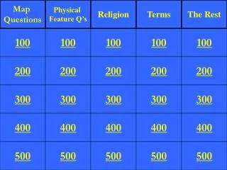
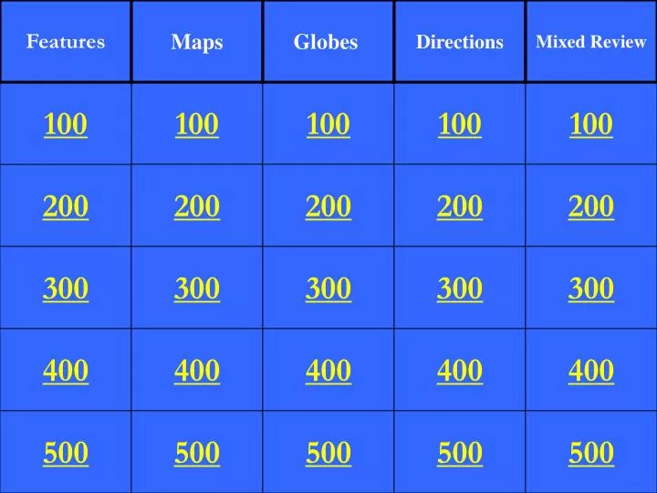
Features. Maps. Globes . Directions. Mixed Review. 100. 100. 100. 100. 100. 200. 200. 200. 200. 200. 300. 300. 300. 300. 300. 400. 400. 400. 400. 400. 500. 500. 500. 500. 500. Is a lake a human or physical feature?. Physical Feature.

mirra
Download Presentation

200

An Image/Link below is provided (as is) to download presentation Download Policy: Content on the Website is provided to you AS IS for your information and personal use and may not be sold / licensed / shared on other websites without getting consent from its author. Content is provided to you AS IS for your information and personal use only. Download presentation by click this link. While downloading, if for some reason you are not able to download a presentation, the publisher may have deleted the file from their server. During download, if you can't get a presentation, the file might be deleted by the publisher.

E N D

Presentation Transcript


  1. Features Maps Globes Directions Mixed Review 100 100 100 100 100 200 200 200 200 200 300 300 300 300 300 400 400 400 400 400 500 500 500 500 500

  2. Is a lake a human or physical feature?

  3. Physical Feature

  4. Is a road a human or physical feature?

  5. Human Feature

  6. Is a library a human or physical feature?

  7. Human Feature

  8. Give four examples of human features?

  9. Houses, roads, schools, police station, railroad tracks, etc.

  10. Give four examples of physical features?

  11. Lakes, ponds, plains, plateaus, mountains, deserts, etc.

  12. What shows us a “bird’s eye view” of the land?

  13. Aerial photograph

  14. What kind of map uses symbols, shows borders of states or countries, may show cities, roads, or other human features?

  15. Political Map

  16. Where do I look to find out what a specific symbol means?

  17. Map Key or Legend

  18. What does a physical map show us?

  19. What the physical land looks like. It may use colors or patterns to identify plains, desert, mountains, etc.

  20. Explain how a political map and physical map are different.

  21. A physical map shows what the physical features of the land look like, but a political map does not.

  22. What is the imaginary line that runs through the center of the earth dividing it into northern and southern hemispheres?

  23. Equator

  24. What is the imaginary line that runs through the center of the earth dividing it into western and eastern hemispheres?

  25. Prime Meridian

  26. Draw a diagram of the earth labeling the North and South Poles and the equator.

  27. Teacher will check your work.

  28. Draw a diagram of the earth labeling the Arctic Circle, Antarctic Circle and the Tropics.

  29. Teacher will check your work.

  30. Draw 2 diagrams of the earth. Label the northern and southern hemispheres on one and the western and eastern hemispheres on the other.

  31. Teacher will check your work.

  32. Complete the compass rose.N

  33. Teacher will check your work.

  34. Which direction would you travel if you wanted to go from the teacher’s desk to the classroom door?

  35. Teacher will check your answer.

  36. In which direction would you travel if you started at the classroom door and wanted to go to the dry erase board?

  37. Teacher will check your answer.

  38. In which direction would you travel if you started at your classroom door and wanted to go down the hallway to the library?

  39. Teacher will check your answer.

  40. In which direction would you travel if you started in Solon and wanted to get to Lake Erie?

  41. North

  42. On what type of map would you find a fire station?

  43. Political

  44. On what type of map would you find a plateau?

  45. Physical

  46. Is North America in the northern or southern hemisphere?

  47. northern hemisphere

  48. Which imaginary line vertically divides the earth in half?

  49. Prime Meridian

  50. Which imaginary line is above or north from the equator…the Tropic of Cancer or the Tropic of Capricorn?

More Related