Download
1 / 1
10 likes | 78 Views
Crooked and American Rivers. History and Background. History and Background.

E N D
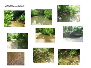
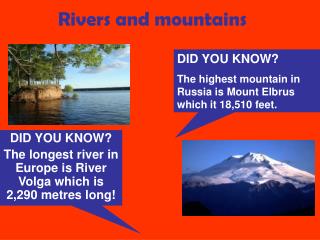
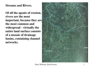
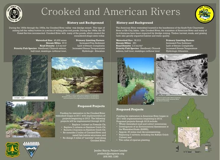
Crooked and American Rivers History and Background History and Background During the 1930s through the 1950s, the Crooked River valley was dredge mined. This type of mining left the valley bottom in a series of tailing piles and ponds. During the 1980s, the US Forest Service reconnected Crooked River with many of the ponds, which created the meandered shape seen today. The American River watershed located in the headwaters of the South Fork Clearwater Riverat Elk City, Idaho.Like Crooked River, the mainstem of American River and many of its tributaries have been impacted by dredge mining. Timber harvest, roads, and grazing have also greatly impacted habitat and water quality. Primary Limiting Factors: Increased Fine Sediment Lack of Stream Complexity Increased Stream Temperature Hydrologic Alteration Watershed Size: 45,659 acres Stream Miles: 97.5 Road Density: 2.0 mi/mi² Priority Fish Species: Steelhead, Chinook salmon, bull trout, westslope cutthroat trout, Primary Limiting Factors: Increased Fine Sediment Lack of Stream Complexity Increased Stream Temperatures Hydrologic Alteration Watershed Size: 56,612 Stream Miles: 261 Road Density: 2.3 mi/mi² Priority Fish Species: Steelhead, Chinook salmon, bull trout, westslope cutthroat trout Photo courtesy of CardCow.com Photo courtesy of : Idaho Historic Society Figures 1-3 (left to right): Aerial imagery of Crooked River Meanders, historic photo of bucket line dredge in Crooked River, and recent photo of an engineered structure in Crooked River. Figures 4-6 (left to right): Historic hydraulic mining in Buffalo Gulch, American River, map of land ownership. Proposed Projects Proposed Projects Funding for restoration in the Crooked River watershed began in 2011 with implementation of projects beginning in 2012. The following projects will be implemented through 2018: • Funding for restoration in American River began in 2011 with implementation beginning in 2012. Proposed projects through 2018 include: • Whole watershed road and culvert inventories; • Development of an Environmental Assessment at the Watershed Scale (EAWS); • Approx. 20 miles road decommissioning; • Replacing 3 culverts, including the Buffalo Gulch Culvert; and • Two miles of riparian planting. • Replace 1culvert on FivemileCk; • Replace 2 culverts on Rainbow Gulch Ck; • Remove 2 barriers on Rainbow Gulch Ck; • Re-meander 2 miles of Crooked River and install fish habitat structures; and • Re-design 4 miles of “narrows” road along Crooked River. Jenifer Harris, Project Leader jeniferh@nezperce.org 208.983.1290