Download
1 / 9
120 likes | 190 Views
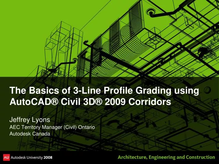
The Basics of 3-Line Profile Grading using AutoCAD® Civil 3D® 2009 Corridors. Jeffrey Lyons AEC Territory Manager (Civil) Ontario Autodesk Canada. Jeffrey Lyons, Autodesk Canada. Graduated Geology Tech (82-84 S.S. Fleming) Graduated Mining Engineering CET (84-87 Haileybury School of Mines)

E N D
The Basics of 3-Line Profile Grading using AutoCAD® Civil 3D® 2009 Corridors Jeffrey Lyons AEC Territory Manager (Civil) Ontario Autodesk Canada
Jeffrey Lyons, Autodesk Canada • Graduated Geology Tech (82-84 S.S. Fleming) • Graduated Mining Engineering CET (84-87 Haileybury School of Mines) • Late 80’s/Early 90’s Underground Surveyor in NWT, Geophysical Exploration Instrumentation Support Tech, Ontario Land Surveyor CAD Tech... • Mid 90’s, Joined Land Development Civil Engineering firm in Toronto - CAD Production and Design for Residential and Commercial Site – Acquired by Stantec Consulting in 2000 • 2000 – Started landproject.com, 3rd party software development and consulting for Land Desktop • 2005 – Return to Stantec Consulting, participated in Civil 3D 2006/2007 Review and Pilot Projects • 2007 – Autodesk Canada, AEC Territory Manager for Civil in Ontario • Summer 2008 – Short term leave from Autodesk as consultant to convert Land Desktop applications to Civil 3D platform • Fall 2008 – Return to Autodesk Canada as AEC Territory Manager for Civil in Ontario
Session Outline (only 90 Min ;-) • 1:00pm - Introduction • 1:10pm – Project Setup Review • 1:20pm - Preliminary Grading using Points and Featurelines • 1:30pm - Building the Street Corridor Model • 2:00pm - Creating the 3Line Plan n Profile Sheet • 2:20pm - Bonus Discussion Points • Lot Grading and Earthworks Strategy using Street Models • Importing Pipe Networks • Design Team Workload Distribution • 2:30pm - Information Links and Tools
Project Dataset Review • Minimum Requirements • Existing Ground Surface model • Site Alignments representing street centerlines • Road Section details • Optional project level objects include • Curb and Gutter Alignments (Knuckles, Cul-de-sacs, Valley Gutters) • Right of Way Alignments (Knuckles, Cul-de-sacs) • Retention Basin or Storm Water Pond Surfaces • Completed Street Design Surfaces • Pre-Set Standards • Drawing Template (DWT) with Custom Object and Label Styles • Standard Road Section Assemblies Drawing • Standard Plan and Profile Sheet
Data Shortcut Model Overview OG Surface Site Earthworks Lot Grading and FG Surface Street B Surface Pond Basins and Surfaces Street A Corridor and Street A Surface FG Centerline Profile and Profile Views Alignments Pipe Networks Plan n Profile Sheet Base Layout
Why use a Street Corridor? Lot Grading and FG Surface • A single base model drawing that contains: • Link to Centerline Profile Design • Link to other Street Model surfaces • Workspace for Curb and Gutter designs • Street Corridor vs Site Corridor Model • Smaller drawings • Simplified corridor parameters list • Low Risk of Corruption – “Diversified” portfolio • Isolated editing environment for multiple project team members Street B Surface Street C Surface Street A Corridor and Street A Surface FG Centerline Design Profile (Street A) Profile View Base Showing 3 Line Profiles Curb and Gutter Surface Profiles from Corridor (Street A)
7 Steps to Building the Detailed Street Corridor include: • Street, Crown & Gutter Alignments • Preliminary Point Grading • Crown & Gutter Profiles and Featurelines (Warps) • Baseline and Region Parameters • Corridor Surface • Data Shortcuts • Plan n Profile Referencing and Production
Information Links and Tools • Download of this AU session and Toolset • AU2008 Online – http://au.autodesk.com • Civil3DSolutions.com – www.civil3dsolutions.com • Ontario Civil 3D Users Group - http://ontariocivil3d.blogspot.com/ • My Email – jeffrey.lyons@autodesk.com