Download
1 / 15
150 likes | 258 Views
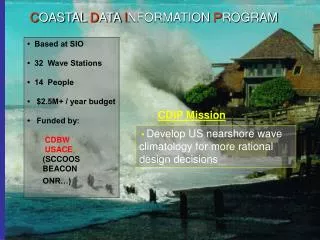
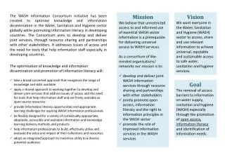
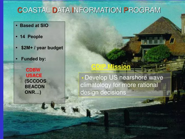
C OASTAL D ATA I NFORMATION P ROGRAM. • Based at SIO • 14 People • $2M+ / year budget • Funded by: CDBW USACE (SCCOOS BEACON ONR…). CDIP Mission. • Develop US nearshore wave climatology for more rational design decisions.

E N D
COASTALDATAINFORMATIONPROGRAM • Based at SIO • 14 People • $2M+ / year budget • Funded by: CDBW USACE (SCCOOS BEACON ONR…) CDIP Mission • Develop US nearshore wave climatology for more rational design decisions
27 Operational CDIP Stations California, Georgia, Guam, Hawaii, Oregon, Washington -------------------------------------------- 150 Historical Stations (1975-present) California, Georgia, Hawaii, Minnesota, North Carolina, Oregon, Virginia, Washington, Guam ------------------------------------------- All data archived, processed and available.
MODELS NOWCASTS FORECASTS MEASUREMENTS (update @ 30 min)
Modeling Waves Across the Basin Headland shadowing Refractive effects Directional wave buoy to initiate model Island shadowing Diffraction effects Amplification over shoals
West Swell Northwest Swell
SOUTHERN CALIFORNIA BEACH PROCESSES STUDY (SCBPS) USACE Support since 2002 CDIP Wave Buoys LIDAR In-Situ ATV & JetSki Surveys: San Onofre and Torrey Pines
Insitu Surveys Monthly: Low tide above waterline (exposed beach). Twice/Year: Extend to 8m depth TorreyPines San Onofre
Optech LIDAR Instruments (Light Detection and Ranging) Altitude: 3000 ft Swath Width: 600 ft
2 Surveys/year – Long Beach to Mexican Border Spring: eroded Late Summer: accreted
Elevation Change (May – Sep 2002) San Onofre – Low seasonal Variation. Torrey Pines – High seasonal Variation.
South Swell Northwest Swell San Onofre exposed Both San Onofre and Torrey Pines are exposed to North swell. Torrey Pines sheltered by Pt. La Jolla
SCBPS Website 2002 – Present • 8 LIDAR Surveys • Monthly Surveys (Torrey Pines & San Onofre) • NCEX ------------------------------------------------------------------ FUTURE • Continue New Surveys • Ingest/display/archive other surveys (e.g. Coastal Frontiers) • Collaboration with observing systems (SCCOOS/IOOS)