Download
1 / 27
270 likes | 358 Views
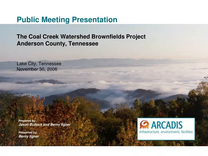
Public Meeting Presentation The Coal Creek Watershed Brownfields Project Anderson County, Tennessee Lake City, Tennessee November 30, 2006. Prepared by: Jason Bulluck and Berny Ilgner Presented by: Berny Ilgner. Team/Acknowledgements. Beverly Williams – EPA Region 4

E N D
Public Meeting PresentationThe Coal Creek Watershed Brownfields Project Anderson County, TennesseeLake City, TennesseeNovember 30, 2006 Prepared by: Jason Bulluck and Berny Ilgner Presented by: Berny Ilgner
Team/Acknowledgements • Beverly Williams – EPA Region 4 • Allan Comp, PhD – Office of Surface Mining • Andy Shivas – State of Tennessee • Alan Neal – National Resources Conversation Service • Brian Jenks/Rex Lynch – Anderson County • Buck Wilson – Lake City • Barry Thacker / Carol Moore – Coal Creek Watershed Foundation 2
Brownfields • Urban definition – a real property, the expansion, redevelopment, or reuse of which may be complicated by the presence of a pollutant • Includes real or perceived • Mine-scarred lands 3
Brownfields Meet Mine-Scarred Lands (MSL) • MSL added to Small Business Liability Relief and Brownfields Revitalization Act of 2002 • MSL includes lands, associated waters, and surrounding watershed where extraction, beneficiation or processing of ores and minerals (including coal) has occurred • MSL considered Brownfields even if chemical contaminants are not primary barriers to revitalization 4
Characteristics of MSL Watersheds • Aquatic ecosystems degraded by Acid Mine Drainage (AMD) and increased erosion • Visual and chemical impacts of spoil piles and washing operations • Sedimentation of waterways • Limited infrastructure and level land to redevelop • Limited land access 5
Coal Creek Watershed • 36 square miles • Communities built on coal, now in decline • Abandoned mine lands • Potential adverse impact to local environment/ water quality • Coal Creek 303d listed as partially impaired 6
Challenges • How can these environmental impacts be quantified over such a large area? • How can Brownfields be applied to non-point sources, and still be a catalyst for economic recovery? • How do you stimulate interest by large landholders to develop properties for redevelopment? 7
Coal Creek Watershed Assessment Assets Heritage 8
Coal Creek Watershed Assessment Assets Ecology Golden-winged warbler American elk Diana fritillary 9
Local Activism Coal Creek Watershed Foundation (CCWF) • Stream bank stabilization projects • Dead wood removal events • River clean-ups • Annual Coal Creek Health Day • Annual CCWF Scholarship Fund • Annual Coal Creek Miners Festival 10
CCW Assessment Approach/Objectives • Initial watershed assessment • Geodatabase construction • Integrated Pollutant Source Inventory (IPSI)-Sediment Loading Model (SLM) • Data gaps/data collection • Geodatabase update • Site identification • Phase I/Phase II Environmental Assessments • Actively engage community members in the process 11
Initial Assessment – Historical Data • Cultural • Historical • Water quality • Hydrological • Geological • Ecological • Socio-economic • Landownership 12
Environmental Data • Mines • Strip • Deep • Water quality • Chemical • Physical • Biological • Fish • Benthicinvertebrates • Data distribution Map deleted. Contact project coordinators to view. 13
Environmental Conditions • Strip benches and deep mine portals throughout watershed (numerous non-point sources) • Some flooding corrected (removed from 303d listing due to siltation) • Water chemistry (pH, TSS, alkalinity) indicates generally acceptable water quality (24 samples collected seasonally) • Coal Creek listed as partially impaired based on pathogens (must reduce by 56%) • Terrestrial and aquatic habitats degraded throughout watershed 14
Geodatabase Construction • Populated with all existing data/ information • Interlinked with base layers • USGS topographic maps • Roads, political boundaries • Hydrology, land cover • Integrated geodatabase for modeling, analysis • Guide for this assessment • Tool for future redevelopment efforts 15
Sediment Loading Model • Recent aerial photography • Photointerpretation • Land use/land cover classification • sub-watershed delineations • Sediment contributions via Revised Universal Soil Loss Equation (RUSLE) • Identification of data gaps • Geodatabase integration • Target properties selection 16
Aerial Photography and Photointerpretation Map deleted. Contact project coordinators to view. 17
Landuse/Landcover Classification Map deleted. Contact project coordinators to view. 18
Sub-Watershed Delineations Map deleted. Contact project coordinators to view. 19
Model Outputs Example of the Sediment Contribution Model Output Data Map deleted. Contact project coordinators to view. 20
Base Flow Data Results • Water quality similar to historic sites • Slightly abnormal conditions in two sub-watersheds where past mining took place • Perception more of a “contaminant” than constituents • Aquatic habitat quality lower than other streams in the region • Healthier aquatic communities in headwaters and tributaries of Coal Creek than in Coal Creek • Seeds for improvement 22
Target Property Selection:Priority Site Screening CriteriaA property may be chosen if it… • is a source of Acid Mine Drainage • has visual or chemical impact • contributes to erosion or siltation • has historically/culturally important features • has potential to build tourism infrastructure • has ecological important features 23
Target Property –Old Block Factory Site Map deleted. Contact project coordinators to view. 24
Phase I and Phase II Environmental Assessments • Phase I Environmental Assessment • Phase II Environmental Assessment • Focus on soil and groundwater sampling 25
Coal Creek Watershed Outlook • Pursuit of current economic development strategy • Focused volunteer clean-up efforts • Stream bank stabilization grants from TDEC and OSM • Additional assessment/clean-up funding opportunities via Brownfields Program 26
Questions 27