Download
1 / 22
230 likes | 387 Views
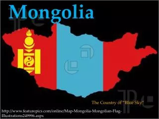
Tuul-Terelj basin of Mongolia. N.Buyankhishig Mongolian University of Science and Technology G.Udvaltsetseg Institute of Geoecology, Mongolian Academy of Science. B asic information of Mongolia. Population: 2.8 million

E N D
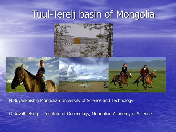
Tuul-Terelj basin of Mongolia N.Buyankhishig Mongolian University of Science and Technology G.Udvaltsetseg Institute of Geoecology, Mongolian Academy of Science
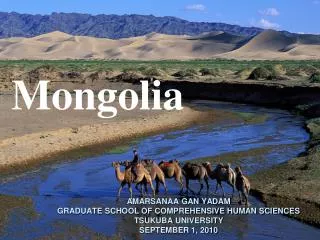
Basic information of Mongolia Population: 2.8 million Area: 1,566,000 sq km (610,740 sq mi) Land boundaries: 8,158 km, with Russia 3,485 km and with China 4,673 km Average altitude: 1,580 m above sea-level Climate: Extremelycontinetal climate Average summer temperature +20'C, average winter temperature -26'C, average rainfall 200-220 mm.
Allocation of water usage Main problems are pollution and scarcity of water resources, harmful effect of the human activities on the environment, industrial pollution,digging mines in some river basins.
The country’s geographic location is sitting at the major continental basins: • Northern Arctic Ocean Basin (AOB) • (51% of the precipitation and 20.5% of the territory) • Pacific Ocean Basin (POB) • (37% of the precipitation and • 67% of the territory) AOB POB ADB • Central Asian Inland Basin (ADB) • (12% of the precipitation and • 12.5% of the territory)
Surface Water • 3811 rivers with 67000 km length • 3436 lakes and oasis • 9600 springs • 187 glaciers • 250 mineral waters • thermal 40 (N2) • cold 70 (CO2)
Mongolia has limited freshwater resources. In total, 599 km3 of • water is available: • - of which 500 km3 of water is contained in lakes • (including 90 km3 in saline lakes), • - 62.9 km3 in glaciers and • - 34.6 km3 of water is contained in rivers and their • underground basins. The National Survey for Surface Water was conducted in 2003 by the MNE the following: - River and streams are 5565: 683 are dried up, 4882 with discharge - Springs are 9600: 1484 are dried up, 8116 with discharge - lakes and oasis are 4196: 760 are dried up, 3436 with discharge.
Groundwater • Southern part • Mezozoic sedimentary rocks • Precipitation 50-100 mm/ year • Yield of spring Q=0.03-21 l/ s • Well specific yields 0.1-6.0 l/ s • TDS 500-600mg/l • Northern part • From Archezoic to Cenozoic magmatic metamorphic and sedimentary rocks • Precipitation 400-550mm/ year • Q=0.2-50 l/s sometimes Q=100 l/ s • q=0.2-30 l/ s • TDS 200 mg/l
Regional hydrogeological study and a location of groundwater monitoring net
1956-1960 HydroCommonConst 1959-1960 HydroEnergyProject 1968-1984 PNIIIS 1993-1995 JICA First groundwater model was done by Jadambaa.N in 1977. Organization of formal Soviet Union PNIIIS carried out hydrogeological investigation on new water resources for Ulaanbaatar city in 1983. Japan International Cooperation Agencey (JICA) investigated water supply system of Ulaanbaatar and its surroundings in 1995. Narangerel, ZH (1974), Jadambaa, N (1977), Banzar, E (1979), Lhan-Aasuren, G (1982), Anand, A (1983), Batsukh, N (1994) are described the in detail the hydrogeology, engineering geology, hydrogeologic characteristics, hydraulic properties, yield, water level and budgets, and water quality of the Ulaanbaatar area. In 1993-1995 Geoecological Institute did some observation work in the area.
Physical framework Geologic/hydrogeologic map and cross sections Topographic map Contour maps Isopach map Borehole logs Pumping rate Climate data Hydrogeologic framework Groundwater level Information of surface water Field work Hydrogeological parameters Surface water-groundwater interaction, natural groundwater discharge
Large river basins in Mongolia 7 87 The territory of Mongolia divided into eight large river basins based on economic and environmental significances, namely: 1.Kherlen River basin 2.Great-Lakes basin 3. Selenge River basin 7 4.Onon, Ulz, and Khalkh rivers basin 4 2 3 8 4 1 5.Northern Gobi Rivers basin 5 6. Southern Gobi of Altai basin 6 7. Khubsugul Lake basin 8. Tuul River basin Large river basins in Mongolia
The total catchment area is 49840 km2. Average height is 1300m a.s.l.
The Tuul River originates close to Hagiin Har Nuur in Khentii Mountains and flows westerly through Ulaanbaatar. Its flow direction is generally from north-east to south-west although it changes its direction several times. The Tuul River and afterwards drains to the Selenge River, which in turn feeds onto Lake Baigal
The geology around the area consists mainly of Carboniferous sediments, which are intruded by Jurassic to Triassic granitoids rocks and locally covered by Cretaceous sediments and Tertiary and Quaternary deposits
Climate is characterized by a semi-arid climate, with a hot, dry summer and cold winter.Annual precipitation in the area varies from 242.7 mm to 396.7 mm, depending on the altitude of the observation stations. Legend: Break line- humidity (%), Solid line-temperature (Co), Column- precipitation (mm)
Daily mean discharge data has collected at the Ulaanbaatar station from 1946 to 1991, with values ranging from 0 m3/s (winter time) to 627 m3/s (during flooding). Average annual discharge at Ulaanbaatar station is 26.57m3/s and average specific discharge is calculated at 4.22m3/s. The maximum daily mean discharge recorded is 338.0m3/s, but the minimum discharge recorded during the rainy season was only 6.84m3/s
The width of the river in the city area is 45-50 m, but dry seasons falls to 5-18 m. River depth during droughts is about 0.9-1.2 m, average velocity is 0.31-2.24 m/sec and maximum velocity reaches 4 m/sec. The potential of the groundwater resources is estimated at 220 00 cubic meters per day. The city’s current water consumption is estimated at 150 00 cubic meters per day, and it is expected to approach the limit in the near future. The water consumption forecast estimates an increase to 308 000 cubic meters per day by 2020.