Download
1 / 13
130 likes | 137 Views
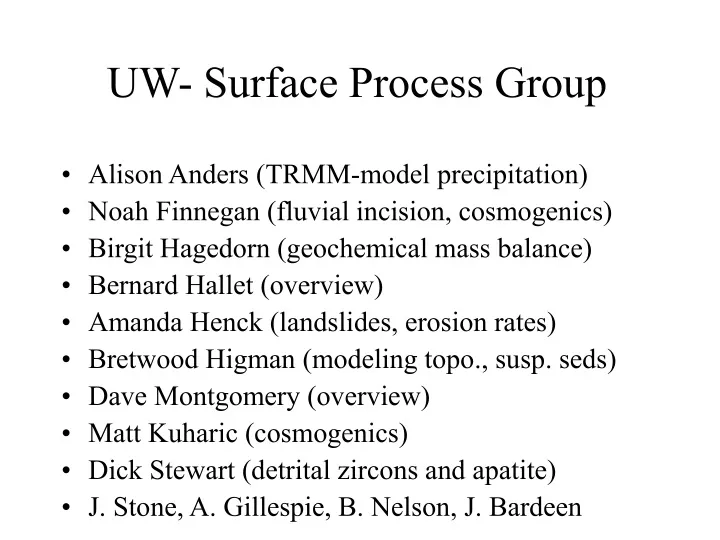
UW- Surface Process Group. Alison Anders (TRMM-model precipitation) Noah Finnegan (fluvial incision, cosmogenics) Birgit Hagedorn (geochemical mass balance) Bernard Hallet (overview) Amanda Henck (landslides, erosion rates) Bretwood Higman (modeling topo., susp. seds)

E N D
UW- Surface Process Group • Alison Anders (TRMM-model precipitation) • Noah Finnegan (fluvial incision, cosmogenics) • Birgit Hagedorn (geochemical mass balance) • Bernard Hallet (overview) • Amanda Henck (landslides, erosion rates) • Bretwood Higman (modeling topo., susp. seds) • Dave Montgomery (overview) • Matt Kuharic (cosmogenics) • Dick Stewart (detrital zircons and apatite) • J. Stone, A. Gillespie, B. Nelson, J. Bardeen
Central Theme: Erosion Rates • Spatial patterns over a range of time scales • Time scales ranging from102 to 106 years • Current • Theoretical (fluvial incision model) • Mass Balance (based on diverse geochemical data)
Theoretical studies • Fluvial incision rate index (scales w/ river power) show clearly that rapid erosion is currently confined to the Tsangpo Gorge, including the lower Po-Tsangpo • Knickpoint dynamics (statics) mark active tectonic aneurysms not only at syntaxes but all along Himalaya • Regional GIS study: relief, high low-relief surfaces, topographic trends • Regional precipitation study (Alison, TRMM measurements) • Simulations of drainage development with spatially varying uplift (Hig)
TRMM Precipitation Data 4-year compilation A. Anders
Mass Balance Geochemical (dissolved load + suspended load + bedload = bedrock, following Galy and France-Lanord) • i. major ions • ii. minor and trace ions Zircons (zircons from rapidly eroding area make up nearly half of zircons in upper Brahmaputra) Trace minerals (garnet)
Sampling locations 95° 00 96° 00 1 Tungmai PARLONG Dongjiu 2 30° 00 Po Tsangpo Loulan Namsche Barwa 7782 m NUXIANG 29° 30 Jiali-Parlung Tsangpo Siang Yarlung Tsangpo Medog Pasighat Yarlung Tsangpo Brahamaputra Year round sampling sites Sampling location
2 1 3 • Sampling in Nuxiang • Installation of rain gauge in Tong Mai • Sampling in Parlong
102 to 104 year time scales • 102 to 103 year time scale, cosmogenic radionuclides • bedrock (strath) terraces provide a measure of incision rates • sediments reflect basin-average exposure time (time scale: penetration depth/erosion rate, O(1m/0.001m/yr= 1000yrs) • 103 to 104 yrs • Catastrophic floods may be responsible for much of the erosion • Chronology and frequency of floods are closely tied to chronology of glaciations
105 to 106 yrs time scale from sands • .Zircon fission track ages (locking in T ~ 240 to 300C) in sands from river above and below rapidly eroding areas • Detrital apatite fission track ages (locking in T ~ 110C)