Download
1 / 11
110 likes | 188 Views
RAINCLOUDS Satellite rain and cloud probing for monitoring and forecasting water resources at a range of time scales V. Levizzani National Research Council Institute of Atmospheric Sciences and Climate Bologna, Italy. An Expression of Interest for an Integrated Project Presented by

E N D
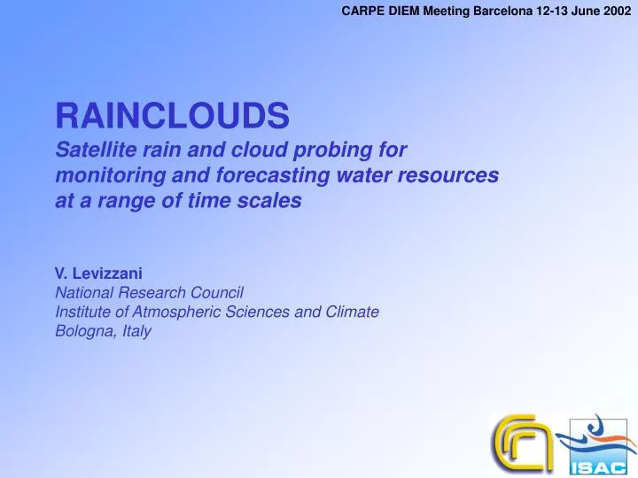
CARPE DIEM Meeting Barcelona 12-13 June 2002 RAINCLOUDS Satellite rain and cloud probing for monitoring and forecasting water resources at a range of time scales V. Levizzani National Research Council Institute of Atmospheric Sciences and Climate Bologna, Italy
CARPE DIEM Meeting Barcelona 12-13 June 2002 An Expression of Interest for an Integrated Project Presented by National Research Council Institute of Atmospheric Sciences and Climate Bologna, Italy
CARPE DIEM Meeting Barcelona 12-13 June 2002 Main target A new range of satellites planned or currently being launched promise to open up new streams of data which can provide a major advance in our understanding of the role of clouds and precipitation through enhanced sensor performances , spatial and temporal coverage. With these new data sources will come new meteorological and climate perspectives.
CARPE DIEM Meeting Barcelona 12-13 June 2002 • qA range of new satellites at geostationary (GEO) • altitude (e.g. MSG, GOES, GMS), • qLow-Earth-orbiting (LEO) environmental satellites • (e.g. NOAA, EOS Terra and Aqua, TRMM, ADEOS-II), • qMultisensor radiation-cloud-aerosol missions • such as CloudSat, Calipso and EarthCARE, and • qMegha-Tropiques and the Global Precipitation Mission • (GPM), the latter with its European component • the EGPM.
CARPE DIEM Meeting Barcelona 12-13 June 2002 The project aims to develop an international scientific effort to ensure that satellite analyses of precipitating clouds attain quality levels necessary for quantitative applications, including assimilation into NWP models, climate analysis, real-time hydrological forecasting and Quantitative Precipitation Forecasts (QPF). . Given the crucial role of clouds and aerosols on the global temperatures, improvements in cloud cover representation will reduce the current unacceptably wide spread in predictions of future global warming.
CARPE DIEM Meeting Barcelona 12-13 June 2002 • The project directly contributes to reach the objectives of • priority thematic area 1.1.4.ii (Space) and • research priority 1.1.6.3 (Global Change and ecosystems).
CARPE DIEM Meeting Barcelona 12-13 June 2002 • Focus on: • Cloud property retrievals, • Aerosol-cloud interaction for precipitation formation, • Quantitative global precipitation measurements, • Ground validation of satellite precipitation products, • Weather forecasting and assimilation of precipitation into models, • Hydrological and risk management applications, • Monitoring and forecasting of rainfall regimes.
Expected Result Users of the Results CARPE DIEM Meeting Barcelona 12-13 June 2002 Comprehensive cloud property data sets Modelers in RT, NWP and climate Cloud parameterization for atmospheric modeling NWP and climate modelers Better quantification of aerosol indirect effects on climate through cloud formation mechanisms Global change modelers, radar and satellite meteorologists Multi-sensor satellite rainfall estimation algorithms Meteorological services Validation of satellite cloud and rainfall products Satellite meteorologists, meteorological services, space agencies Data assimilation procedures for NWP and climate models International and national meteorological centers Satellite data input procedures for hydrological models Meteo-hydrological centers, environmental protection agencies Rainfall monitoring and forecasting systems for agriculture, climate tendencies,… Meteorological services, environmental protection agencies, agriculture planning especially in developing countries, … Flood forecasting with assessment of forecasting uncertainty Civil protection agencies
CARPE DIEM Meeting Barcelona 12-13 June 2002 Participants 1/3
CARPE DIEM Meeting Barcelona 12-13 June 2002 Participants 2/3
CARPE DIEM Meeting Barcelona 12-13 June 2002 Participants 3/3