Download
1 / 9
90 likes | 279 Views
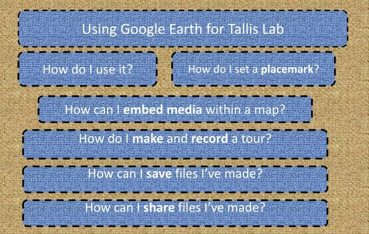
Using Google Earth for Tallis Lab. How do I set a placemark ?. How do I use it?. How can I embed media within a map?. How do I make and record a tour?. How can I save files I’ve made?. How can I share files I’ve made?. Google Earth. What is it?

E N D
Using Google Earth for Tallis Lab How do I set a placemark? How do I use it? How can I embed media within a map? How do I make and record a tour? How can I save files I’ve made? How can I share files I’ve made?
Google Earth • What is it? • A tool that lets you fly around 3D satellite imagery of Earth, as well as the surface of the moon, and the constellations in the sky. • How could we use it in class? • Students can familiarise themselves with a place for location-based work. • Go on virtual ‘holidays’ to different countries. • Students can record their own tours and add audio, pictures and video to them. • Follow a travelogue or travellers diary. • Attach photos, audio, stories to placemarks for field trips, school journeys, sports days etc. Where do I get it? Download it from http://earth.google.com Install it on your computer and use the search bar to find things. You can search by keyword, postcode, latitude and longitude.
Toolbar 1 2 3 4 5 6 7 8 9 10 11 12 From Left to Right: Add a placemark Add a polygon Add a path Add an image overlay Record a tour Look at historical data Change the time of day Google Sky Ruler Send a link to this place Print the screen Switch to Google Maps How do I use it? Put a postcode or place name into the search bar, and Google Earth will find it. You can use the mouse to move the globe around, double click to zoom, or use the scroll wheel.
Drop a pin / Add a placemark. • This is the way we make marks, or add information to a map. • How to: • Fly to a place that has a special meaning to you by typing in the text bar, or by using the mouse. • Click on the ‘add placemark’ icon, or select it from the ‘Add’ menu at the top. • Change ‘Untitled Placemark’ to a different name, and write something in the description box that means something to you. • Click on OK at the bottom. • Congratulations, you have made your first placemark! Is that all? The placemarks are versatile, and can contain a lot of embedded information, linked to a location. Look for ideas in some of the files here on this website. If your computer has a microphone, you can record narration on a tour. Ambitious types could even design 3D models in Google Sketchup and export them as a KMZ file. Try going to this website and download the Thomas Tallis school 3d model
Embedding media in a placemark. How? Add a placemark by clicking on the icon, or selecting it from the ‘Add’ menu. If you copy and paste the embedcode from a website like youtube or voki into this box and click on OK. then an embedded file will play inside the pop-up window when someone double clicks it in Google Earth, it will appear!
<embed> with the best of ‘em Go to http://www.wordle.net/create And embed a wordle in a placemark, by grabbing the <embed> code. Grab the <embed> code for a wallwisher. Paste It into a placemark, and you have a location-linked wall. Go to YouTube, grab the <embed> code and paste it into the description box of a placemark. Grab the <embed> code for an audioboo. Copy –Paste. You can now place sound recordings on a map. Make a Voki, copy and paste the <embed> code. –You now have a personalised soundbite to add. Make a questionnaire in google docs. Embed that in a kml file Post a the url of any old website and see what happens! Most importantly . Anything that you make will be lost, unless you save your placemarks using the ‘Save Place As…’ option by right clicking in the My Places window .
Making and Saving Tours Tours are amazing. They record anywhere that the student flys to, and allows them to record an audio track over the top of their fly-by. They could use this to: - Tell a story -Virtually visit another country -Recount a journey that they or others have made -Tours can follow a predetermined path. Download The Beast of Ditchling here and see how to combine different elements together. • How do I make a tour? • Go to the ‘Add’ menu • Select Tour • Press the record button • Begin your fly around • Click on the microphone if you wish to narrate over it. • When you have finished, Click on the record button to stop. • A player bar appears to control the speed of playback. • Click on the disk icon to save a tour.
Saving your maps Google Earth saves annotations and content in a format called KMZ/KML. Anytime you edit a placemark, place a photo, or record a tour, it will appear on the menu in the ‘My Places’ bar shown here. How to save a file. Right click on anything that you have made or edited in this menu. You need to click and select ‘Save Place as…’, and choose a filename and directory to save it in. The file will be saved with a .KMZ or .KML suffix. These can then be e-mailed to other people, uploaded, or joined together for whole class annotations.
How can we share the files with each other? Email the complete .KMZ files to locations@tallislab.com Upload the files to your TallisLab Google Docs Account What if I can’t use Google Earth for whatever reason? Most of the activites in the second half of term 3 can be explored without Google Earth itself, but it does allow us to do amazing things with media. -Imovie has a ‘map’ option that can be used to chart a journey in an Indiana Jones stylee -Google maps can be accessed from any computer, and can print maps. What if I don’t want to use Google Earth? There are analogue ways to do these activities, creative writing, in the workbooks, using printed maps and pins, audio recordings, role-plays, drawing their own maps, posters, animations, comics, storyboards, animations, making models….