Download
1 / 23
230 likes | 238 Views
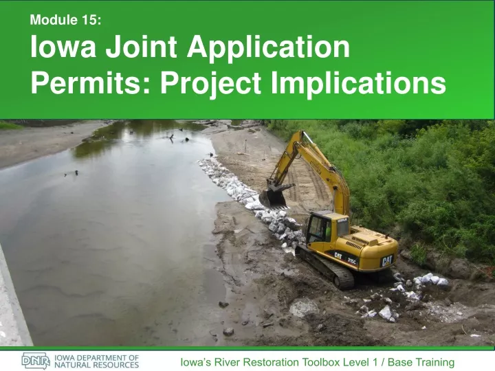
Module 15: Iowa Joint Application Permits: Project Implications. Iowa’s River Restoration Toolbox Level 1 / Base Training. The Joint Application. Same form and plans go three places for various purposes:

E N D
Module 15:Iowa Joint Application Permits: Project Implications Iowa’s River Restoration Toolbox Level 1 / Base Training
The Joint Application Same form and plans go three places for various purposes: • US Army Corps of Engineers Rock Island District handles Section 404 and Section 10 of the Clean Water Act (CWA), regulating discharge of dredged or fill material into waters of the United States. If a federal action is determined, documentation for National Environmental Policy Act (NEPA) and Section 106 of the National Historic Preservation Act (NHPA) may be also required. • Iowa DNR Floodplains handles review of flood impacts and coordinates DNR fishery and/or wildlife impacts. • Iowa DNR Sovereign Lands reviews whether riverbed is state-owned and special rules apply, and reviews for project impacts to state-listed threatened and endangered species.
The 404 Permit • USACE Rock Island District receives all permits statewide • Re-framing a stabilization project by looking at drivers of instability and restoring functions in sync with natural resource manager goals can help avoid impacts that may otherwise require individual permits.
USACE Review Determines Impacts • If filling >.1 acre of wetland or 300 linear feet of stream, mitigation is likely to be required • For significant adverse impacts, reviewers first ask if the applicant can avoid or minimize the impacts • Individual permit with public comment period required if impacts exceed NWP thresholds • Nationwide Permits always avoid public comment period and alternatives analysis http://www.mvr.usace.army.mil/Missions/Regulatory/Iowa-Stream-Mitigation-Method-Guidance-and-Links/
Avoiding Impacts • For stabilization projects, design using “net benefit” practices identified in the ISMM. Examples- Restoring low flood benches on aggrading or entrenched streams.- Using Geomorphic Channel design for facet-level restoration- Bank shaping- Fish-passable grade control- Protect only the bank toe, vegetate the rest- Establishing / restoring riparian buffer in the project • Make sure to also describe improved stream functions as a key objective to the project (ecological lift) • Include assessment documentation, such as the Toolbox outputs and checklists or Natural Channel Design Checklist. • Involve a fish biologist to encourage techniques that improve habitat. (i.e., select a thalweg-moving structure that offers cover and depth for fish.)
Relevant Nationwide Permits Under Section 404(e) of the Clean Water Act, the U.S. Army Corps of Engineers (USACE) can issue general permits to authorize activities that have only minimal individual and cumulative adverse environmental effects. Receiving a Nationwide Permit reduces permitting timeline and public comment period. • Nationwide Permit 27: Restoration activities • Nationwide Permit 13: Bank stabilization • Nationwide Permit 53: Removal of low-head dams (new in 2017) These permits are reviewed and updated every five years.
Nationwide Permit 13 Bank stabilization as described in the 2017 Nationwide permits: “…Activities necessary for erosion control or prevention, such as vegetative stabilization, bioengineering, sills, riprap, revetment, gabion baskets, stream barbs and bulkheads or combinations of bank stabilization techniques provided the activities meet certain criteria…”
Limitations of a Nationwide Permit 13 • Must do minimum linear feet to protect • No more than 500 feet (but waivers are possible) • One cubic yard per running foot along the length of treated bank, below the ordinary high water mark (waivers are possible) • Discharge into Special Aquatic Site (wetlands) may require mitigation (greater than 0.1 acre) • No impairment of flow • Must be sized properly (Don’t use bed load for stabilization) • Native plants • Not a channelization • Must be maintained • Pre construction notification only required if: • there are impacts to greater than 500 linear feet, or exceeds 1 cy/lf and/or • impacts occur in special aquatic sites, sites with known cultural resources or endangered species habitat
Nationwide Permit 27 The project must be planned, designed and implemented so that it results in aquatic habitat that resembles an ecological reference. • Ecological reference may be based on intact aquatic habitat. • Bank stabilization ≠ aquatic habitat restoration • Documentation of environmental lift is required
Examples Permitted Under Nationwide 27 • Removal of accumulated sediment (grading for new vegetation) in conjunction with seeding and planting of native vegetation • Water control structures, dikes and berms, for the purposes of enhancing and enlarging existing wetlands (not applicable in streams) • Current deflectors (J-hooks, weirs), not applicable for stream channelization or thalweg movement • Implementation of a riffle/pool complex • In-stream structures enhancing aquatic life habitat • Re-meandering of streams, where appropriate • Removal of stream barricades • Removal of undersized culverts (not replaced with bigger ones) • Plowing or disking to prepare seed bed • Mechanized clearing to remove non-native vegetation in conjunction with seeding and planting of native vegetation
Iowa Floodplain Development Permits The permit system helps avoid new impingements in the floodplain, and placement of damageable infrastructure where it is predictable that it will be damaged.
Early Project Considerations Once you have an early concept and location, ask yourself: • Do I need a floodplain permit? https://programs.iowadnr.gov/maps/floodplain/pqc.html • Is the project in a Detailed FEMA Flood Insurance Study (FIS) area? Find out by using FEMA’s Flood Map Service Center… plug in the address to see if you are working in a FIS. https://msc.fema.gov/portal/home • Is it in Zone AE?Then hydrology and hydraulics must be based on FIS.
When Project is in a Detailed FEMA Flood Insurance Study Zone AE … • If the proposed project is located within the floodway as delineated in a FEMA Flood Insurance Study and there is apparent or possible flow obstruction, a hydraulic model showing no increase (0.00 feet) in the 100 year flood elevation will be required. A HEC RAS model is standard. Engineer must certify the No-Rise Analysis. • Further steps and instructions are available: http://www.iowadnr.gov/Environmental-Protection/Land-Quality/Flood-Plain-Management/Flood-Plain-Dev-Permits To obtain copy of hydraulic model from the FEMA Library, see: https://www.fema.gov/media-library/assets/documents/7320
Situation #1: You Need to Net Fill to Tighten up an Overwide / Aggrading Channel • Generally, projects that cut only, with no fill in the floodway, clearly doesn’t impact the floodplain and can be permitted. • Net cut/fill can usually be permitted, too, by showing cross sectional area cut and filled. • But what about building low benches or putting low structures out into the channel into an aggrading / overwide or laterally migrating stream? Does this always require a model?
The Case You Can Make “Building back” the bank edge with various structures or practices is easier for floodplains to approve in areas where the stream has aggressively shifted. 100 feet from 2007 to 2014
Building Back Bank – Usually Acceptable 2006 Bank Edge Present Bank Edge
Situation #2: Grade Control Grade structures, sills, or channel-wide fish habitat features could be interpreted as dams, requiring flood easements from upstream landowners. This can be avoided.
Approach 1: Show No Impact in Profile Note that toe wood protrudes only slightly above low-flow water surface Note that cross vane will not exceed thalweg elevation at the controlling riffle Note that j-hook’s sill will not exceed thalweg elevation at the downstream controlling riffle
Don’t Exceed a Recent Bed Elevation Former riverbed Note that crest elevation of rock arch rapids for grade control will not exceed former bed.
Approach #2: No Impact in Cross Section Clearly show only Note that j-hook’s center 1/3 of cross section is lower than existing thalweg elevation in the pool cross section
Sovereign Lands Environmental Review • Requires approvals for construction on state lands / sovereign streams and identifies habitat of threatened or endangered species • If excavation will…- disturb the wetted river channel- remove trees- disturb a native plants community on banks… send early concept with location to DNR Sovereign Lands staff and ask for environmental review for likelihood of T&E species impacts. If environmental review shows T&E habitats are likely to be adversely impacted, expect to either do an additional biologist survey (mussels, plants) to avoid, or adhere to conditions (time to avoid bat nesting season for tree removal, for example).
Early Review Considerations Once you have an early concept and location: • Will the project direction (excavation) possibly affect archaeological or historic sites?- For ~$500, Office of State Archaeologist can review a concept-level plan for likelihood of impacts to avoid. • Will wetlands be impacted? - Check NWI data to see if models predict morethan 1/10 of acre of wetland would be impacted. Each group (USACE and DNR) has a pre-permitting process for concepts upon request. Taking advantage of this can help design around conflicts that would have otherwise arisen later.
Other Relevant Permits • NPDES Storm Water Permits are required for any project that disturbs more than 1 acre of land. Pollution Prevention Plan is required in this case to prevent site runoff. • DNR Floodplain letter may also refer you to a local floodplain coordinator, who may require an additional permit or may simply need to file the project.