Download
1 / 33
330 likes | 331 Views
This study explores cases of local heavy rain and thunderstorms at the Bulgarian Black Sea coast, using conventional weather data, numerical weather prediction models, and weather radar imagery. The analysis examines the factors contributing to heavy rain in the region and highlights the limitations of current forecasting models. Recommendations are provided to improve heavy rain warnings in the future.

E N D
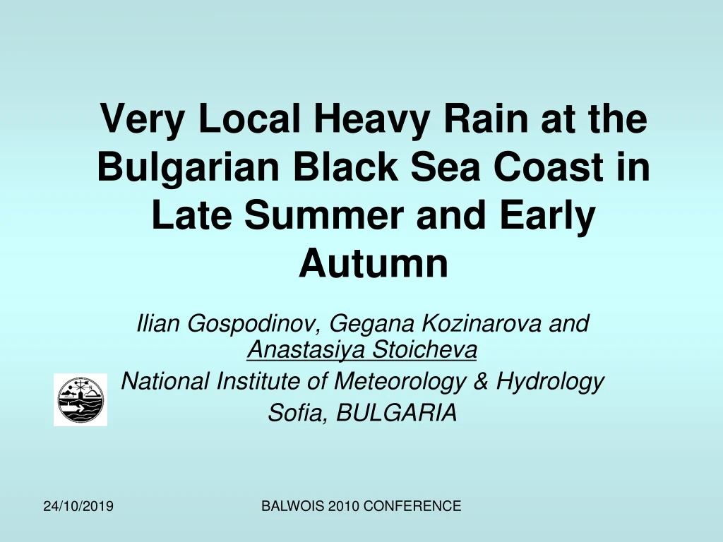
Very Local Heavy Rain at the Bulgarian Black Sea Coast in Late Summer and Early Autumn Ilian Gospodinov, Gegana Kozinarova and Anastasiya Stoicheva National Institute of Meteorology & Hydrology Sofia, BULGARIA BALWOIS 2010 CONFERENCE
CONTENT • SHORT INTRODUCTION • THREE CASES: • Local thunderstorm and heavy rain in Varna, 1 October 2009 • Local heavy rain in Ahtopol, 19 October 2006 • Very local thunderstorm in Lozenets, 11 July 2006 • CONCLUSIONS BALWOIS 2010 CONFERENCE
WHERE ARE PLACED VARNA, AHTOPOL AND LOZENETS? VARNA SOFIA LOZENETZ AHTOPOL BALWOIS 2010 CONFERENCE
WHAT DATA WE USED? • conventional weather data from the meteorological network of stations of the National Institute of Meteorology and Hydrology (NIMH) of Bulgaria • state-of-the-art systems for visualization of weather data • numerical weather prediction (NWP) models’ output • weather radar imagery BALWOIS 2010 CONFERENCE
What is the reason for heavy rain over the coast line? • Bocheva L., P. Simeonov, I. Gospodinov, T. Marinova, 2008: Torrential Precipitation Events in Bulgaria: A Comparative Analysis for East Bulgaria. BALWOIS 2008, 27-31 May 2008, Ohrid, Republic Macedonia (CD version). • Bocheva L., I. Gospodinov, P. Simeonov, T. Marinova, 2009: On change in extreme daily precipitation characteristics in Bulgaria (1961 – 2007). 5th European Conference on Severe Storms, 12 - 16 October 2009 - Landshut – GERMANY. BALWOIS 2010 CONFERENCE
IN THE LATE WARM SEASON the dominant mid-troposphere flow BIGGER THERMAL FORCE DRIVING THE CONVECTION smaller thermal force driving the convection CF LAND WARM WATER BALWOIS 2010 CONFERENCE
Questions? • Can this mechanism explain the very local thunderstorms and heavy rainin our cases? • Why neither models nor forecasters expected such big amount of rain /some rain was forecast for that region/? BALWOIS 2010 CONFERENCE
the rain started at about 11h local time (8h UTC) and ended at about 12h (9h UTC) the rain which has been measured at the synoptic station of Varna was 38mm heavy rain caused a flash flood thunderstorm activity was also reported only the very coastal part of the city was concerned SYNOP 2009/10/01 09h 15552 41420 62302 10182 20182 30130 40177 52002 78282 86300 333 10198 20168 555 50033 69999 92022 92428= 2009/10/01 12h 15552 11458 30904 10208 20199 30115 40162 58015 6038171081 83300 222// 00200 2//01 333 10218 20168 555 59404 69099 71254 92024 92426 93038= What was the reality? Varna, 1 October 2009 BALWOIS 2010 CONFERENCE
Some pictures from Varna BALWOIS 2010 CONFERENCE
Synoptic situation Varna, 1 October 2009, 00 UTC MSLP in hPa, geopotential at 500hPa, 850 hPa T (◦C), RH(%) at 700hPa; 1.10.2009 00h UTC BALWOIS 2010 CONFERENCE
Strong jet over the north-east part of Bulgaria BALWOIS 2010 CONFERENCE
Expected precipitation, ECMWF BALWOIS 2010 CONFERENCE
Expected precipitation, GFS • 01/10/2009 06 UTC • 01/10/2009 12 UTC BALWOIS 2010 CONFERENCE
Forecast of rainfall amount. Model ALADIN (30.09.2009 12 UTC). Valid for 06 – 09h UTC, 1/10/2009 BALWOIS 2010 CONFERENCE
The weather radar images from the meteorological radar of the Varna International airport, 1/10/2009 at 08:16:57 UTC BALWOIS 2010 CONFERENCE
For deep convection we need the following ingredients: • Moisture • Instability • Up-motion • Also are very important: • specific meso- and large-scalefeatures related to the environment of severe convection that are seen for example on satelliteimagery /WV-images/. BALWOIS 2010 CONFERENCE
What we have? • Moisture – from the sea water which generates moist and warm air mass • Instability condition • the frontal line is actually through the northeastern part of Bulgaria - this is typically a place where convergenceof wind from both sides of the line occurs. • high northwestern winds at altitude related tothe jet associated with the frontal zone • Up-motions • the convergence alongthe frontline should only facilitate the convective motion BALWOIS 2010 CONFERENCE
Why the forecasts were not good enough? • the weak anticyclone near thesurface over the Black Sea would provide backward transport of warm and moist air to the coastalline MSLP (hPa) and geopotential at 500hPa 01/10/2009 12h UTC BALWOIS 2010 CONFERENCE
Why the model’s forecast was not good enough? • Thecomplexity of the topography of the coastal line in the NWP models is underrepresented - it issmoother than in the reality • The formation of surface air masses over the warm sea water is probably underestimated AS A RESULT: although some precipitation formation is well simulated by themodel the intensity of the process is underestimated BALWOIS 2010 CONFERENCE
RECOMMENDATIONS: • Some more in-depth analysis of theNWP forecast however could help to bring more insight and eventually improve the heavy rainwarnings • Particular care should be takento examine the vertical cross-sections of the wind fields forecasted by any model across the coastalline BALWOIS 2010 CONFERENCE
Local heavy rain in Ahtopol, 19 October 2006 SYNOP • 2006/10/19 09h • 15661 41465 80206 10106 20102 30132 40168 53002 76366 8572/ 333 10145 20105 555 597// 92034 92437= • 2006/10/19 12h • 15661 11465 80204 10102 20098 30111 40147 58021 6030176366 8572/ 222// 2//02 333 10145 20100 555 598// 69999 71245 92034 92437 93030= • 2006/10/19 15h • 15661 41465 83204 10116 20109 30111 40147 54000 76166 8572/ 333 10145 20100 555 595// 69999 92034 92437= • 2006/10/19 18h • 15661 11465 83204 10116 20109 30111 40147 54000 6032276166 8572/ 333 10145 20100 555 595// 69999 71845 92034 92437 93032= Synoptic map of Bulgaria, 19/10/2006, 12 UTC BALWOIS 2010 CONFERENCE
MSLP in hPa, geopotential at 500hPa, 850 hPa T (◦C), RH (%) at 700 hPa; 19/10/2006 00h UTC BALWOIS 2010 CONFERENCE
Expected precipitation, GFS • 19/10/2006 00 UTC • 20/10/2006 00 UTC BALWOIS 2010 CONFERENCE
An anticyclone over the Black Sea - the general flownear surface is from thenortheast BALWOIS 2010 CONFERENCE
A cyclonic circulation to the southeast of Bulgaria - it favors the upward motion BALWOIS 2010 CONFERENCE
As a result: • The warm and moist air from the sea reaches the coast; goes inland it is forced tolift up by the mountain (up to 1000 m) barrier • When the air mass overcomes the mountain obstacle it is no longer as moist andthe topography is no longer favorable for uplift That is why similar amounts are not observed furtherthan 10 to 20 km inland BALWOIS 2010 CONFERENCE
Very local thunderstorm in Lozenets, 11 July 2006 MSLP in hPa, geopotential at 500hPa, 850 hPa T (◦C), RH (%) at 700 hPa; 11.07.2006 00h UTC BALWOIS 2010 CONFERENCE
Expected precipitation, GFS • 11/07/2006 00 UTC • 11/07/2006 06 UTC BALWOIS 2010 CONFERENCE
The weather radar images from the meteorological radar of the Varna International airport, 11/07/2006 01h UTC BALWOIS 2010 CONFERENCE
What is it specifically? • The dynamics can be classified as intermediate between the case in Varnaand the case in Ahtopol • The process was so local that no weather station reported rain or thunder • The rain and the strong wind caused damage and the media reported onthat • It occured at late night before the sunrise – warm water BALWOIS 2010 CONFERENCE
Thedominating flow near the surface was from the northeast and was bringing moist and warm air towardsthe land 11.07.2006 00h UTC BALWOIS 2010 CONFERENCE
Conclusions • There are some situations in which the high-resolution NWP models can not feature well the precipitation patterns • We have to stress our attention over such cases because of their significance for good forecasts • It is advisable in the late warm season to watch for the presence of ashallow anticylone over the Black Sea and for a mid-troposphere cyclonic circulation over EasternBulgaria. BALWOIS 2010 CONFERENCE
Thank you for your attention! BALWOIS 2010 CONFERENCE