Download
1 / 23
230 likes | 390 Views
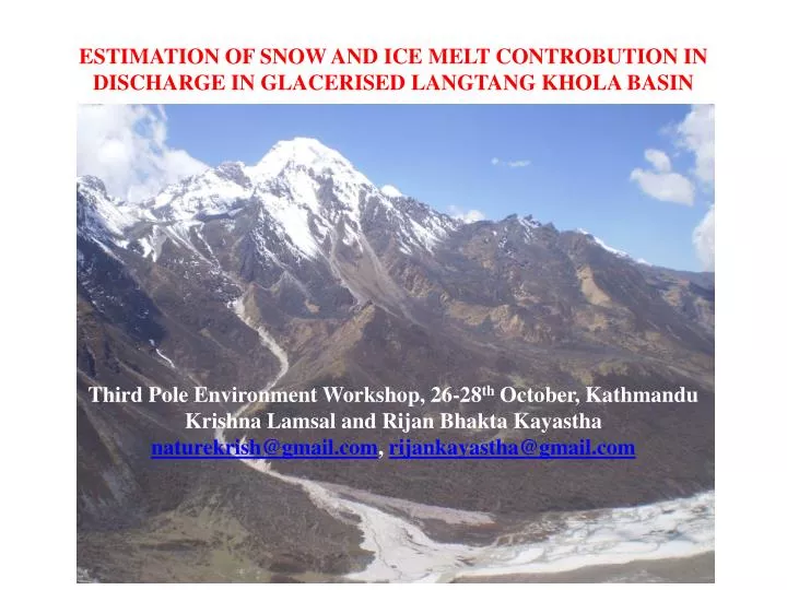
ESTIMATION OF SNOW AND ICE MELT CONTROBUTION IN DISCHARGE IN GLACERISED LANGTANG KHOLA BASIN. Third Pole Environment Workshop, 26-28 th October, Kathmandu Krishna Lamsal and Rijan Bhakta Kayastha naturekrish@gmail.com , rijankayastha@gmail.com. Introduction and Overview of the Problem.

E N D
ESTIMATION OF SNOW AND ICE MELT CONTROBUTION IN DISCHARGE IN GLACERISED LANGTANG KHOLA BASIN Third Pole Environment Workshop, 26-28th October, Kathmandu Krishna Lamsal and Rijan Bhakta Kayastha naturekrish@gmail.com, rijankayastha@gmail.com
Introduction and Overview of the Problem More than 3200 glaciers Major rivers are glacier fed Sixty-seven percent of glaciers are retreating at a startling rate in the Himalayas and the major causal factor has been identified as climate change (Ageta and Kadota, 1992; Yamada et al., 1996; Fushinmi, 2000). Glaciers ‘mother’ several rivers and streams with melt runoff. A significant portion of the low flow contribution of Himalayan rivers during the dry season is from snow and glaciers melt in the Himalayan region. The Himalayan Rivers are expected to be very vulnerable to climate change because snow and glacier meltwater make a substantial contribution to their runoff (Singh, 1998). The magnitudes of snowmelt floods are determined by the volume of snow, the rate at which the snow melts and the amount of rain that falls during the melt period (IPCC, 1996b).
In Nepal, there are 3,252 glaciers that cover 5,323 sq.km in area with estimated ice reserve of 481 Km3. Koshi River Basin alone comprises 779 glaciers with an area of 1,409.84 sq.km and has an estimated ice reserve of 152.06 cu.km (Mool et al., 2001). The contribution of snow and glacial melt to the major rivers in the region ranges from less than 5% to more than 45% of the average flow (Jianchu et al., 2008). The contribution of Nepalese rivers to the Ganges is about 41% to the total runoff, and 71% of its lean season flow (Alfred, 1992).
A comprehensive analysis of trends in river flow has not been performed yet in Nepal. However a preliminary analysis of the river discharge i.e. trends in large outlet rivers, southern rivers and snow fed rivers have been carried out. • Gurung (1997) has revealed that there will be decrease in runoff in dry seasons and increase in runoff in monsoon season under the doubled CO2-scenario using the Canadian Climate Centre Model (CCCM) and Geophysical Fluid Dynamics Laboratory (GFDL) models. • The annual runoff of Kali Gandaki River in Nepal Himalayas increased by about 1% annually for 1964-2000 (Shrestha, 2005). • The contribution of snowmelt in stream flow is found as 17.5% in winter, 13% in summer and 13% in annual flow in the average from 2002 to 2003 (Shilpakar et al.,2008). The study demonstrates that the impact of climate change to stream flow is significant, which is in increasing trend resulting from snow melt contribution.
Studies in Langtang Khola Basin A conceptual runoff model called HYCY-MODEL Fukushima et al. (1991) Braun et al.(1993) Ranaet al. (1996) Chaulagain (2007) focused on socio-economic dimension Contribution of snow and Ice melt in stream flow? This research is the study of Langtang Khola basin in view of the contribution of snow melt in stream flow and impact of climate change on water resource in view of runoff sensitivity
Objectives and Methodological Outline The objective of the present study is the discharge estimation from the glacierizedLangtang Khola Basin. Specific Objectives: • To estimate the contribution of snow and ice melt in the discharge from Langtang Khola. • To determine the sensitivity of the river discharge in response to the temperature change. • To determine the change parameters of climate through the analysis of hydrological and meteorological information of Langtang
Methodology contd……… Positive Degree Day Method • This method is based on the assumption that the melting of snow or ice during that period is proportional to the sum of the daily mean temperature above the melting point during that period, and the sum is called the positive degree day (PDD) sum. • The factor linking to this temperature sum is called the positive degree day factor(k). • The degree day factor involves a simplification of the complex processes that are properly described by the energy balance of the glacier surface and overlaying atmospheric boundary layer (Braithwaite and Olesen 1989). This is because the factors that determine the melt processes are correlated with the temperatures. • In this study, the classical degree day method is used to estimate snow and ice melt, but the PDDs are calculated from monthly mean air temperature using the concept of normal distribution (Braithwaite 1985).
Methodology contd……… • Input data • Monthly mean Temperature • Monthly Precipitation • Debris properties • Thermal resistance • Critical thermal resistance • Degree-day factors: • Snow Ice (mm d-1 oC-1) • 7.0 8.0 (4000-5000 m) • 10.5 9.5 (> 5000 m)
Methodology contd……… Ice melt under a debris layer • The energy available at the top of debris layer is used to melt ice under the debris and assumed that no energy loss while transferring energy from the top surface to debris-ice interface and all energy is used for melting ice. • Calculated value of kd/kb is 0.54. Two values of kd/kb are used. • kd/kb value Altitude band • 0.50 4125m - 4375m asl • 0.58 >4375 m asl Melting from ice/snow from glacier and rocky areas = Monthly PDD × Positive Degree Day factor for snow or ice ablation.
Methodology contd……… Estimating Precipitation Precipitation was assumed as a function of altitude (Seko, 1987) as fallows PZ= PBH when Z<4000m = PBH[1+0.0003 (Z - 4000)] when Z= 4000m to 5000m =1.3 PBH when Z> 5000m
Methodology contd……… Calculated monthly snowfall amount in precipitation versus monthly air temperature on glacier A0X10 (after Kayastha et al., 2000)
Methodology contd……… Discharge = Melting from bare ice/snow + Snowmelt above debris & rock+ Ice melting under debris +Rainfall The snow and ice melt are calculated in every 250 m altitude bands by dividing the drainage basin of 500 m as shown in Fukushima et al., 1987
Map of the Langtang Khola Catchment with Gauging Station (cyan) and Climate Station Kyangjing (green).
Main Physical Characteristics of the Investigated Basin Name of the basin LangtangKhola Name of the area Langtang Valley Mountain range Himalayas Elevation range of the basin (m a.s.l.) 3840-7234 Latitude/Longitude 28008’-28023’N/85035’-85048’E Area (km2) 333 Glaciers and permanent snow(%) 38 Dominant vegetation type No vegetation Forest(%) -
LANGTANG HYDRO-METEOROLOGICAL STATION , KYANGJING @ AN ALTITUDE OF 3920 m asl
Result and Discussion • Runoff Modeling of Langtang Khola @ Kyangjing
Result and Discussion contd…….. Snow/Ice melt Contribution in Discharge
Result and Discussion contd…….. • Considerable contribution • 12.32% contribution in Winter Season • 10.00% in Pre Monsoon Season • 9.56% in Post Monsoon Season • 13.59% in the average annual stream flow • Continuous fed by the snow and ice melt • Contribution more in the low flow season
Result and Discussion contd…….. Sensitivity Analysis The subscriptions P and T denote the changes in temperature (°C) and precipitation (%) and the plus and minus sign indicates the increment and decrement in them.
Result and Discussion contd…….. Time series analysis of Hydrological and Meteorological data Annual mean temperature, total precipitation, discharge in the Langtang Station.
CONCLUSIONS • Snow/ice melt has a significant contribution in the river discharge of glacier fed Langtang Khola, with • 12.32% contribution winter season, • 10% in Pre monsoon season, • 9.56% in Post monsoon season and • 13.59% in the average annual stream flow.