Download
1 / 6
60 likes | 157 Views
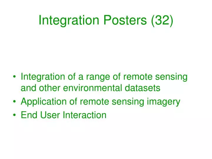
Integration Posters (32). Integration of a range of remote sensing and other environmental datasets Application of remote sensing imagery End User Interaction. Integration. Most integration work involved MODIS data products In order: EVI / NDVI, GPP, LST, Albedo, LAI and NBAR

E N D
Integration Posters (32) • Integration of a range of remote sensing and other environmental datasets • Application of remote sensing imagery • End User Interaction
Integration • Most integration work involved MODIS data products • In order: • EVI / NDVI, GPP, LST, Albedo, LAI and NBAR • Other remote sensing datasets include: Landsat , AVHRR Examples of passive micro-wave in support of SMAP AIRSAR for coarse woody debris
A number of posters (> 4) on either developing or testing a MODIS derived ET product. • Either using MOD16 and testing it • Calibrating MOD16 at flux net sites and applying historically • Or developing new algorithms using corrections with EVI and LST • Integration with FLUXNET data was the most common existing networks, followed by AERONET
Applications • Most applications deal with MODIS Products • EVI, Fire, ET and LST • Other RS datasets used in applications • Landsat, QB (high res), EO-1, IRS, • TOPS architecture and tools for model inter-comparison
Applications • Crops the major application area, both in the US and globally • Stream, Riparian zone both in terms of fish and vegetation • Phenology, land cover, N deposition and biodiversity
User Community • TOPS • Citizen science • Image storage and accessibility