Download
1 / 44
550 likes | 614 Views
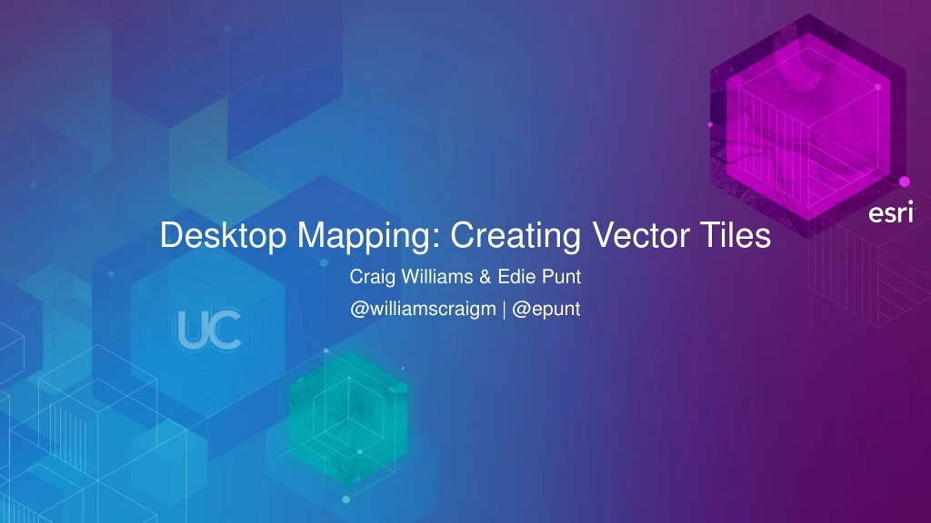
Desktop Mapping: Creating Vector Tiles. Craig Williams & Edie Punt @williamscraigm | @epunt. Overview. Why vector tiles? Vector tiles in ArcGIS ArcGIS vector tile basemaps Consuming and styling vector tiles Overview of creating vector tiles Authoring a map for vector tiles

E N D
Desktop Mapping: Creating Vector Tiles Craig Williams & Edie Punt @williamscraigm | @epunt
Overview • Why vector tiles? • Vector tiles in ArcGIS • ArcGIS vector tile basemaps • Consuming and styling vector tiles • Overview of creating vector tiles • Authoring a map for vector tiles • Common questions
Web and mobile mapping over the last 10+ years • Typically vector content (points, lines, polygons) • Displayed on top of basemaps • Since ~2005, basemaps have usually been raster tiles • Dynamic updates of the map consist of two things: • Updating overlay content as drawn in client • Changing the basemap • Paradigm is changing
Raster tiles for high dpi devices 512 Example from Google Maps 256 512 256
Why vector tiles? Raster is Faster, but Vector is Corrector – Joseph Berry
Why vector tiles? • GPUs have changed the landscape • On your devices (OpenGL ES) • In your browser (WebGL) • On your desktop (DirectX, OpenGL) • Even in virtualized systems (vGPU) • Vector data can remain vector, draw at native resolution • Raster data still best served as raster in most circumstances
Advantages of vector tiles Labels rotate and flip • Display quality • Best possible resolution for Retina displays • Small efficient format • Dynamic labeling • Clearer, more readable text • On the fly labeling for heads up display • Map Styling • Streets, Topo, Canvas from one tileset • Day and Night mode • Restyling
Vector tiles in ArcGIS • Tiles produced in ArcGIS Pro 1.2+ • Use the Mapbox vector tile spec • Which uses Google protocol buffers • Styling converted to Mapbox gl style spec • More aggressive overzoom • Builds on generalization work done in past ArcGIS releases • Support for traditional tiling also exists
Vector tile format • Vector tiles are stored using protocol buffers • Compact binary format for transferring data • Data is organized into layers of geometry with key/value pairs of attributes • A style file defines • The layer order • Definition query for each symbol layer • Symbol information for each symbol layer • Pro maps are converted to this model • Is a downgrade in some cases
Tile creation process: Esri basemaps • Entire world • ~ 8hrs on a desktop machine • Tiles ~ 13 GB • Multiple styles can use the same tiles • Compared to raster for the entire world • ~ many weeks on a server cluster per map style • Tiles ~ 20 TB
Vector tile basemaps • Available on ArcGIS.com since November 2015 • Street (with and w/o relief), Topo, Night, Navigation, Dark Canvas, Light Canvas, Hybrid
Case study: ArcGIS Basemaps
ArcGIS vector tiles – consumption • Tile consumption • ArcGIS JavaScript 3.15+ and 4.0 APIs • Currently uses the mapbox-gl-js library • Need a WebGL capable browser • ArcGIS Runtime Quartz – Beta 2 • Ground up implementation • ArcGIS Pro 1.3 • Will share Runtime implementation
Using vector tiles in your applications • Multiple ways to use vector tiles: • A) Use Esri provided vector tiles / styles • B) Style Esri vector tiles for your own use • Change colors • Drop layers • Match the needs of your application • C) Create your own vector tiles from your own data
Styling vector tiles • Simple Style Copy • Save tile layer to your Portal or Online account • Hand editing JSON • Update map item • Two additional sample Vector Styling Apps simplify this: • Vector Style JSON Editor - GitHub • Vector Basemap Style Editor - GitHub
Demo: Styling vector tiles
Using vector tiles in your applications • Multiple ways to use vector tiles: • A) Use Esri provided vector tiles / styles • B) Style Esri vector tiles for your own use • Change colors • Drop layers • Match the needs of your application • C) Create your own vector tiles from your own data
Creating vector tiles • Tile creation in ArcGIS Pro 1.2+ • Publish tile layers in ArcGIS Online and ArcGIS Server/Portal 10.4+ • Created with GeoProcessing tools • Create Vector Tile Index • Create Vector Tile Package • Accessory tools: • Share Package updated to support vector tiles • Extract Package updated to support vector tiles
ArcGIS vector tiles service http://<catalog-url>/<folder>/<serviceName>/VectorTileServer |--root.json |--tilemap/ |--tile |--resources |--fonts/ |--styles/ |--sprites/ |--info/ Service example
Authoring maps • Only feature layers with simple, unique value, graduated, or class breaks symbology supported • Maps should be re-authored for vector tiles • Limit number of layers • Limit duplication of content • Several improvements have been made in ArcGIS Pro to assist with this • Scale dependent capabilities added to symbology • Alternate symbols added to symbology • Scale based sizing added to symbology • Improvement to scale logic
Scale dependent symbology • Each symbol class can be assigned a scale range • Unique value • Class breaks • Allows a multiscale map to be authored without duplicating content
Alternate symbols for symbology • Symbol classes can switch symbols at scales • Unique value • Allows you to change the appearance of a symbol without duplicating layer
Scale based symbol sizing • Each symbol can have scale based sizing configured • Single symbol • Unique value • Class breaks • Allows for small changes to symbol size across scales
Scale logic changes 1: 1 million • ArcMap and ArcGIS Pro 1.1 • Layers will draw AT and BETWEEN minimum and maximum scales • ArcGIS Pro 1.2, layers don’t draw at max scale by default • -Check “Draw up to and including the maximum scale in scale ranges” to revert to old behavior • This is checked for old Pro projects or imported ArcMap maps Layer 1 Option checked: Both draw Option unchecked: Layer 2 draws 1: 500,000 Layer 2 1: 10,000
Demo: Authoring and creatingvector tiles in ArcGIS Pro
Q: Why would I need to create raster tiles anymore? A: Consider consuming clients and map requirements before committing to vector tiles. At this time, it’s not an answer for everything. Will never be a solution for many raster datasets.
Q: Can my data be extracted from vector tiles? A: Think of vector tiles as generalized graphic derivations of your data. In many cases features are cut at tile boundaries, overlapped at tile boundaries, or are dissolved for optimal draw. Only a minimum number of attributes needed for feature draw are stored. It’s not raw data.
Q: Why don’t I see “Share as vector tiles” in ArcGIS Pro A: The initial implementation is limited to Geoprocessing tools. A full sharing experience is planned for a future ArcGIS Pro release.
Q: Can I create vector tiles for any map projection? A: Only Web Mercator (Auxiliary Sphere) supported for the initial release
Q: Should I re-author my maps for vector tiles? A: Yes, start by reading the help topic titled Author a map for vector tile creation
Q: Will ArcMap support vector tiles? A: It is unlikely that ArcMap will ever support viewing vector tiles. Creation of vector tiles will not be implemented in ArcMap.
Q: Can I do server side vector tile creation? A: Not at this time, we have this on our roadmap for Portal / ArcGIS Online
Q: Vector tiles don’t draw correctly in my browser, is this a bug? A: You’re likely experiencing a problem with WebGL support in your browser. Ensure you have the latest driver for your video card from the driver manufacturer. There are also known issues with WebGL support in Edge specifically. Do not rely on Windows Update on Windows machines for video drivers.
Q: Why aren’t Arabic and Hebrew labels drawing correctly? A: This is a limitation of the vector tile specification for fonts. We know this is a serious problem and are investigating solutions.
Q: Can I use any font for vector tiles? A: From a technical standpoint any TrueType or OpenType font can be processed into the vector tile font format. However, font licenses vary widely and you should ensure you’re licensed for such use.
Q: Can Esri clients view non-Esri tiles conforming to the spec? A: This is our goal. There are examples of this in the JavaScript API. Example: Mapillary
Q: Does the print service support vector tiles? A: Not at this time, the ArcGIS JavaScript API will replace the Esri vector tile basemap layers with the Streets raster tiles. Custom services will be dropped. We hope to support vector tiles in the print service in a future release.
Questions? Please fill out survey