Download
1 / 15
150 likes | 279 Views
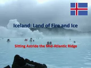
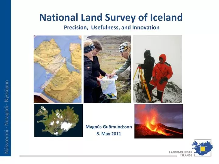
National Land Survey of Iceland Precision, Usefulness, and Innovation. Magnús Guðmundsson 8. May 2011. Iceland. Statistic. Island in the North Atlantic Ocean,103.000 km 2 Capital, Reykjavík, in the South West Population 315.000, mainly near Reykjavík and along the coast

E N D
National Land Survey of IcelandPrecision, Usefulness, and Innovation Magnús Guðmundsson 8. May 2011
Iceland Statistic • Island in the North Atlantic Ocean,103.000 km2 • Capital, Reykjavík, in the South West • Population 315.000, mainly near Reykjavík and along the coast • Average temperature in summer 10 °C • Glaciers and mountains cover around 70% of the country • Volcanic activity, earthquakes and, Geysers
The National Land Survey of Iceland • Established in 1956 as a Governmental institute under ministry for the environment • Main roles are Geodesy, GIS and Remote Sensing • Responsible for mapping of 103.000 km2 • 29 employees • Located in Akranes,45 km north of Reykjavík
National Land Survey of IcelandOrganizational chart from 1st. January 2011
The main tasks of NLSI in accordance with law on land surveying and base-map production No 103/2006. • To advise the Ministry for the Environment in NLSI´s fields of expertise; • To develop and maintain geodetic- and vertical reference systems for the whole of Iceland; • To make, maintain and disseminate digital layerson a scale of 1:50.000 • To register and disseminate information about spatial data in Iceland; • To make and use standards in the field of spatial information; • To provide access to data preserved by the institute; • To cooperate professionally with universities, institutes, businesses and international organizations.
INSPIRE in Iceland • New SDI law is presently in the parliament • Ministry for the Environment is responsible • This law is necessary so INSPIRE can be successfully implemented in Iceland • Responsibility of executing the law will be in the hands of the National Land Survey of Iceland
Database 1:50.000 Topographical database 1:50.000 NLSI maintains a topographical database in 1:50000 scale with the following layers: • Roads (GPS measured with < 5m accuracy) • Height information (contours,DEM) • Water • Land cover • Buildings • Place names • Administrative Boundaries
Geodesy Main projects: • GPS – measurements • Gravity measurements • Height measurements • Establishment of • Vertical reference net • Geodetic reference net ISNET2004 Approximately 150 points
Harmonised Geographic Information for Europe EuroGeographics databases EuroGlobalMap • 38 countries 1:1 Million • NLSI is participating in and delivering data to the EuroBoundaryMap project, EuroRegionalMap and EuroGlobalMap wich are updated every year. EuroRegionalMap • 32 countries 1:250,000 EuroBoundaryMap • 38 countries 1:100,000 and 1:1 million
Arctic SDI A joint circumpolar initiative 1/6 of the earth’s landmass! More than 30 million km2! 24 time zones! 30 different indigenous peoples Over a dozens languages
Arctic SDI - background 2008 – letter from the Nordic Directors of Mapping Institutes 2009 –endorsed by the Arctic Council 2010 – all arctic mapping agencies participating, kick off meeting in Brussels in October 2010 Apríl 2011. Project plan accepted by 9 Mapping Agencies on a meeting in Reykjavík
Future Vision • NLSI has a leading role and supports cooperation in order to secure availability and access to reliable spatial information about Iceland. It promotes its use in diverse and efficient ways, not least as regards environmental matters. NLSI is a proactive knowledge-based institute under constant development, with precision, usefulness and innovation at the basis of its operations.
More info on the home page www.lmi.is • IS-300 Akranes • Iceland • Tel.: (+354) 430 9000 • Fax: (+354) 430 9090 • lmi@lmi.is • www.lmi.is